Browse / Canada / Newfoundland and Labrador / Whitbourne
Whitbourne
Newfoundland and Labradortown
Total population
955
Founded
1880
Demographic figures from Statistics Canada. Overview below cites Wikipedia and may reference a different year.
City facts
Facts from Wikidata (CC0).
Overview
Whitbourne is a town on the Avalon Peninsula in Newfoundland and Labrador, Canada in Division 1.
Read more on WikipediaHistory & geography
History
Whitbourne is named after Sir Richard Whitbourne, one of the most colourful early settlers of Newfoundland. Whitbourne, unlike most communities on the Island of Newfoundland is inland. It was founded in about 1880 during the construction of the Newfoundland Railway and is considered Newfoundland's first inland town. The railway continued to be an important employer in the town until its abandonment in 1988, although its economic significance declined gradually throughout the twentieth century. Sir Robert Bond, the prime minister from 1900 to 1909, played a role in the expansion and planning of the Town and developed an elaborate country home, the "Grange", there. The house is no longer in existence, but part of the estate is now Sir Robert Bond Park, which is noted for an unusual abundance of northern lichens including the relatively rare blue felt lichen (Degelia plumbea).
Excerpted from the corresponding Wikipedia article (CC BY-SA).
Geography
Coordinates & boundaries from the US Census TIGER/Line shapefiles.
Climate
Air quality
Walkability
Amenities nearby
Wildlife & biodiversity
Most-observed species
- American CrowCorvus brachyrhynchos C.L.Brehm, 1822 · Aves264
- Dark-eyed JuncoJunco hyemalis (Linnaeus, 1758) · Aves199
- American RobinTurdus migratorius Linnaeus, 1766 · Aves181
- American herring gull, Smithsonian GullLarus smithsonianus Coues, 1862 · Aves171
- White-throated SparrowZonotrichia albicollis (J.F.Gmelin, 1789) · Aves145
- Yellow-rumped WarblerSetophaga coronata (Linnaeus, 1766) · Aves141
- American Black DuckAnas rubripes Brewster, 1902 · Aves139
- Common LoonGavia immer (Brunnich, 1764) · Aves131
Citizen-science & research observations from the Global Biodiversity Information Facility (GBIF).
Earthquake history
Most recent
- M 3.3 — 2009-04-2928 km SW of Bay Roberts, Canada
Events from the USGS Earthquake Catalog (global) (FDSN Event Web Service).
Photos
Sights & places nearby
Notable people from here
Nearby places in Newfoundland and Labrador
- Blaketown4 mi away · pop. 525
- South Dildo7.1 mi away · pop. 277
- Broad Cove9.5 mi away
- Chapel Arm10 mi away
- Long Harbour-Mount Arlington Heights13.4 mi away
- Conception Harbour14.3 mi away · pop. 743
- Clarke's Beach14.6 mi away
- Salmonier15.3 mi away
- Ballyhack15.3 mi away
- Bay Roberts15.8 mi away · pop. 5,818
- Harbour Main-Chapel's Cove-Lakeview17.1 mi away
- Forest Field18 mi away
Geography & sun
Elevation, sunrise/sunset and daylight from Open-Meteo. Solar climatology from NASA POWER.
Nearby airports
Public attention
Pageview totals from the Wikimedia Pageviews API.
Books about Whitbourne

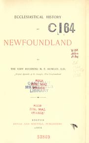

Search results from Open Library.
Recent natural events nearby
Ground air-quality sensors
Recently spotted species
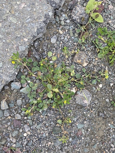
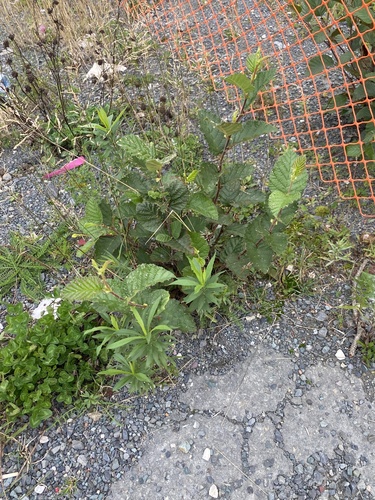
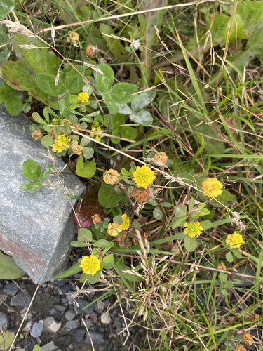
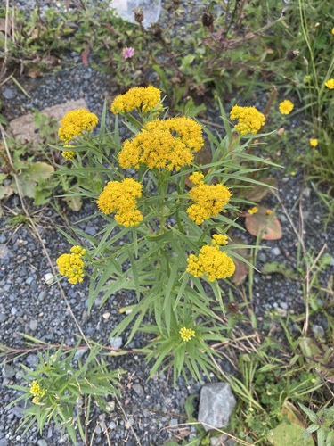
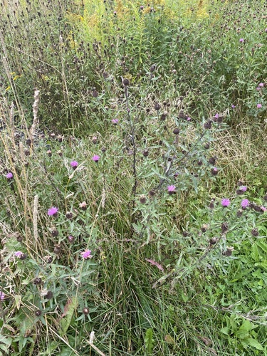
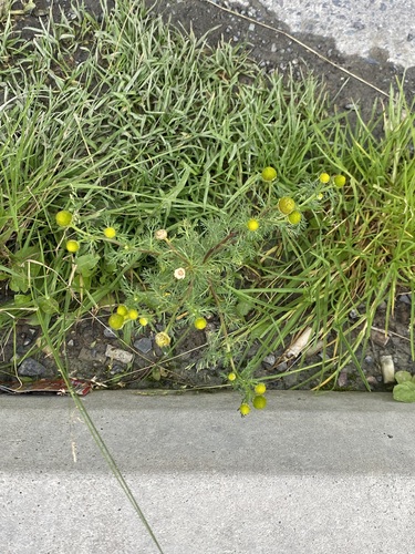
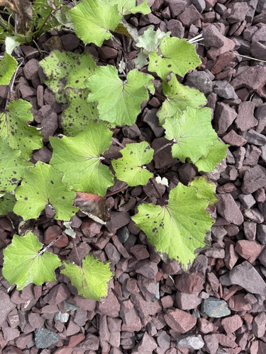
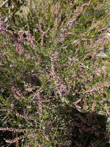
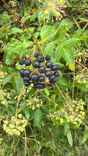
Research-grade observations from iNaturalist (within ~15 mi).
Events
Gallery
Official Identifiers
StatCan — Statistics Canada
- SGC code
- 1001298
- Wikidata
- Q3308746
Standard Geographical Classification (SGC) via Wikidata P3012
Sources
- • Wikipedia
- • Wikidata
- • USGS Earthquake Catalog (global feed)
- • GBIF (Global Biodiversity Information Facility)
- • iNaturalist
- • Open-Meteo / sunrise-sunset.org
- • Wikipedia Pageviews API
- • Open Library
- • StatCan — Statistics Canada — Standard Geographical Classification (SGC) via Wikidata P3012