Browse / Switzerland / Ticino / Canobbio
Canobbio
Ticinovillage

Canobbio
Total population
2,065
Demographic figures from Swiss Federal Statistical Office. Overview below cites Wikipedia and may reference a different year.
City facts
Facts from Wikidata (CC0).
Overview
Canobbio is a municipality in the circolo Vezia of the district of Lugano in the canton of Ticino in Switzerland.
Read more on WikipediaHistory & geography
History
Roman era inscription and cremation graves from the 3rd Century AD indicate that there was an earlier settlement near the modern village. Canobbio is first mentioned in 712 as Canobli. During the Middle Ages it was a farm of the Abbey of S. Ambrogio in Milan. The Church of S. Siro, is first mentioned 863. It belonged to the Abbey of San Pietro in Ciel d'Oro in Pavia. The settlement of Conago is first mentioned in 1335 along with its church of San Silvestro. The Humiliati monastery of S. Caterina in Lugano also owned land in Canobbio. In 1472 the village church in Canobbio separated from the mother church in Lugano (1472) and was incorporated in the parish of Comano. It became an independent parish in 1643. In Canobbio there were two mills, the oldest was owned by the Pocobelli family (1712), and then by Fumagalli family. It was rebuilt in 1900 in brick. The younger mill was built in 1848, for the De Marchi family of Astano and later the Bernasconi from Chiasso. In 1870 the Baron Paul von Dervies, a Russian banker and railroad magnate built the Castello di Trevano as a temple to music, in the vicinity of Canobbio, with a private orchestra of 52 players. Between 1960 and 1990 the number of inhabitants doubled. The number of jobs in the services sector is increasing. Canobbio is home to a district school and a popular shopping center.
Geography
Canobbio has an area, , of . Of this area, or 29.2% is used for agricultural purposes, while or 37.7% is forested. Of the rest of the land, or 50.8% is settled (buildings or roads), or 2.3% is either rivers or lakes and or 2.3% is unproductive land. Of the built up area, industrial buildings made up 6.9% of the total area while housing and buildings made up 22.3% and transportation infrastructure made up 11.5%. Power and water infrastructure as well as other special developed areas made up 8.5% of the area while parks, green belts and sports fields made up 1.5%. Out of the forested land, 32.3% of the total land area is heavily forested and 5.4% is covered with orchards or small clusters of trees. Of the agricultural land, 6.9% is used for growing crops and 22.3% is used for alpine pastures. All the water in the municipality is flowing water. Of the unproductive areas, 2.3% is unproductive vegetation and . The municipality is located in the Lugano district, on a hill north of Lugano. It includes the village of Canobbio and the settlement of Conago.
Excerpted from the corresponding Wikipedia article (CC BY-SA).
Geography
Coordinates & boundaries from the US Census TIGER/Line shapefiles.
Climate
Air quality
Walkability
Amenities nearby
Wildlife & biodiversity
Most-observed species
- Chusan PalmTrachycarpus fortunei (Hook.) H.Wendl. · Liliopsida6,016
- MallardAnas platyrhynchos Linnaeus, 1758 · Aves5,009
- Hooded CrowCorvus cornix Linnaeus, 1758 · Aves3,984
- Great TitParus major Linnaeus, 1758 · Aves3,547
- Eurasian BlackbirdTurdus merula Linnaeus, 1758 · Aves3,443
- European RobinErithacus rubecula (Linnaeus, 1758) · Aves3,155
- Common ChaffinchFringilla coelebs Linnaeus, 1758 · Aves3,047
- Eurasian CootFulica atra Linnaeus, 1758 · Aves2,983
Citizen-science & research observations from the Global Biodiversity Information Facility (GBIF).
Earthquake history
Most recent
- M 4.5 — 2021-12-181 km WNW of Dalmine, Italy
- M 4.1 — 2020-12-170 km SW of Opera, Italy
- M 4.1 — 2017-03-068 km SSE of Muotathal, Switzerland
- M 3 — 2015-11-281 km ESE of Aviatico, Italy
- M 3.3 — 2010-05-111 km WNW of Albino, Italy
- M 3.3 — 2008-12-137 km SW of Livigno, Italy
Events from the USGS Earthquake Catalog (global) (FDSN Event Web Service).
Photos
Sights & places nearby
Notable people from here


People born within ~10 km, from Wikidata (CC0). Click any name for their Wikipedia article.
Nearby places in Ticino
- Comano0.7 mi away · pop. 2,061
- Cadro1.1 mi away · pop. 2,114
- Vezia1.6 mi away · pop. 1,966
- Cadempino1.7 mi away · pop. 1,512
- Villa Luganese1.7 mi away · pop. 571
- Savosa1.7 mi away · pop. 2,276
- Lamone1.8 mi away · pop. 1,766
- Ponte Capriasca1.9 mi away · pop. 1,804
- Massagno1.9 mi away · pop. 6,119
- Sala Capriasca2.2 mi away
- Brè sopra Lugano2.2 mi away
- Capriasca2.2 mi away · pop. 6,524
Geography & sun
Elevation, sunrise/sunset and daylight from Open-Meteo. Solar climatology from NASA POWER.
Nearby airports
Public attention
Pageview totals from the Wikimedia Pageviews API.
Books about this place
Recent natural events nearby
Ground air-quality sensors
Recently spotted species
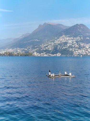
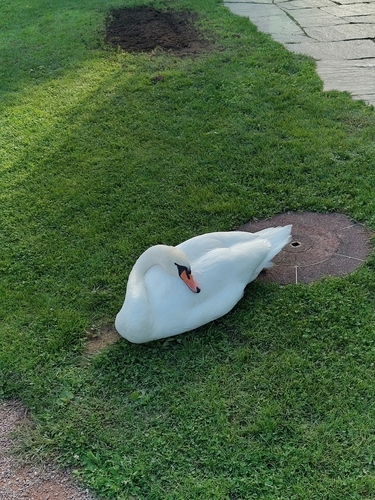
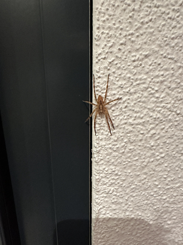
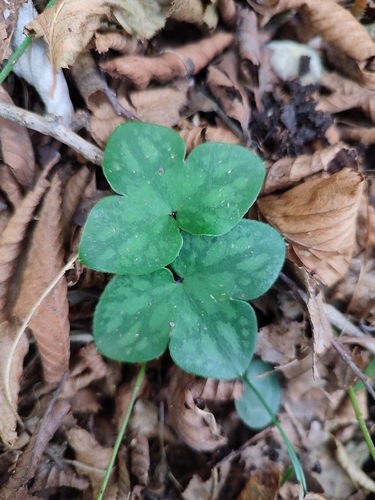
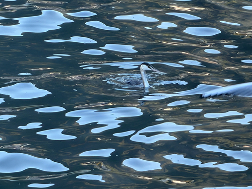
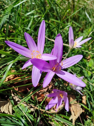
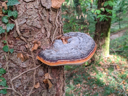
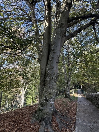
Research-grade observations from iNaturalist (within ~15 mi).
Events
Gallery
Official Identifiers
BFS — Swiss Federal Statistical Office
- BFS-Nr
- 5167
- Population (Wikidata)
- 2,249
- Wikidata
- Q68434
Gemeindenummer via Wikidata P771
Sources
- • Wikipedia
- • Wikidata
- • USGS Earthquake Catalog (global feed)
- • GBIF (Global Biodiversity Information Facility)
- • iNaturalist
- • Open-Meteo / sunrise-sunset.org
- • Wikipedia Pageviews API
- • Wikidata SPARQL (CC0) — population, area, elevation, inception, head of government, Commons image
- • BFS — Swiss Federal Statistical Office — Gemeindenummer via Wikidata P771