Browse / Switzerland / Ticino / Coldrerio
Coldrerio
Ticinovillage
Total population
2,750
Demographic figures from Swiss Federal Statistical Office. Overview below cites Wikipedia and may reference a different year.
City facts
Facts from Wikidata (CC0).
Overview
Coldrerio is a municipality in the district of Mendrisio in the canton of Ticino in Switzerland.
Read more on WikipediaHistory & geography
History
Coldrerio is first mentioned in 852 as Caledrano. In 1170 it was mentioned as Calderario, in 1185 as Caldirera and in 1187 as Coldrario. Archeological finds in the area provide evidence of a continuous settlement since the Neolithic period. Excavations of the nearby peat bog () in 1870 and 1915-21 revealed traces of a settlement with stilt houses. Later findings are from the Roman era and Early Middle Ages. Caledrano was first mentioned as a village during the Early Middle Ages, as were most of the surrounding settlements. It was mentioned several times in the following centuries in connection with gifts given to religious institutions around Como, including S. Abbondio, S. Fedele and S. Lazzaro Hospital. The gift and property documents mention a castle, the village church and several sharecropping farms. It was part of the County of Seprio and by the late 13th century was listed as a municipality. In 1593, it broke away from the parish of Balerna to form an independent parish. The current parish church of St. George was built in the 16th century and enlarged several times. It stands in the center of the village. In 1287, the first church of St. George was dedicated on a hill overlooking the village. Today, the cemetery church of S. Gregorio, better known as S. Apollonia, stands on the site of the first church. The fertile soil of the region allowed the village's population to grow. More recently, Coldrerio has grown as a result of the expansion of Chiasso. About 80% of the working population works outside of the Gem, and many are employees of the Swiss Federal Railways.
Geography
Coldrerio has an area, , of . Of this area, or 68.3% is used for agricultural purposes, while or 15.0% is forested. Of the rest of the land, or 39.8% is settled (buildings or roads) and or 0.8% is unproductive land. Of the built up area, housing and buildings made up 23.2% and transportation infrastructure made up 9.3%. Power and water infrastructure as well as other special developed areas made up 5.7% of the area while parks, green belts and sports fields made up 1.2%. Out of the forested land, 11.4% of the total land area is heavily forested and 3.7% is covered with orchards or small clusters of trees. Of the agricultural land, 30.5% is used for growing crops, while 14.6% is used for orchards or vine crops and 23.2% is used for alpine pastures. The municipality is located in the Mendrisio district, between Mendrisio and Balerna. It consists of the village of Coldrerio and numerous small settlements, of which Villa is the most important.
Excerpted from the corresponding Wikipedia article (CC BY-SA).
Geography
Coordinates & boundaries from the US Census TIGER/Line shapefiles.
Climate
Air quality
Walkability
Amenities nearby
Wildlife & biodiversity
Most-observed species
- Hooded CrowCorvus cornix Linnaeus, 1758 · Aves1,666
- Butterfly-bushBuddleja davidii Franch. · Magnoliopsida1,588
- European RobinErithacus rubecula (Linnaeus, 1758) · Aves1,402
- American PokeweedPhytolacca americana L. · Magnoliopsida1,322
- Eurasian BlackbirdTurdus merula Linnaeus, 1758 · Aves1,306
- Common ChaffinchFringilla coelebs Linnaeus, 1758 · Aves1,251
- MallardAnas platyrhynchos Linnaeus, 1758 · Aves1,235
- Chusan PalmTrachycarpus fortunei (Hook.) H.Wendl. · Liliopsida1,232
Citizen-science & research observations from the Global Biodiversity Information Facility (GBIF).
Earthquake history
Most recent
- M 3 — 2025-10-031 km SE of Montescano, Italy
- M 4.5 — 2021-12-181 km WNW of Dalmine, Italy
- M 4.1 — 2020-12-170 km SW of Opera, Italy
- M 3 — 2015-11-281 km ESE of Aviatico, Italy
- M 3.3 — 2010-05-111 km WNW of Albino, Italy
- M 2.5 — 2008-08-252 km N of Piangaiano, Italy
Events from the USGS Earthquake Catalog (global) (FDSN Event Web Service).
Photos
Sights & places nearby
Notable people from here


People born within ~10 km, from Wikidata (CC0). Click any name for their Wikipedia article.
Nearby places in Ticino
- Novazzano0.9 mi away · pop. 2,410
- Balerna1 mi away · pop. 3,303
- Mendrisio1.2 mi away · pop. 15,562
- Castel San Pietro1.2 mi away · pop. 2,179
- Salorino1.3 mi away · pop. 489
- Rancate1.5 mi away · pop. 1,618
- Ligornetto1.8 mi away · pop. 1,798
- Besazio2.1 mi away · pop. 613
- Vacallo2.3 mi away · pop. 3,388
- Caneggio2.4 mi away · pop. 333
- Tremona2.4 mi away · pop. 523
- Stabio2.4 mi away · pop. 4,418
Geography & sun
Elevation, sunrise/sunset and daylight from Open-Meteo. Solar climatology from NASA POWER.
Nearby airports
Public attention
Pageview totals from the Wikimedia Pageviews API.
Books about this place
Recent natural events nearby
Ground air-quality sensors
Recently spotted species
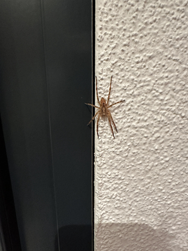
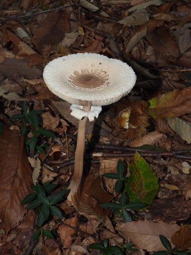
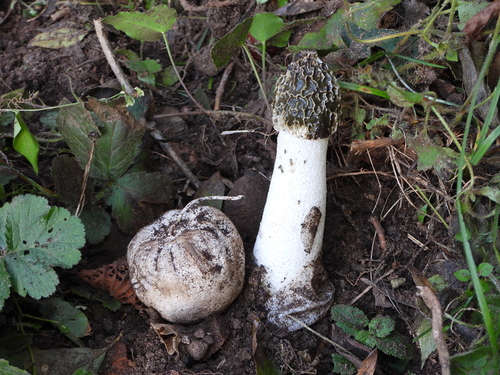
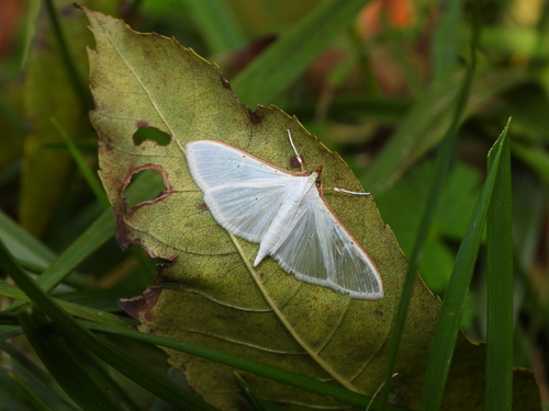
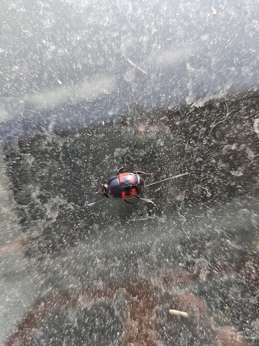
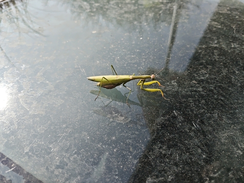
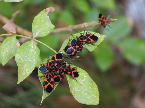
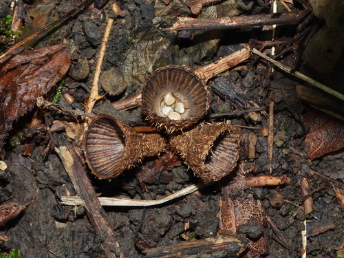
Research-grade observations from iNaturalist (within ~15 mi).
Events
Gallery
Official Identifiers
BFS — Swiss Federal Statistical Office
- BFS-Nr
- 5251
- Population (Wikidata)
- 2,939
- Wikidata
- Q67738
Gemeindenummer via Wikidata P771
Sources
- • Wikipedia
- • Wikidata
- • USGS Earthquake Catalog (global feed)
- • GBIF (Global Biodiversity Information Facility)
- • iNaturalist
- • Open-Meteo / sunrise-sunset.org
- • Wikipedia Pageviews API
- • Wikidata SPARQL (CC0) — population, area, elevation, inception, head of government, Commons image
- • BFS — Swiss Federal Statistical Office — Gemeindenummer via Wikidata P771