Browse / Switzerland / Ticino / Vacallo
Vacallo
Ticinovillage

Vacallo
Total population
3,388
Demographic figures from Swiss Federal Statistical Office. Overview below cites Wikipedia and may reference a different year.
City facts
Overview
Vacallo is a municipality in the district of Mendrisio in the canton of Ticino in Switzerland. It is the first village of the Valle di Muggio.
Read more on WikipediaHistory & geography
History
Like nearby Chiasso, Vacallo was formerly a suburb of Como, until, along with the rest of Ticino it was then annexed from Italian cities in the 15th century by various Swiss forces in the last transalpine campaigns of the Old Swiss Confederacy. More precisely it was 1416 when it was incorporated in the Pieve of Balerna and given to the Rusca family to manage. In the Helvetic Republic, established 1798, it formed part of the canton of Lugano. The creation of the Swiss Confederation in 1803 saw a merger with neighbouring canton of Bellinzona to form the modern canton of Ticino. Due to its proximity with the Italian border, Vacallo had visitors in exile from nearby Italy like Puccini. However, it was a tense place to be during World War II but since then has turned into a sleepy suburb of Chiasso. In 2007, the three mayors of Chiasso, Vacallo and Morbio Inferiore decided to unite into one commune. In return for losing independence, the commune would have gained access to more services, such as retirement homes in the surrounding areas. The new united commune which would have had a population of approximately 15,300 people over a territory of , was voted against by the population in November 2007.
Geography
Vacallo has an area, , of . Of this area, or 45.3% is used for agricultural purposes, while or 37.3% is forested. Of the rest of the land, or 45.3% is settled (buildings or roads), or 1.9% is either rivers or lakes and or 2.5% is unproductive land. Of the built up area, housing and buildings made up 31.7% and transportation infrastructure made up 9.9%. while parks, green belts and sports fields made up 3.1%. Out of the forested land, 32.9% of the total land area is heavily forested and 4.3% is covered with orchards or small clusters of trees. Of the agricultural land, 8.7% is used for growing crops, while 5.0% is used for orchards or vine crops and 31.7% is used for alpine pastures. All the water in the municipality is flowing water.
Excerpted from the corresponding Wikipedia article (CC BY-SA).
Geography
Coordinates & boundaries from the US Census TIGER/Line shapefiles.
Climate
Air quality
Walkability
Amenities nearby
Wildlife & biodiversity
Earthquake history
Photos
Sights & places nearby
Notable people from here


People born within ~10 km, from Wikidata (CC0). Click any name for their Wikipedia article.
Nearby places in Ticino
- Balerna1.3 mi away · pop. 3,303
- Caneggio1.8 mi away · pop. 333
- Coldrerio2.3 mi away · pop. 2,750
- Salorino2.6 mi away · pop. 489
- Novazzano2.6 mi away · pop. 2,410
- Mendrisio2.8 mi away · pop. 15,562
- Rancate3.6 mi away · pop. 1,618
- Ligornetto4.1 mi away · pop. 1,798
- Besazio4.3 mi away · pop. 613
- Tremona4.4 mi away · pop. 523
- Stabio4.7 mi away · pop. 4,418
- Meride4.9 mi away · pop. 341
Geography & sun
Elevation, sunrise/sunset and daylight from Open-Meteo. Solar climatology from NASA POWER.
Nearby airports
Public attention
Pageview totals from the Wikimedia Pageviews API.
Books about this place
Recent natural events nearby
Ground air-quality sensors
Recently spotted species
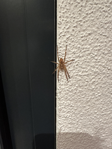
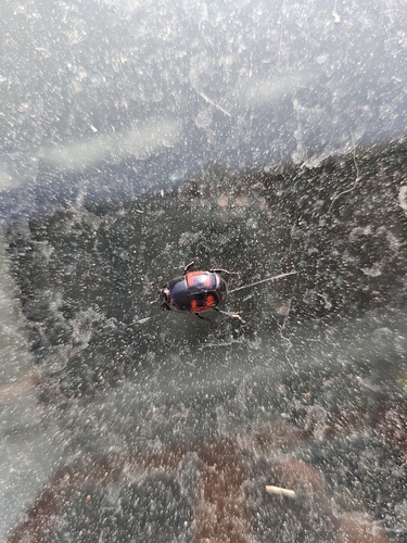
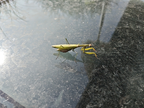
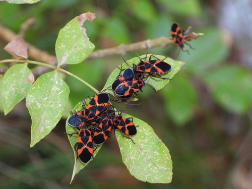
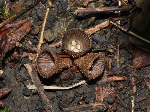
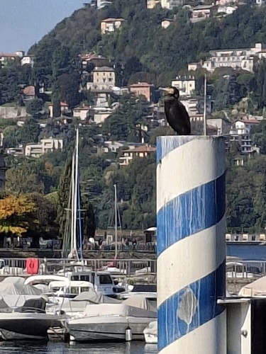
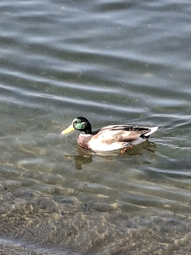
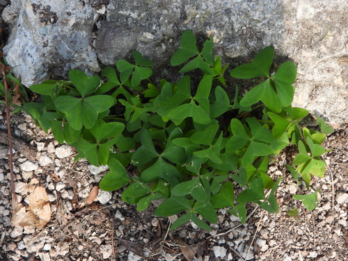
Research-grade observations from iNaturalist (within ~15 mi).
Events
Gallery
Official Identifiers
BFS — Swiss Federal Statistical Office
- BFS-Nr
- 5268
- Population (Wikidata)
- 3,383
- Wikidata
- Q67470
Gemeindenummer via Wikidata P771
Sources
- • Wikipedia
- • Wikidata
- • iNaturalist
- • Open-Elevation
- • Open-Meteo / sunrise-sunset.org
- • Wikipedia Pageviews API
- • Wikidata SPARQL (CC0) — population, area, elevation, inception, head of government, Commons image
- • BFS — Swiss Federal Statistical Office — Gemeindenummer via Wikidata P771