Browse / Switzerland / Ticino / Stabio
Stabio
Ticinovillage

Stabio
Total population
4,418
Demographic figures from Swiss Federal Statistical Office. Overview below cites Wikipedia and may reference a different year.
City facts
Facts from Wikidata (CC0).
Overview
Stabio is a municipality in the district of Mendrisio in the canton of Ticino in Switzerland.
Read more on WikipediaHistory & geography
History
Stabio is first mentioned in 1067 as Stabio. Excavations in the area around S. Pietro have found evidence of continuous settlements from about 400 BC to the 7th century AD. There are burial grounds from the Iron Age followed by a burial ground and patrician residential structures from the Roman era, traces of the cult of Mercury and numerous Lombards graves. In 1999, the rich grave goods of a Lombard warrior were discovered. In 1181, the Orelli family of Locarno gained the tithe rights in the region from the Bishop of Como. In 1275, both the monastery of S. Abbondio in Como and the Benedictine abbey of Sant'Ambrogio in Milan owned property and rights in Stabio. On 22 October 1876 a serious clash between conservatives and liberals in Stabio claimed three lives, which led to a Federal mediation between the two sides. Religiously, Stabio belonged to the Vicariate of Mendrisio, from which it separated itself in 1575. The old parish church of SS. Pietro e Lucia, dates back to the 7th century, and was rebuilt in the 12th and 13th centuries. The current parish church of SS. Giacomo e Cristoforo martire is first mentioned in 1275. It was rebuilt at the end of the 16th century and expanded in the 18th and 20th centuries. Traditionally, the main occupations were agriculture, livestock tending, and viticulture. Due to limited farming land, there was some emigration of artisans and artists, first to the cities of northern Italy and central Italy, and later overseas. In the 19th century, the silk and later the tobacco industry developed in the municipality. The first factory in Stabio was the Realini shirt factory which was founded in 1902. It was acquired in 1976 by the Ermenegildo Zegna Group; in 2005 it had 900 employees. The hot springs were discovered in 1850…
Geography
Stabio has an area, , of . Of this area, or 51.7% is used for agricultural purposes, while or 31.2% is forested. Of the rest of the land, or 29.1% is settled (buildings or roads), or 0.2% is either rivers or lakes and or 1.3% is unproductive land. Of the built up area, industrial buildings made up 8.3% of the total area while housing and buildings made up 13.2% and transportation infrastructure made up 5.0%. Power and water infrastructure as well as other special developed areas made up 2.1% of the area Out of the forested land, 26.2% of the total land area is heavily forested and 5.0% is covered with orchards or small clusters of trees. Of the agricultural land, 32.0% is used for growing crops, while 6.5% is used for orchards or vine crops and 13.2% is used for alpine pastures. All the water in the municipality is flowing water. The municipality is located in the Mendrisio district, on the Italian border. It consists of the village of Stabio with the settlements of San Pietro and Gaggiolo.
Excerpted from the corresponding Wikipedia article (CC BY-SA).
Geography
Coordinates & boundaries from the US Census TIGER/Line shapefiles.
Climate
Air quality
Walkability
Amenities nearby
Wildlife & biodiversity
Most-observed species
- Hooded CrowCorvus cornix Linnaeus, 1758 · Aves2,158
- European RobinErithacus rubecula (Linnaeus, 1758) · Aves1,856
- Eurasian BlackbirdTurdus merula Linnaeus, 1758 · Aves1,748
- Common ChaffinchFringilla coelebs Linnaeus, 1758 · Aves1,633
- MallardAnas platyrhynchos Linnaeus, 1758 · Aves1,613
- Butterfly-bushBuddleja davidii Franch. · Magnoliopsida1,585
- Great TitParus major Linnaeus, 1758 · Aves1,507
- Great Cormorant/European ShagPhalacrocorax carbo (Linnaeus, 1758) · Aves1,466
Citizen-science & research observations from the Global Biodiversity Information Facility (GBIF).
Earthquake history
Most recent
- M 3 — 2025-10-031 km SE of Montescano, Italy
- M 4.5 — 2021-12-181 km WNW of Dalmine, Italy
- M 4.1 — 2020-12-170 km SW of Opera, Italy
- M 3 — 2015-11-281 km ESE of Aviatico, Italy
- M 3.3 — 2010-05-111 km WNW of Albino, Italy
- M 2.5 — 2008-08-252 km N of Piangaiano, Italy
Events from the USGS Earthquake Catalog (global) (FDSN Event Web Service).
Photos
Sights & places nearby
Notable people from here


People born within ~10 km, from Wikidata (CC0). Click any name for their Wikipedia article.
Nearby places in Ticino
- Ligornetto1.1 mi away · pop. 1,798
- Besazio1.8 mi away · pop. 613
- Rancate2 mi away · pop. 1,618
- Novazzano2.2 mi away · pop. 2,410
- Tremona2.3 mi away · pop. 523
- Coldrerio2.4 mi away · pop. 2,750
- Mendrisio2.8 mi away · pop. 15,562
- Meride2.9 mi away · pop. 341
- Salorino3.1 mi away · pop. 489
- Balerna3.3 mi away · pop. 3,303
- Caneggio4.7 mi away · pop. 333
- Vacallo4.7 mi away · pop. 3,388
Geography & sun
Elevation, sunrise/sunset and daylight from Open-Meteo. Solar climatology from NASA POWER.
Nearby airports
Public attention
Pageview totals from the Wikimedia Pageviews API.
Books about Stabio
Search results from Open Library.
Recent natural events nearby
Ground air-quality sensors
Recently spotted species
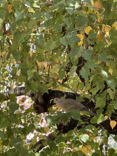
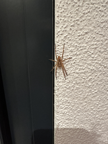
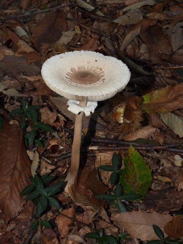
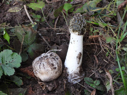
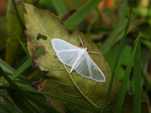
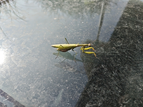
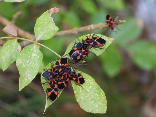
Research-grade observations from iNaturalist (within ~15 mi).
Events
Gallery
Official Identifiers
BFS — Swiss Federal Statistical Office
- BFS-Nr
- 5266
- Population (Wikidata)
- 4,591
- Wikidata
- Q67760
Gemeindenummer via Wikidata P771
Sources
- • Wikipedia
- • Wikidata
- • USGS Earthquake Catalog (global feed)
- • GBIF (Global Biodiversity Information Facility)
- • iNaturalist
- • Open-Meteo / sunrise-sunset.org
- • Wikipedia Pageviews API
- • Open Library
- • Wikidata SPARQL (CC0) — population, area, elevation, inception, head of government, Commons image
- • BFS — Swiss Federal Statistical Office — Gemeindenummer via Wikidata P771