Browse / Switzerland / Bern / Cortébert
Cortébert
Bernvillage

Cortébert
Total population
710
Demographic figures from Swiss Federal Statistical Office. Overview below cites Wikipedia and may reference a different year.
City facts
Facts from Wikidata (CC0).
Overview
Cortébert is a municipality in the Jura bernois administrative district in the canton of Bern in Switzerland. It is located in the French-speaking part of the canton in the Jura mountains.
Read more on WikipediaHistory & geography
History
Cortébert is first mentioned in 1178 as Cortaibert. In 1179 the cathedral chapters of Saint-Imier and Moutier-Grandval are listed as major land owners in Cortébert. The Seignory of Erguel held the village as a fief for the Diocese of Basel. In 1530 Biel introduced the Protestant Reformation into the parish of Corgémont which included the village of Cortébert. During the Early Modern era the village had a successful agricultural and small scale handicraft economy. A number of houses and workshops were built during the 16th through 19th century, many of which still exist in the center of the village. In 1865, the watch manufacturer Raiguel Juillard et Cie opened a factory in the village. It was later renamed Cortébert Watch & Co. The watch factory changed the entire socio-economic structure of the village. A village school opened in 1872, though it and the municipal archives were both destroyed in a fire in 1959. A train station opened in 1874, followed by a Reformed chapel in 1902. In 1938 a pumping station was built in the municipality which provided water to the villages in the Franches-Montagnes plateau. However, in the 1930s, during the Great Depression, demand for watches plummeted which devastated the municipal economy. Cortébert Watch struggled to remain in operation until 1962 when it finally closed. In the 1990s, a new industrial and shopping zone was created in the west of the village.
Geography
Cortébert has an area of . Of this area, or 49.3% is used for agricultural purposes, while or 47.7% is forested. Of the rest of the land, or 3.2% is settled (buildings or roads) and or 0.1% is unproductive land. Of the built up area, housing and buildings made up 1.4% and transportation infrastructure made up 1.4%. Out of the forested land, 42.2% of the total land area is heavily forested and 5.5% is covered with orchards or small clusters of trees. Of the agricultural land, 13.3% is used for growing crops and 9.1% is pastures and 26.8% is used for alpine pastures.
Excerpted from the corresponding Wikipedia article (CC BY-SA).
Geography
Coordinates & boundaries from the US Census TIGER/Line shapefiles.
Climate
Air quality
Walkability
Amenities nearby
Wildlife & biodiversity
Earthquake history
Photos
Sights & places nearby
Notable people from here


People born within ~10 km, from Wikidata (CC0). Click any name for their Wikipedia article.
Nearby places in Bern
- Les Reussilles2.6 mi away
- Mont-Tramelan2.8 mi away · pop. 114
- Sonceboz-Sombeval3 mi away · pop. 1,917
- Le Fuet5.1 mi away · pop. 269
- Diesse5.3 mi away · pop. 438
- La Heutte5.5 mi away · pop. 485
- Nods5.5 mi away · pop. 738
- Magglingen6.2 mi away · pop. 574
- Gaicht6.3 mi away
- Péry6.5 mi away · pop. 1,359
- Alfermée6.6 mi away
- Tüscherz6.7 mi away · pop. 307
Geography & sun
Elevation, sunrise/sunset and daylight from Open-Meteo. Solar climatology from NASA POWER.
Nearby airports
Public attention
Pageview totals from the Wikimedia Pageviews API.
Books about this place
Recent natural events nearby
Ground air-quality sensors
Recently spotted species
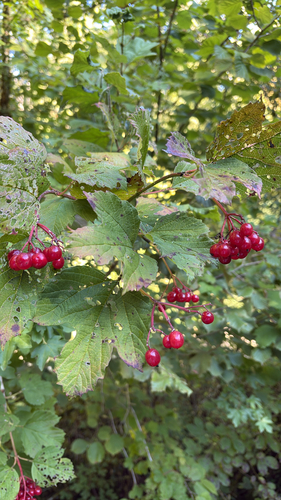
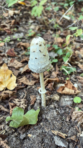
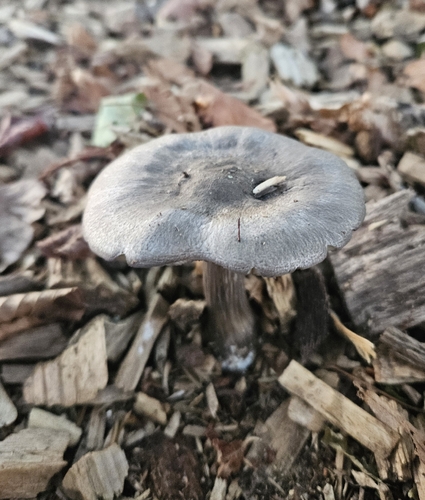
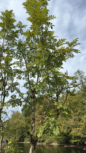
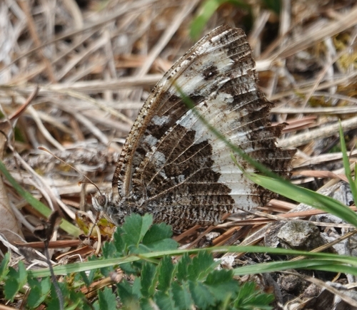
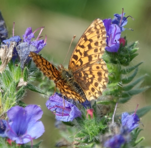
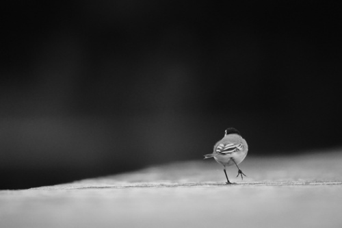
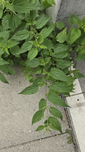
Research-grade observations from iNaturalist (within ~15 mi).
Events
Gallery
Official Identifiers
BFS — Swiss Federal Statistical Office
- BFS-Nr
- 433
- Population (Wikidata)
- 607
- Wikidata
- Q69974
Gemeindenummer via Wikidata P771
Sources
- • Wikipedia
- • Wikidata
- • iNaturalist
- • Open-Elevation
- • Open-Meteo / sunrise-sunset.org
- • Wikipedia Pageviews API
- • BFS — Swiss Federal Statistical Office — Gemeindenummer via Wikidata P771