Browse / Switzerland / Bern / Mont-Tramelan
Mont-Tramelan
Bernvillage

Mont-Tramelan
Total population
114
Demographic figures from Swiss Federal Statistical Office. Overview below cites Wikipedia and may reference a different year.
City facts
Facts from Wikidata (CC0).
Overview
Mont-Tramelan is a municipality in the Jura bernois administrative district in the canton of Bern in Switzerland. It is located in the French-speaking Bernese Jura. While the majority of the population speaks German, the German form of the municipality name, Tramlingen-Berg, is no longer used. Even though it is in the French-speaking part of the canton of Bern, there is a German public school.
Read more on WikipediaHistory & geography
History
Around 1570 the Prince-Bishop of Basel allowed Anabaptist refugees from the Emmental to settle in the seigniory of Erguel, including in the area that would become Mont-Tramelan. The farms in the area were part of the parish of Tramelan, which adopted the Reformed faith in 1530. At the beginning of the 17th Century, a family from Neuchâtel founded the community which was known as Montagnes de la paroisse de Tramelan. The earliest record of the community is from 1647 when it was known simply as la Montagne. In 1685 it was acknowledged by the Bishop. Following the 1798 French invasion, Mont-Tramelan became a commune under French rule. It remained under French authority until 1814 and in following year became part of the Canton of Bern. During the 19th century, the watch making industry flourished in the French-speaking Jura region. The majority of the francophone families of Mont-Tramelan abandoned their farms and moved to the nearby watch making towns, leaving a German-speaking majority in the villages. In 1897, the formerly private Baptist school in the village became a German-speaking public school for the municipality. A new German speaking school was built in 1953. In 1942, German became the official municipal language. This decision created a German-speaking enclave in a French-speaking district at a time when the Jurassic separatism movement was beginning to grow. In 1938 Mont-Tramelan joined the Syndicat des eaux Franches-Montagnes which built a pump station at Cortébert to supply water to the municipalities and farms of the region. Agriculture is still the main source of income of the population.
Geography
Mont-Tramelan has an area of . Of this area, or 60.0% is used for agricultural purposes, while or 38.0% is forested. Of the rest of the land, or 2.8% is settled (buildings or roads). Of the built up area, housing and buildings made up 1.1% and transportation infrastructure made up 1.7%. Out of the forested land, 29.4% of the total land area is heavily forested and 8.6% is covered with orchards or small clusters of trees. Of the agricultural land, 4.8% is used for growing crops and 52.1% is pastures and 3.0% is used for alpine pastures.
Excerpted from the corresponding Wikipedia article (CC BY-SA).
Geography
Coordinates & boundaries from the US Census TIGER/Line shapefiles.
Climate
Air quality
Walkability
Amenities nearby
Wildlife & biodiversity
Earthquake history
Photos
Sights & places nearby
Notable people from here
Nearby places in Bern
- Les Reussilles1.9 mi away
- Villeret3.7 mi away · pop. 923
- Saint-Imier4.6 mi away · pop. 5,088
- Sonceboz-Sombeval5.6 mi away · pop. 1,917
- Sonvilier6.2 mi away · pop. 1,221
- Le Fuet6.6 mi away · pop. 269
- Tavannes6.9 mi away · pop. 3,522
- Lamboing7.3 mi away · pop. 696
- Saicourt7.7 mi away · pop. 604
- Renan BE8.1 mi away · pop. 896
- Prêles8.3 mi away · pop. 897
- Saules8.3 mi away · pop. 157
Geography & sun
Elevation, sunrise/sunset and daylight from Open-Meteo. Solar climatology from NASA POWER.
Nearby airports
Public attention
Pageview totals from the Wikimedia Pageviews API.
Books about this place
Recent natural events nearby
Ground air-quality sensors
Recently spotted species
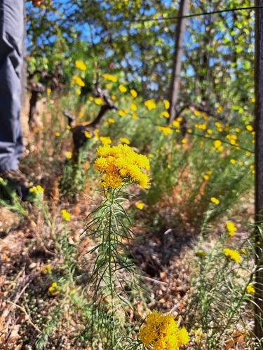
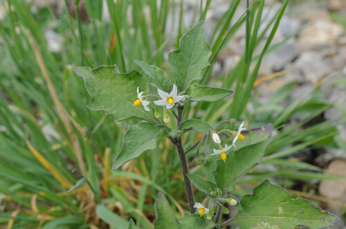
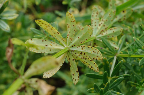
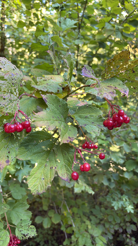
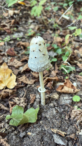
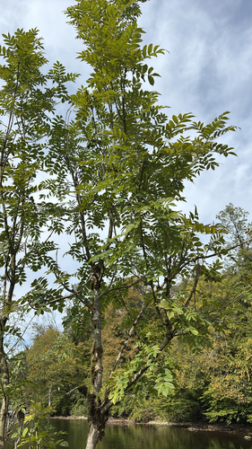
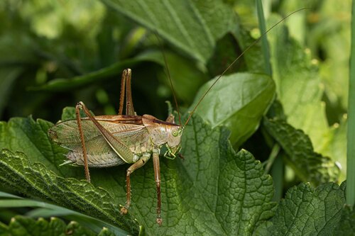
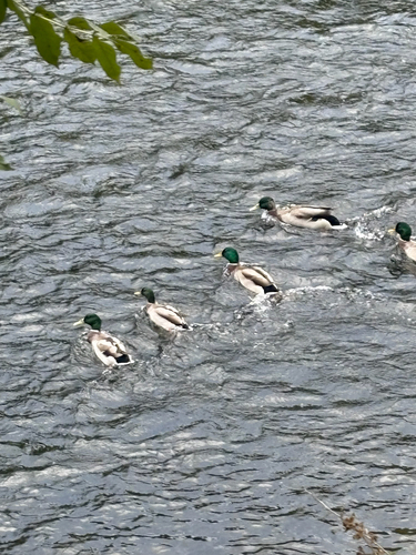
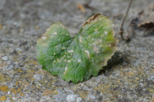
Research-grade observations from iNaturalist (within ~15 mi).
Events
Gallery
Official Identifiers
BFS — Swiss Federal Statistical Office
- BFS-Nr
- 437
- Population (Wikidata)
- 122
- Wikidata
- Q66431
Gemeindenummer via Wikidata P771
Sources
- • Wikipedia
- • Wikidata
- • iNaturalist
- • Open-Meteo / sunrise-sunset.org
- • Wikipedia Pageviews API
- • BFS — Swiss Federal Statistical Office — Gemeindenummer via Wikidata P771