Browse / Switzerland / Aargau / Gontenschwil
Gontenschwil
Aargauvillage

Gontenschwil
Total population
2,055
Demographic figures from Swiss Federal Statistical Office. Overview below cites Wikipedia and may reference a different year.
City facts
Facts from Wikidata (CC0).
Overview
Gontenschwil is a municipality in the district of Kulm in the canton of Aargau in Switzerland.
Read more on WikipediaHistory & geography
History
Gontenschwil is first mentioned in 1173 as Gundoltswilre in a grant to the monastery at Beromünster. In 1236, ownership of part of village went to Engelberg Abbey, in 1266 it transferred to the Monastery of St. Leonhard in Basel, and in 1274 to the Knights of Malta. The secular owners of the village included the Counts of Lenzburg, then in 1173 the Counts of Kyburg, in 1273 the Kyburg rights transferred to the Habsburgs. The village was ruled by the Habsburg vassals, the Counts of Reinach. By this time, the local castle is no longer mentioned. The rights to low justice remained in the hands of wealthy citizens of Gontenschwil. After the conquest of the Aargau by Bern in 1415, Gontenschwil formed its own court within the district () of Lenzburg. The church, first mentioned in 1340, was a daughter church to the parish church in nearby Pfeffikon. After a long struggle (1488–98) between Bern and Lucerne over the Protestant Reformation, the village became an independent, Reformed parish. The currently existing church was built in 1622. Economically, apart from agriculture, there are a number of small businesses. In 1640 the Schwarzenberg mineral water spring was discovered. This spring flourished from the 19th century until the First World War and was used until 1990 for the production of bottled water. In the 18th and 19th centuries the cotton spinning and weaving industries dominated. These large industries meant that Gontenschwil had the second largest population in the Kulm district. After the collapse of the mid-19th century due to a lack of hydroelectric power, tobacco processing partly replaced the cotton industry. In 1900, in a disused water mill, an aluminum foundry was built. This developed into the Menziken aluminum factory. Other local factories produce…
Geography
Gontenschwil has an area, , of . Of this area, or 60.3% is used for agricultural purposes, while or 26.0% is forested. Of the rest of the land, or 13.6% is settled (buildings or roads), or 0.5% is either rivers or lakes. Of the built up area, industrial buildings made up 1.8% of the total area while housing and buildings made up 7.1% and transportation infrastructure made up 3.6%. 24.1% of the total land area is heavily forested and 1.8% is covered with orchards or small clusters of trees. Of the agricultural land, 29.4% is used for growing crops and 26.4% is pastures, while 4.5% is used for orchards or vine crops. All the water in the municipality is in rivers and streams. The municipality is located in the Kulm district. It is located hinter der Egg or behind the left-hand side moraine that was left behind after the Reuss glacier retreated from the upper Wyne valley at the end of the last ice age. It consists of the village of Gontenschwil and the hamlets of Geisshof (that transferred from Reinach to Gontenschwil in 1901) and Hasel.
Excerpted from the corresponding Wikipedia article (CC BY-SA).
Geography
Coordinates & boundaries from the US Census TIGER/Line shapefiles.
Climate
Air quality
Walkability
Amenities nearby
Wildlife & biodiversity
Earthquake history
Photos
Sights & places nearby
Notable people from here
Nearby places in Aargau
- Leimbach AG1.1 mi away · pop. 533
- Schmiedrued2 mi away · pop. 1,219
- Reinach2.2 mi away · pop. 7,258
- Birrwil2.7 mi away · pop. 960
- Leutwil2.9 mi away · pop. 755
- Schlossrued3 mi away · pop. 903
- Dürrenäsch3.4 mi away · pop. 1,373
- Kirchleerau3.5 mi away · pop. 849
- Teufenthal4.2 mi away · pop. 1,598
- Meisterschwanden4.2 mi away · pop. 2,940
- Seengen4.7 mi away · pop. 3,955
- Fahrwangen4.8 mi away · pop. 1,653
Geography & sun
Elevation, sunrise/sunset and daylight from Open-Meteo. Solar climatology from NASA POWER.
Nearby airports
Public attention
Pageview totals from the Wikimedia Pageviews API.
Books about this place
Recent natural events nearby
Ground air-quality sensors
Recently spotted species
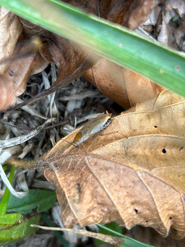

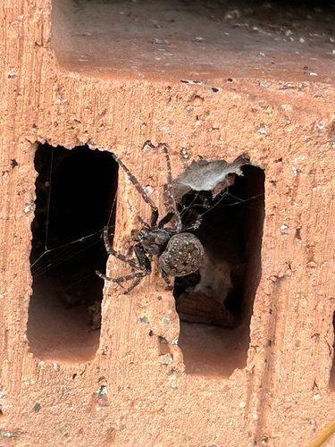
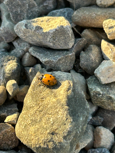
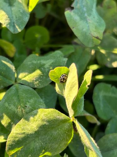
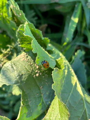
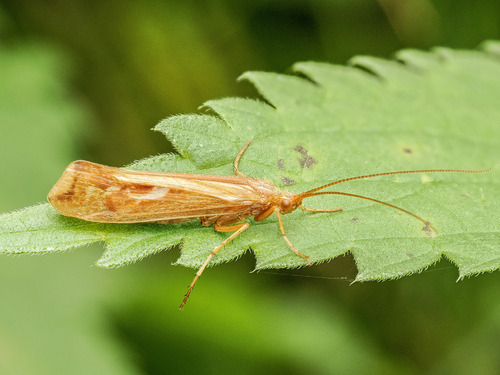
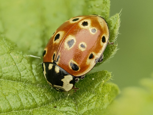
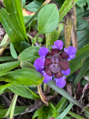
Research-grade observations from iNaturalist (within ~15 mi).
Events
Gallery
Official Identifiers
BFS — Swiss Federal Statistical Office
- BFS-Nr
- 4135
- Population (Wikidata)
- 2,171
- Wikidata
- Q65333
Gemeindenummer via Wikidata P771
Sources
- • Wikipedia
- • Wikidata
- • iNaturalist
- • Open-Elevation
- • Open-Meteo / sunrise-sunset.org
- • Wikipedia Pageviews API
- • Wikidata SPARQL (CC0) — population, area, elevation, inception, head of government, Commons image
- • BFS — Swiss Federal Statistical Office — Gemeindenummer via Wikidata P771