Browse / Switzerland / Zurich / Horgen
Horgen
Zurichtown

Horgen
Total population
22,514
Demographic figures from Swiss Federal Statistical Office. Overview below cites Wikipedia and may reference a different year.
City facts
Sister cities
Facts from Wikidata (CC0).
Overview
Horgen is a municipality in the district of Horgen in the canton of Zürich in Switzerland.
Read more on WikipediaHistory & geography
History
The oldest vestiges discovered to date come from the coastal station of Horgen-Dampfschiffsteg/Bootshabe. They were discovered during dredging of the channel in 1950, 1961 and 1973 (with additional surveys in 1973 and 1988). These excavations identified four levels of occupation, separated by lacustrine chalk sediments. The oldest level ends with a fire layer, while the next level contained a house dated by dendrochronology to 3713 BC. The ceramics of the oldest layer belong typologically to the middle Pfyn culture, while those of the upper layers belong to the late Pfyn period. Finds included clay crucibles for copper melting, weights, flint and stone tools (percussors, polishers, scrapers, millstones, axes), bone and antler tools, wooden objects (cups, axe handles, weaver's beaters), fragments of bark boxes, and red ochre. Dendrochronology attests to a distinct occupation phase between 2722 and 2695 BC (Corded Ware culture), from which some shards originate. A Bronze Age bronze hook and conical cup are also in the inventory. Horgen is the type-site of the Horgen culture (a name created by Emil Vogt in 1934), specifically the station of Horgen-Scheller. First observations date from dredging for a shipyard in 1914, with further work in 1917, 1921, 1923 and 1972. Excavations took place between 1987 and 1990. The excavations distinguished four to seven levels of the Horgen culture, with lacustrine chalk sediments indicating periods of flooding. Dendrochronological analysis of the pile fields (felling in 3051–3049, 3045–3044, 3039 and 3037 BC) revealed that there were undoubtedly two neighboring settlements occupied likely in alternation. The upper layers were rich in varied remains, including ceramics, weights, stone axes, saw traces, wooden combs, a hatchet with a bent…
Geography
Horgen has an area of . Of this area, 27.7% is used for agricultural purposes, while 49.9% is forested. Of the rest of the land, 20.4% is settled (buildings or roads) and the remainder (2%) is non-productive (rivers, glaciers or mountains). housing and buildings made up 12.5% of the total area, while transportation infrastructure made up the rest (7.9%). Of the total unproductive area, water (streams and lakes) made up 1.6% of the area. , 16% of the total municipal area was undergoing some type of construction. The large municipality stretches from the shores of Lake Zurich (elevation ), near Wädenswil over the Zimmerberg-Plateau where the decentralized village of Horgenberg is found (elevation ), though the Sihl Valley (Sihltal), to the peak of the Albis chain (elevation ). It includes the villages of Horgen, Arn and Horgenberg. Until 1773, Horgen included the now separate municipalities of Oberrieden and Hirzel. The Sihl forest (Sihlwald) became part of the city of Zürich in 1803. However the Horgen city council refused to acknowledge this until 1877.
Excerpted from the corresponding Wikipedia article (CC BY-SA).
Geography
Coordinates & boundaries from the US Census TIGER/Line shapefiles.
Climate
Air quality
Walkability
Amenities nearby
Wildlife & biodiversity
Earthquake history
Photos
Sights & places nearby
Notable people from here


People born within ~10 km, from Wikidata (CC0). Click any name for their Wikipedia article.
Nearby places in Zurich
- Oberrieden1.6 mi away · pop. 5,027
- Feldmeilen1.7 mi away
- Meilen2.1 mi away · pop. 13,515
- Herrliberg2.2 mi away · pop. 6,289
- Au2.4 mi away
- Thalwil2.8 mi away · pop. 17,729
- Erlenbach ZH3 mi away · pop. 5,542
- Sihlbrugg3.1 mi away
- Hausen am Albis3.2 mi away · pop. 3,040
- Hirzel3.2 mi away · pop. 2,185
- Ebertswil3.3 mi away
- Langnau3.4 mi away · pop. 7,449
Geography & sun
Elevation, sunrise/sunset and daylight from Open-Meteo. Solar climatology from NASA POWER.
Nearby airports
Public attention
Pageview totals from the Wikimedia Pageviews API.
Books about Horgen
Search results from Open Library.
Recent natural events nearby
Ground air-quality sensors
Recently spotted species
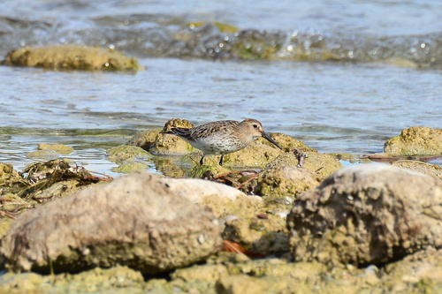
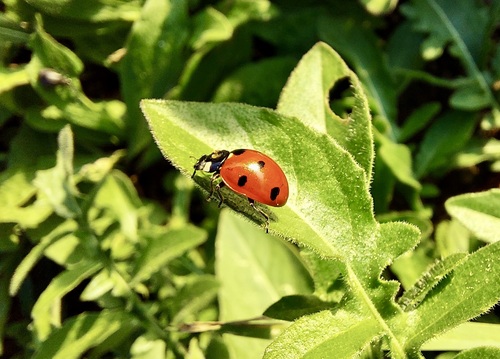
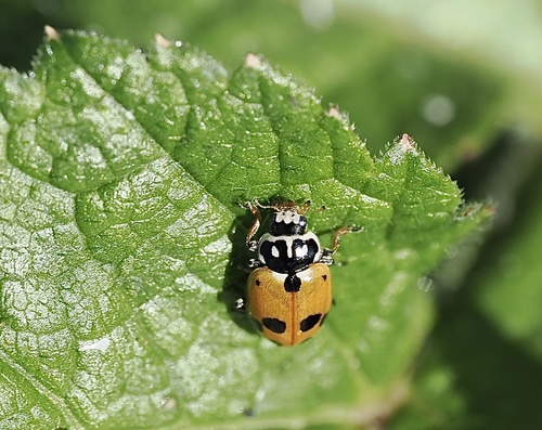
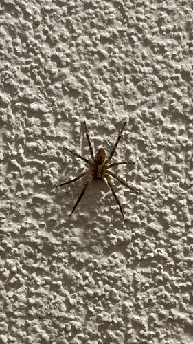
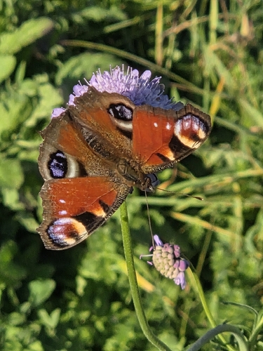
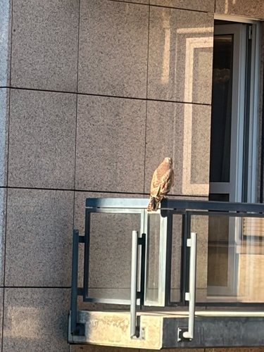
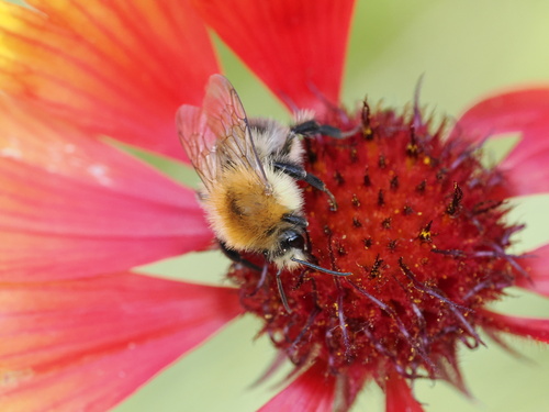
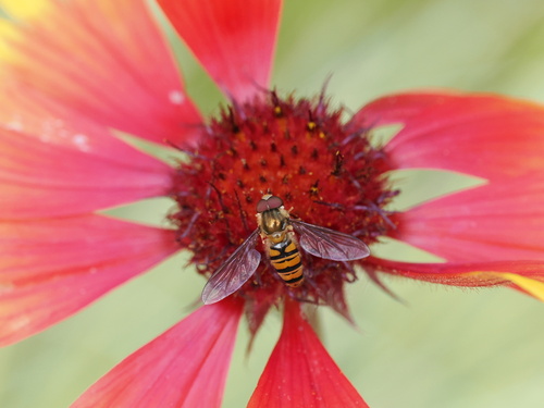
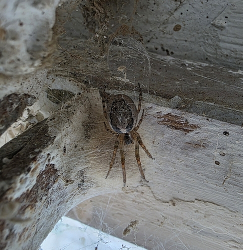
Research-grade observations from iNaturalist (within ~15 mi).
Events
Gallery
Official Identifiers
BFS — Swiss Federal Statistical Office
- BFS-Nr
- 295
- Population (Wikidata)
- 22,476
- Wikidata
- Q68286
Gemeindenummer via Wikidata P771
Sources
- • Wikipedia
- • Wikidata
- • iNaturalist
- • Open-Meteo / sunrise-sunset.org
- • Wikipedia Pageviews API
- • Open Library
- • Wikidata SPARQL (CC0) — population, area, elevation, inception, head of government, Commons image
- • BFS — Swiss Federal Statistical Office — Gemeindenummer via Wikidata P771