Browse / Switzerland / Zurich / Thalwil
Thalwil
Zurichtown

Thalwil
Total population
17,729
Demographic figures from Swiss Federal Statistical Office. Overview below cites Wikipedia and may reference a different year.
City facts
Sister cities
Facts from Wikidata (CC0).
Overview
Thalwil is a municipality and town in the district of Horgen in the canton of Zürich in Switzerland. The municipality includes two parts: Thalwil and Gattikon.
Read more on WikipediaHistory & geography
History
Thalwil is first mentioned around 1030 as Talwile villam, which is derived from Tellewilare, Tello's Farm, and indicates the early medieval origins of Thalwil as an Alemannic farmstead. Only a few graves remain from this period. In 1133, it was mentioned as Telwil. The parish of Thalwil originally comprised four Wachten (hamlets): *Ludretikon, the oldest hamlet (mentioned in 915), bordering Rüschlikon *Oberdorf (Upper Village), the area around the church *Unterdorf (Lower Village), the area roughly south of the railway station *Langnau, which separated from Thalwil around 1713 In medieval times, the economy consisted mainly of farms, vineyards as well as a small amount of fishing, crafts and shipping (on the lake). This estate was once owned by the Dukes of Habsburg and held by the Barons of Eschenbach. The Abbeys of Muri and Wettingen also had significant interests and owned 12 and 3 farms respectively. Thalwil also boasts the oldest wood corporation in the Canton of Zurich, the Bannegg-Waldung. It was first mentioned in 1483, when Muri Abbey granted it to the twelve beneficiaries of the Abbey farms in Thalwil. Today the corporation is owned by 16 members as well as by the Thalwil Gemeinde.
Geography
The municipality of Thalwil is located on the Zimmerberg ridge between the western shore of Lake Zurich and the Sihl river. It includes the town of Thalwil, on the eastern slopes of the ridge alongside the lake, and the village of Gattikon, on the westen slopes and the bank of the Sihl. Thalwil borders on the communes of Rüschlikon, Langnau am Albis, Oberrieden, Horgen and (across the lake) Erlenbach. The municipality has an area of . Of this area, 18% is used for agricultural purposes, while 23.8% is forested. Of the rest of the land, 56.1% is settled (buildings or roads) and the remainder (2.2%) is non-productive (rivers, glaciers or mountains). housing and buildings made up 42.3% of the total area, while transportation infrastructure made up the rest (13.7%). Of the total unproductive area, water (streams and lakes) made up 1.4% of the area. 51.3% of the total municipal area was undergoing some type of construction.
Excerpted from the corresponding Wikipedia article (CC BY-SA).
Geography
Coordinates & boundaries from the US Census TIGER/Line shapefiles.
Climate
Air quality
Walkability
Amenities nearby
Wildlife & biodiversity
Earthquake history
Photos
Sights & places nearby
Notable people from here
Nearby places in Zurich
- Rüschlikon1 mi away · pop. 5,664
- Oberrieden1.3 mi away · pop. 5,027
- Langnau1.3 mi away · pop. 7,449
- Kilchberg2.1 mi away · pop. 8,077
- Adliswil2.2 mi away · pop. 15,822
- Herrliberg2.3 mi away · pop. 6,289
- Horgen2.8 mi away · pop. 22,514
- Feldmeilen2.9 mi away
- Zollikon3.1 mi away · pop. 12,744
- Hausen am Albis3.8 mi away · pop. 3,040
- Zumikon3.9 mi away · pop. 5,168
- Meilen4 mi away · pop. 13,515
Geography & sun
Elevation, sunrise/sunset and daylight from Open-Meteo. Solar climatology from NASA POWER.
Nearby airports
Public attention
Pageview totals from the Wikimedia Pageviews API.
Books about Thalwil

Search results from Open Library.
Recent natural events nearby
Ground air-quality sensors
Recently spotted species
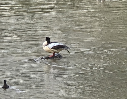
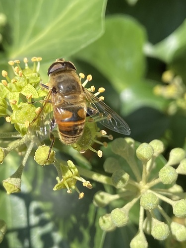
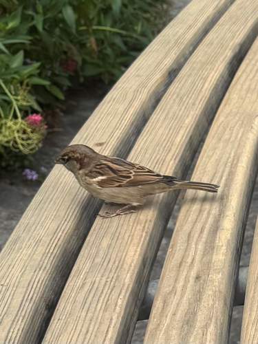
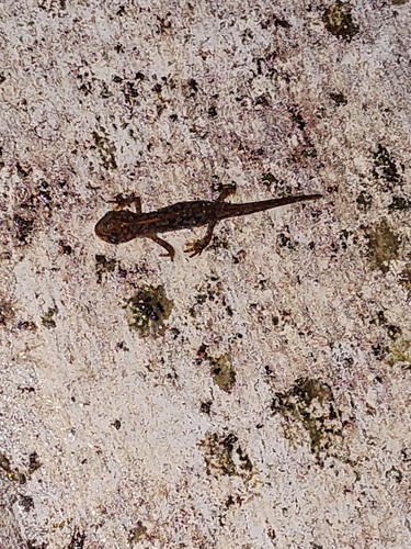
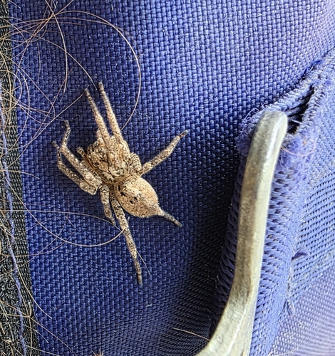
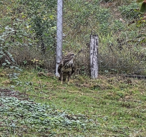
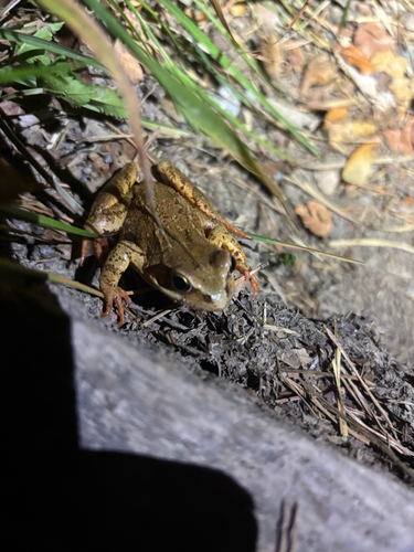
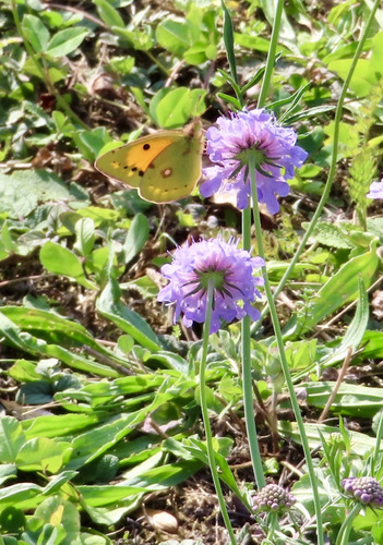
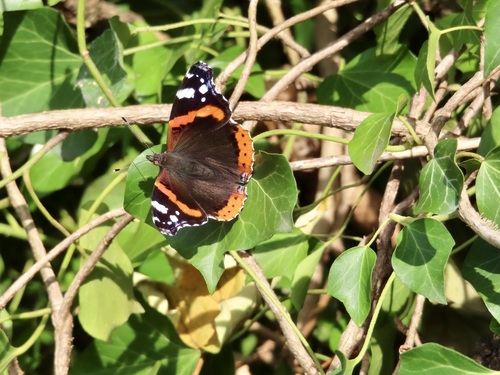
Research-grade observations from iNaturalist (within ~15 mi).
Events
Gallery
Official Identifiers
BFS — Swiss Federal Statistical Office
- BFS-Nr
- 141
- Population (Wikidata)
- 18,525
- Wikidata
- Q68959
Gemeindenummer via Wikidata P771
Sources
- • Wikipedia
- • Wikidata
- • iNaturalist
- • Open-Meteo / sunrise-sunset.org
- • Wikipedia Pageviews API
- • Open Library
- • Wikidata SPARQL (CC0) — population, area, elevation, inception, head of government, Commons image
- • BFS — Swiss Federal Statistical Office — Gemeindenummer via Wikidata P771