Browse / Switzerland / Zurich / Meilen
Meilen
Zurichtown

Meilen
Total population
13,515
Air quality index
Demographic figures from Swiss Federal Statistical Office. Overview below cites Wikipedia and may reference a different year.
City facts
Sister cities
Facts from Wikidata (CC0).
Overview
Meilen is a municipality in the district of Meilen in the canton of Zürich in Switzerland.
Read more on WikipediaHistory & geography
History
Archaeological finds in Meilen date back more than 4,000 years. In January 1854 the level of lake Zürich was particularly low and the locals took the chance to reclaim some land. During this undertaking prehistoric objects from the Pfyn, Horgen and early Bronze Age cultures were unearthed providing clear evidence of early settlement. The locals also unearthed coins from Roman times (1st to 3rd century AD). One of the Roman roads connected Turicum (Zürich) with places up to Chur and passed by Meilen. Many findings were discovered during more recent road construction. Parts of Meilen were possessions of monasteries, including the monastery of St. Gallen, the ones of Einsiedeln and Säckingen, or the more local Grossmünster of Zürich. Meilen is first mentioned between 820 and 880 as Meilana. The town's coat of arms shows two castle towers which represent the castle of Friedberg, the local castle. The castle was built around 1200 but was extended in the 14th century. Some remains are still visible, including the fountain which reaches down 29 metres. Wine making in Meilen dates back for centuries. In 1384 Meilen became a bailiwick of Zürich. Thanks to the reeve Meilen enjoyed relative autonomy until 1798. Since the Middle Ages local trade and handicraft was established in Meilen. There were at least four mills to support the local agriculture. Towards the end of the 18th century, industrialisation arrived in Meilen in form of textiles, but this form of production disappeared in the 19th century. With the arrival of the railway in 1894 local trade and industry blossomed. The ferry to Horgen was opened in 1933.
Geography
Meilen has an area of . Of this area, 46.9% is used for agricultural purposes, 24.4% is forested, 27.2% is settled (buildings or roads) and the remainder (1.4%) is non-productive (rivers, glaciers or mountains). housing and buildings made up 21.4% of the total area, while transportation infrastructure made up the rest (5.8%). Of the total unproductive area, water (streams and lakes) made up 0.2% of the area. 26.5% of the total municipal area was undergoing some type of construction. It is located on the north bank of the lake of Zürich. Meilen is located about halfway between Zürich and Rapperswil. Meilen is connected to Horgen across the lake by ferry. In the local dialect it is called Meile. The town is divided into four districts (Wachten), namely Feldmeilen, Dorfmeilen and Obermeilen along the lake side, as well as Bergmeilen towards the Mt. Pfannenstiel. The districts used to be more autonomous, but today the division is only used for schooling purposes.
Excerpted from the corresponding Wikipedia article (CC BY-SA).
Geography
Coordinates & boundaries from the US Census TIGER/Line shapefiles.
Climate
Air quality
Current readings from Open-Meteo Air Quality API (Copernicus CAMS European reanalysis).
Walkability
Amenities nearby
Wildlife & biodiversity
Most-observed species
- European roe deerCapreolus capreolus (Linnaeus, 1758) · Mammalia31,510
- Annual FleabaneErigeron annuus (L.) Pers. · Magnoliopsida21,246
- Meadow BrownManiola jurtina (Linnaeus, 1758) · Insecta17,285
- red foxVulpes vulpes (Linnaeus, 1758) · Mammalia16,337
- Common BluePolyommatus icarus (von Rottemburg, 1775) · Insecta11,406
- Narrow-leaved RagwortSenecio inaequidens DC. · Magnoliopsida7,590
- hedgehogErinaceus europaeus Linnaeus, 1758 · Mammalia7,433
- Cherry LaurelPrunus laurocerasus L. · Magnoliopsida7,167
Citizen-science & research observations from the Global Biodiversity Information Facility (GBIF).
Earthquake history
Most recent
- M 4.2 — 2026-04-264 km NNW of Quarten, Switzerland
- M 3.5 — 2024-06-271 km SSW of Todtmoos, Germany
- M 4.2 — 2024-06-042 km NNW of Unteriberg, Switzerland
- M 3.8 — 2022-09-012 km WSW of Sevelen, Switzerland
- M 4 — 2020-10-255 km ESE of Ennenda, Switzerland
- M 3.1 — 2018-05-042 km W of Schliengen, Germany
Events from the USGS Earthquake Catalog (global) (FDSN Event Web Service).
Photos
Sights & places nearby
Notable people from here


People born within ~10 km, from Wikidata (CC0). Click any name for their Wikipedia article.
Nearby places in Zurich
- Feldmeilen1.1 mi away
- Au1.8 mi away
- Herrliberg1.9 mi away · pop. 6,289
- Horgen2.1 mi away · pop. 22,514
- Männedorf2.7 mi away · pop. 10,588
- Egg3 mi away · pop. 7,455
- Oberrieden3.1 mi away · pop. 5,027
- Wädenswil3.2 mi away · pop. 24,341
- Erlenbach ZH3.3 mi away · pop. 5,542
- Oetwil am See3.8 mi away · pop. 4,375
- Forch3.8 mi away
- Thalwil4 mi away · pop. 17,729
Geography & sun
Elevation, sunrise/sunset and daylight from Open-Meteo. Solar climatology from NASA POWER.
Nearby airports
Public attention
Pageview totals from the Wikimedia Pageviews API.
Books about Meilen


Search results from Open Library.
Recent natural events nearby
Ground air-quality sensors
Recently spotted species
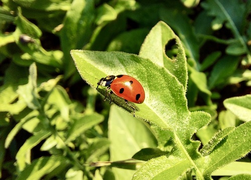
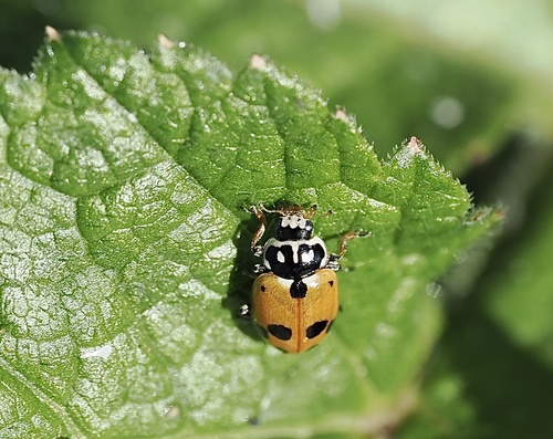
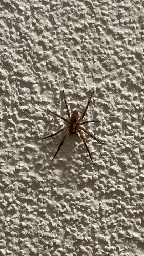
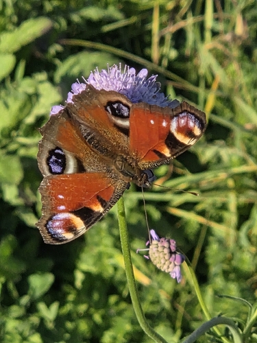
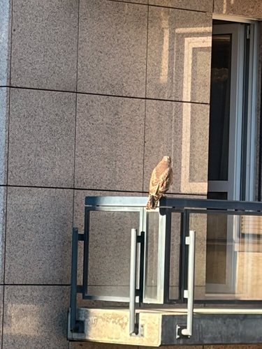
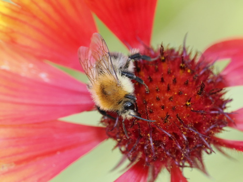
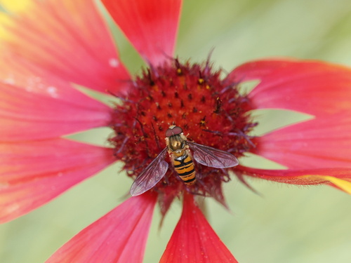
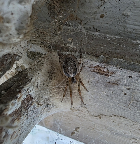
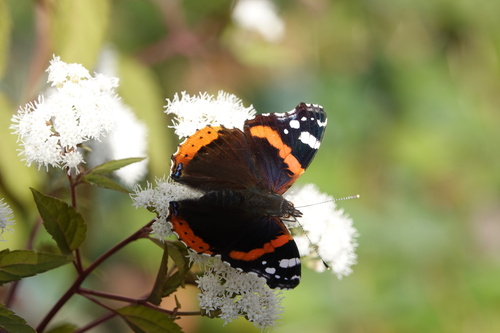
Research-grade observations from iNaturalist (within ~15 mi).
Events
Gallery
Geotagged photos within ~6 miles of Meilen, from Wikimedia Commons contributors.
 0.1 mi
 0.1 mi
 0.1 mi
 0.2 mi
 0.2 mi
 0.2 mi
 0.2 mi
 0.2 mi
 0.2 mi
 0.2 mi
 0.2 mi
 0.2 mi
 0.2 mi
 0.2 mi
 0.2 mi
 0.2 mi
 0.2 mi
 0.2 mi
 0.2 mi
 0.2 mi
 0.2 mi
 0.2 mi
 0.2 mi
 0.2 mi
Photos via Wikimedia Commons — see each image page for license & attribution.
Official Identifiers
BFS — Swiss Federal Statistical Office
- BFS-Nr
- 156
- Population (Wikidata)
- 13,999
- Wikidata
- Q68261
Gemeindenummer via Wikidata P771
Sources
- • Wikipedia
- • Wikimedia Commons
- • Wikidata
- • Open-Meteo Air Quality (CAMS)
- • USGS Earthquake Catalog (global feed)
- • GBIF (Global Biodiversity Information Facility)
- • iNaturalist
- • Open-Elevation
- • Open-Meteo / sunrise-sunset.org
- • Wikipedia Pageviews API
- • Open Library
- • Wikidata SPARQL (CC0) — population, area, elevation, inception, head of government, Commons image
- • BFS — Swiss Federal Statistical Office — Gemeindenummer via Wikidata P771