Browse / Switzerland / Zurich / Männedorf
Männedorf
Zurichtown

Männedorf
Total population
10,588
Demographic figures from Swiss Federal Statistical Office. Overview below cites Wikipedia and may reference a different year.
City facts
Facts from Wikidata (CC0).
Overview
Männedorf is a municipality in the district of Meilen in the canton of Zürich in Switzerland.
Read more on WikipediaHistory & geography
History
Like in all other villages along the lake of Zürich, archeological findings indicate settlements in the stone ages. The original settlement dates from the 7th or 8th century; the name Mannidorf ("Village of Manno", a personal name, possibly of a nobleman) is mentioned in 933. The village originally housed fishermen, farmers and winegrowers. Männedorf was once owned by the monastery of Pfäfers. It later developed to become the home of the bailiwick of Zürich from 1405 until 1798. After the opening of the Lake Zurich right bank railway from Zürich to Rapperswil in 1894 the village blossomed. Many businesses of handicraft, trade and industry were established. Most notably probably a tannery, organ-building and precision mechanics. There was also a mill, a smithy, a public bath and a growing number of guesthouses. By today Männedorf has become part of the Zürich agglomeration like all the villages in the region.
Geography
Männedorf has an area of . Of this area, 34.1% is used for agricultural purposes, while 24.8% is forested. Of the rest of the land, 40.6% is settled (buildings or roads) and the remainder (0.4%) is non-productive (rivers, glaciers or mountains). In the local dialect it is called Männidorf.
Excerpted from the corresponding Wikipedia article (CC BY-SA).
Geography
Coordinates & boundaries from the US Census TIGER/Line shapefiles.
Climate
Air quality
Walkability
Amenities nearby
Wildlife & biodiversity
Earthquake history
Photos
Sights & places nearby
Notable people from here


People born within ~10 km, from Wikidata (CC0). Click any name for their Wikipedia article.
Nearby places in Zurich
- Oetwil am See1.8 mi away · pop. 4,375
- Wädenswil2 mi away · pop. 24,341
- Stäfa2.2 mi away · pop. 11,567
- Au2.3 mi away
- Meilen2.7 mi away · pop. 13,515
- Richterswil3.1 mi away · pop. 13,022
- Egg3.2 mi away · pop. 7,455
- Ürikon3.3 mi away
- Grüningen3.8 mi away · pop. 3,092
- Feldmeilen3.8 mi away
- Horgen4.4 mi away · pop. 22,514
- Feldbach4.5 mi away
Geography & sun
Elevation, sunrise/sunset and daylight from Open-Meteo. Solar climatology from NASA POWER.
Nearby airports
Public attention
Pageview totals from the Wikimedia Pageviews API.
Books about Männedorf
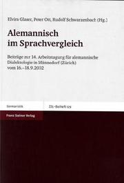
Search results from Open Library.
Recent natural events nearby
Ground air-quality sensors
Recently spotted species
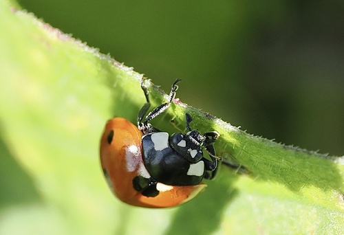
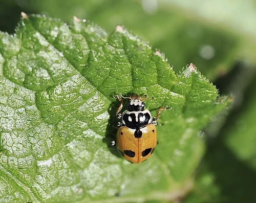
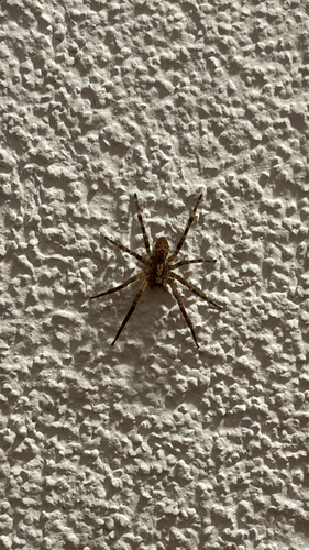
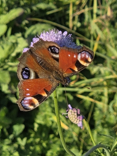
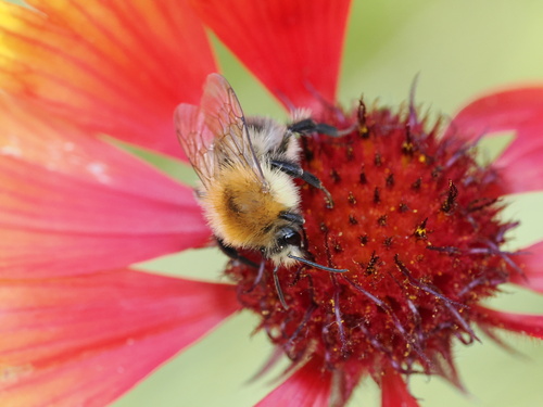
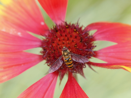
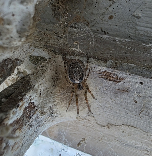
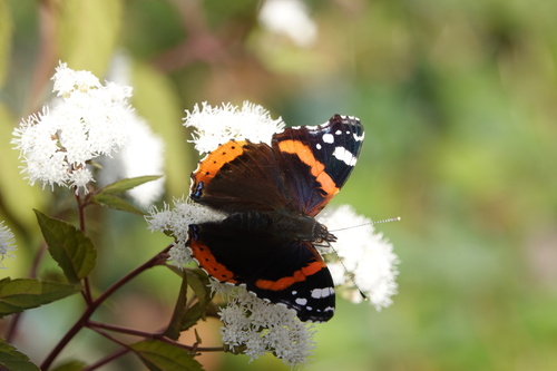
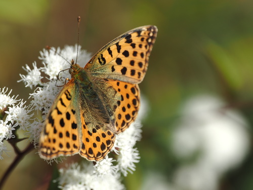
Research-grade observations from iNaturalist (within ~15 mi).
Events
Gallery
Official Identifiers
BFS — Swiss Federal Statistical Office
- BFS-Nr
- 155
- Population (Wikidata)
- 10,913
- Wikidata
- Q64627
Gemeindenummer via Wikidata P771
Sources
- • Wikipedia
- • Wikidata
- • iNaturalist
- • Open-Meteo / sunrise-sunset.org
- • Wikipedia Pageviews API
- • Open Library
- • Wikidata SPARQL (CC0) — population, area, elevation, inception, head of government, Commons image
- • BFS — Swiss Federal Statistical Office — Gemeindenummer via Wikidata P771