Browse / Switzerland / Aargau / Kaiseraugst
Kaiseraugst
Aargauvillage

Kaiseraugst
Total population
5,576
Demographic figures from Swiss Federal Statistical Office. Overview below cites Wikipedia and may reference a different year.
City facts
Facts from Wikidata (CC0).
Overview
Kaiseraugst is a municipality in the district of Rheinfelden in the canton of Aargau in Switzerland. Located on the High Rhine, it is part of the Basel metropolitan region and borders Germany and the canton of Basel-Landschaft. It is named after the Ancient Roman city of Augusta Raurica whose ruins are nearby. The prefix Kaiser- ("imperial") refers to the fact that from medieval times the town formed part of the Habsburg territory of Further Austria, as opposed to the neighbouring village of Augst, which was part of the Canton of Basel in the Old Swiss Confederacy.
Read more on WikipediaHistory & geography
History
Kaiseraugst’s origins trace to the Roman city of Augusta Raurica, established around 45 BC by the Raurici tribe and Roman authorities, making it Switzerland’s oldest Roman settlement. Around AD 100, a lower town developed on the Rhine, within modern Kaiseraugst, featuring a river port, artisan quarters, and commercial facilities. After the Alamanni destroyed Augusta Raurica’s upper town around 273–274, and the loss of the Limes Germanicus and the right bank of the Rhine, the Roman army built Castrum Rauracense, a fort in the lower town, around AD 300 to protect a ford over the Rhine and serve as headquarters of the legio I Martia. Following the collapse of the Roman Empire the fort remained occupied as local Germanic tribes moved in. The fort and neighboring church became the seat of a bishop during the 4th century, with the bishop first being mentioned in 346. In the early 1960s, the Kaiseraugst nuclear power plant construction project was met with strong opposition from the population, who occupied the site in 1975. After the Chernobyl disaster, the Swiss government and Kaiseraugst Nuclear Energy AG agreed to abandon the project.
Geography
Kaiseraugst has an area, , of . Of this area, or 20.2% is used for agricultural purposes, while or 32.2% is forested. Of the rest of the land, or 40.9% is settled (buildings or roads), or 6.5% is either rivers or lakes and or 0.4% is unproductive land. Of the built up area, industrial buildings made up 7.5% of the total area while housing and buildings made up 11.8% and transportation infrastructure made up 14.7%. Power and water infrastructure as well as other special developed areas made up 4.3% of the area while parks, green belts and sports fields made up 2.6%. Out of the forested land, 30.8% of the total land area is heavily forested and 1.4% is covered with orchards or small clusters of trees. Of the agricultural land, 13.6% is used for growing crops and 4.1% is pastures, while 2.4% is used for orchards or vine crops. All the water in the municipality is in rivers and streams. The municipality is located in the Rheinfelden district, along the Rhine river.
Excerpted from the corresponding Wikipedia article (CC BY-SA).
Geography
Coordinates & boundaries from the US Census TIGER/Line shapefiles.
Climate
Air quality
Walkability
Amenities nearby
Wildlife & biodiversity
Most-observed species
- Great TitParus major Linnaeus, 1758 · Aves11,119
- Carrion CrowCorvus corone Linnaeus, 1758 · Aves10,335
- Eurasian BlackbirdTurdus merula Linnaeus, 1758 · Aves10,271
- House SparrowPasser domesticus (Linnaeus, 1758) · Aves9,778
- Yellow-legged hornetVespa velutina Lepeletier, 1836 · Insecta8,951
- Eurasian Blue TitCyanistes caeruleus (Linnaeus, 1758) · Aves8,612
- Common Wood-PigeonColumba palumbus Linnaeus, 1758 · Aves8,178
- Common ChaffinchFringilla coelebs Linnaeus, 1758 · Aves6,310
Citizen-science & research observations from the Global Biodiversity Information Facility (GBIF).
Earthquake history
Most recent
- M 3.5 — 2024-06-271 km SSW of Todtmoos, Germany
- M 4.2 — 2024-06-042 km NNW of Unteriberg, Switzerland
- M 4.4 — 2023-03-221 km NW of Pont-de-Roide, France
- M 3.9 — 2022-09-101 km WSW of Zimmersheim, France
- M 4.1 — 2021-12-242 km WSW of Blamont, France
- M 3.1 — 2018-05-042 km W of Schliengen, Germany
Events from the USGS Earthquake Catalog (global) (FDSN Event Web Service).
Photos
Sights & places nearby
Notable people from here


People born within ~10 km, from Wikidata (CC0). Click any name for their Wikipedia article.
Nearby places in Aargau
- Olsberg3.1 mi away · pop. 359
- Magden4.2 mi away · pop. 3,934
- Möhlin5.8 mi away · pop. 11,006
- Zuzgen8.3 mi away · pop. 886
- Mumpf9.2 mi away · pop. 1,431
- Hellikon9.7 mi away · pop. 788
- Obermumpf10.1 mi away · pop. 1,040
- Wegenstetten10.2 mi away · pop. 1,075
- Münchwilen11.2 mi away · pop. 936
- Schupfart11.5 mi away · pop. 825
- Sisseln12.5 mi away · pop. 1,585
- Wittnau12.5 mi away · pop. 1,320
Geography & sun
Elevation, sunrise/sunset and daylight from Open-Meteo. Solar climatology from NASA POWER.
Nearby airports
Public attention
Pageview totals from the Wikimedia Pageviews API.
Books about Kaiseraugst
Search results from Open Library.
Recent natural events nearby
Ground air-quality sensors
Recently spotted species
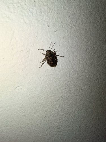
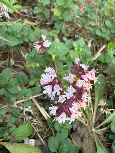
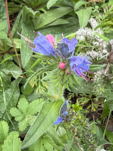
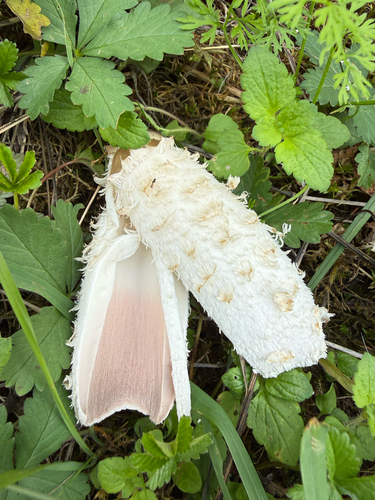
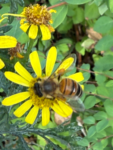
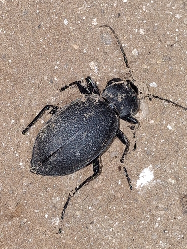
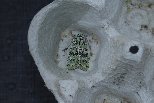
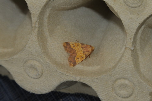
Research-grade observations from iNaturalist (within ~15 mi).
Events
Gallery
Official Identifiers
BFS — Swiss Federal Statistical Office
- BFS-Nr
- 4252
- Population (Wikidata)
- 5,576
- Wikidata
- Q69048
Gemeindenummer via Wikidata P771
Sources
- • Wikipedia
- • Wikidata
- • USGS Earthquake Catalog (global feed)
- • GBIF (Global Biodiversity Information Facility)
- • iNaturalist
- • Open-Meteo / sunrise-sunset.org
- • Wikipedia Pageviews API
- • Open Library
- • Wikidata SPARQL (CC0) — population, area, elevation, inception, head of government, Commons image
- • BFS — Swiss Federal Statistical Office — Gemeindenummer via Wikidata P771