Browse / Switzerland / Bern / Köniz
Köniz
Berntown

Köniz
Total population
39,794
Demographic figures from Swiss Federal Statistical Office. Overview below cites Wikipedia and may reference a different year.
City facts
Sister cities
Facts from Wikidata (CC0).
Overview
Köniz is a town and a municipality in the Bern-Mittelland administrative district right on the southern border to Bern in the canton of Bern in Switzerland. The municipality of Köniz as a single settlement would belong to the 15 most populous towns in Switzerland. It is also part of the larger agglomeration of Bern of about 400,000 inhabitants.
Read more on WikipediaHistory & geography
History
The current municipality has long been inhabited; there have been a number of Bronze- and Iron Age finds, as well as Roman villas (villae rusticae) and Early Middle Ages graveyards. The oldest parts of the current reformed parish church (formerly SS. Peter and Paul) date back to around 1100. There may have been other previous buildings on this site, but archaeological digs have uncovered no evidence of them thus far. Köniz is first mentioned in 1011 as Chunicis. According to legend the church was founded by Burgundian King Rudolph II and his wife Bertha. The parish did not only comprise the current municipality, but also the area around present day Bern, around 5 km away. In 1191 it became the parish church of the newly founded town, until it was given the status of its own parish in 1276. There was an Augustinian monastery at the church, which was given to the Teutonic Knights by King Heinrich VII, the son and heir to the Holy Roman Emperor Friedrich II, in 1226. The order established a commendam at the church, which belonged to the Ballei of , as well as a settlement in Bern. One of the friars was installed as parish priest. With the growth of the parish of Bern, the settlement there was raised to commendam status, whose principle was the parish priest in Bern. The Köniz commendam was secularised in 1528 during the Bernese Reformation, but was given back to the Order in 1552 after pressure from the Catholic Cantons. In 1729 the Order sold the commendam to Bern. A bailiwick was established, which existed until the collapse of the old Bern in 1798. The municipality of Köniz in its present form, came into being in 1846.
Geography
Köniz has an area of . Of this area, or 50.5% is used for agricultural purposes, while or 30.8% is forested. Of the rest of the land, or 18.4% is settled (buildings or roads), or 0.3% is either rivers or lakes and or 0.0% is unproductive land. Of the built up area, industrial buildings made up 1.2% of the total area while housing and buildings made up 10.7% and transportation infrastructure made up 4.8%. while parks, green belts and sports fields made up 1.1%. Out of the forested land, 29.5% of the total land area is heavily forested and 1.4% is covered with orchards or small clusters of trees. Of the agricultural land, 31.2% is used for growing crops and 18.0% is pastures, while 1.4% is used for orchards or vine crops. All the water in the municipality is flowing water. The municipality is located in the agglomeration of Bern. It stretches from the river Aare in the north-east to the rivers Schwarzwasser and Sense in the southeast. It consists of the village of Köniz and Wabern in the center, the garden towns of Liebefeld am Könizberg and Spiegel am Gurten as well as a number of other settlements including; Niederwangen, Oberwangen and Thörishaus in the Wangen valley as well as Schliern, Schwanden, Niederscherli and Oberscherli, Mittelhäusern und Gasel in the Upper Municipality.
Excerpted from the corresponding Wikipedia article (CC BY-SA).
Geography
Coordinates & boundaries from the US Census TIGER/Line shapefiles.
Climate
Air quality
Walkability
Amenities nearby
Wildlife & biodiversity
Earthquake history
Photos
Sights & places nearby
Notable people from here


People born within ~10 km, from Wikidata (CC0). Click any name for their Wikipedia article.
Nearby places in Bern
- Bern2.6 mi away · pop. 128,848
- Englisberg3.2 mi away
- Oberbalm3.4 mi away · pop. 835
- Hinterkappelen3.6 mi away
- Herrenschwanden3.8 mi away
- Bremgarten3.9 mi away · pop. 4,329
- Zimmerwald4 mi away
- Frauenkappelen4.2 mi away · pop. 1,234
- Ostermundigen4.4 mi away · pop. 16,185
- Gümligen4.7 mi away
- Uettligen4.7 mi away
- Niedermuhlern4.9 mi away · pop. 471
Geography & sun
Elevation, sunrise/sunset and daylight from Open-Meteo. Solar climatology from NASA POWER.
Nearby airports
Public attention
Pageview totals from the Wikimedia Pageviews API.
Books about Köniz

Search results from Open Library.
Recent natural events nearby
Ground air-quality sensors
Recently spotted species
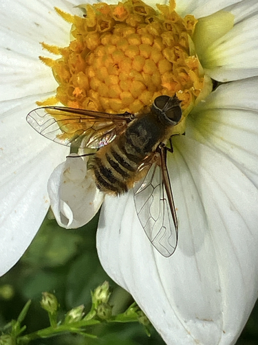
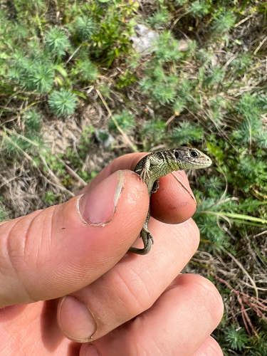
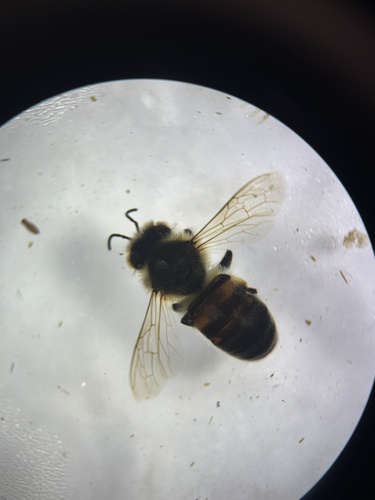
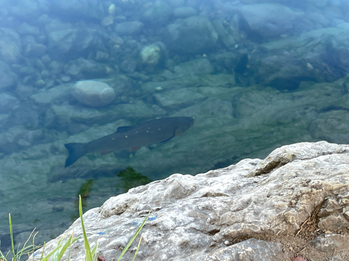
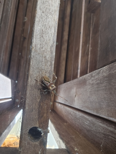
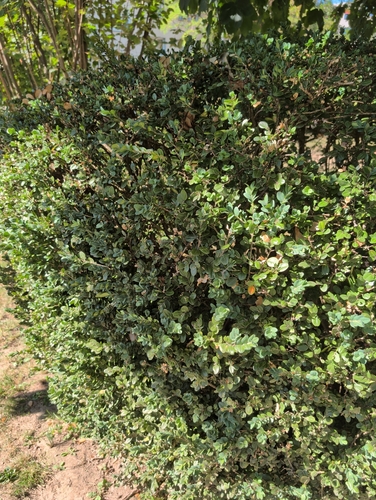
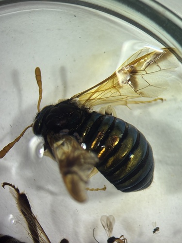

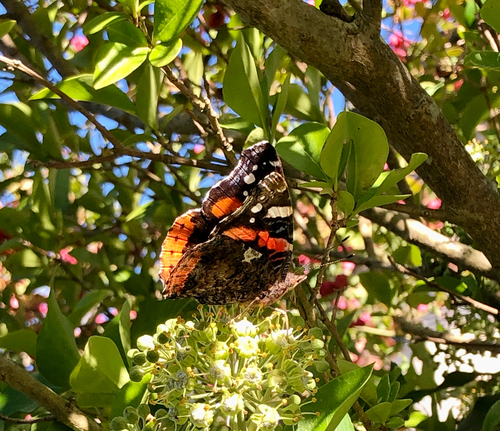
Research-grade observations from iNaturalist (within ~15 mi).
Events
Gallery
Official Identifiers
BFS — Swiss Federal Statistical Office
- BFS-Nr
- 355
- Population (Wikidata)
- 42,958
- Wikidata
- Q64058
Gemeindenummer via Wikidata P771
Sources
- • Wikipedia
- • Wikidata
- • iNaturalist
- • Open-Meteo / sunrise-sunset.org
- • Wikipedia Pageviews API
- • Open Library
- • Wikidata SPARQL (CC0) — population, area, elevation, inception, head of government, Commons image
- • BFS — Swiss Federal Statistical Office — Gemeindenummer via Wikidata P771