Browse / Switzerland / Ticino / Lavizzara
Lavizzara
Ticinovillage

Lavizzara
Total population
487
Demographic figures from Swiss Federal Statistical Office. Overview below cites Wikipedia and may reference a different year.
City facts
Facts from Wikidata (CC0).
Overview
Lavizzara is a municipality in the district of Vallemaggia in the canton of Ticino in Switzerland. It is the only municipality in the valley.
Read more on WikipediaHistory & geography
History
Broglio is first mentioned in 1361 as Brono. Brontallo is first mentioned in 1574 as Bruntalo. Fusio is first mentioned in 1258 as Fuxio. Menzonio is first mentioned in 1364 as Menzone. Peccia is first mentioned in 1374 as Petia. Prato and Sornico were first mentioned in 1374. The existing village area has developed in several stages. It was created in 1374, when the valley (comunità) Lavizzara broke up and divided its lands. At the end of the 16th century, it grew again through a series of agreements between the neighboring communities. The Church of S. Maria Lauretana was dedicated in 1487. In the following centuries, it was repeatedly rebuilt and restored. It belonged to the Sornico parish until 1616, when it became an independent parish. The historically significant building, Casa Pometta, is from the 17th century. The highest population in the village was during the 17th century. The slow population decline intensified in the late 19th century with emigration to the cities and to other countries. In 1990, agriculture and livestock, which for centuries were the main sources of income, employed about a third of the workforce. In recent decades, the number of vacation homes has increased markedly. Until the beginning of the 15th century, it formed a community with Menzonio and together with Bignasco and Cavergno it formed a Vicinanza. The Church of S. Maria e S. Giorgio was first mentioned in the 15th century. In the 16th century it was rebuilt, and then renovated several times thereafter. Until 1513 it, along with Menzonio, was part of the parish of Cevio. In 1513 Menzonio broke away from Cevio, but Brontallo remained part of the parish until 1655. The greatest population was during the 17th century. The population decline began in the 18th…
Geography
Lavizzara has an area, , of . Of this area, or 1.0% is used for agricultural purposes, while or 30.2% is forested. Of the rest of the land, or 0.7% is settled (buildings or roads), or 2.3% is either rivers or lakes and or 51.6% is unproductive land. Of the built up area, housing and buildings made up 0.2% and transportation infrastructure made up 0.3%. Out of the forested land, 20.5% of the total land area is heavily forested and 4.7% is covered with orchards or small clusters of trees. Of the agricultural land, 0.7% is used for growing crops. Of the water in the municipality, 1.2% is in lakes and 1.1% is in rivers and streams. Of the unproductive areas, 22.6% is unproductive vegetation and 28.9% is too rocky for vegetation.
Excerpted from the corresponding Wikipedia article (CC BY-SA).
Geography
Coordinates & boundaries from the US Census TIGER/Line shapefiles.
Climate
Air quality
Walkability
Amenities nearby
Wildlife & biodiversity
Earthquake history
Photos
Sights & places nearby
Notable people from here


People born within ~10 km, from Wikidata (CC0). Click any name for their Wikipedia article.
Nearby places in Ticino
Geography & sun
Nearby airports
Public attention
Books about this place
Recent natural events nearby
Ground air-quality sensors
Recently spotted species
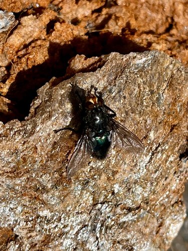
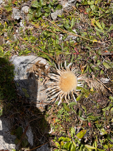
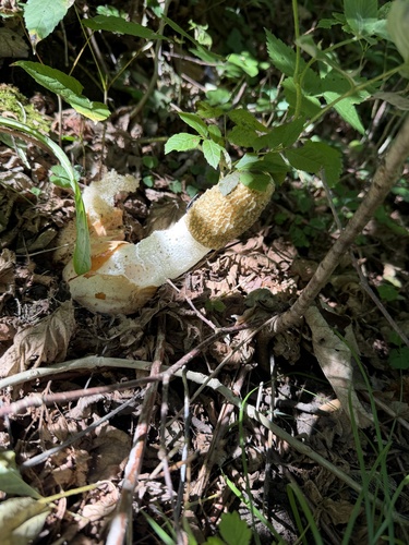
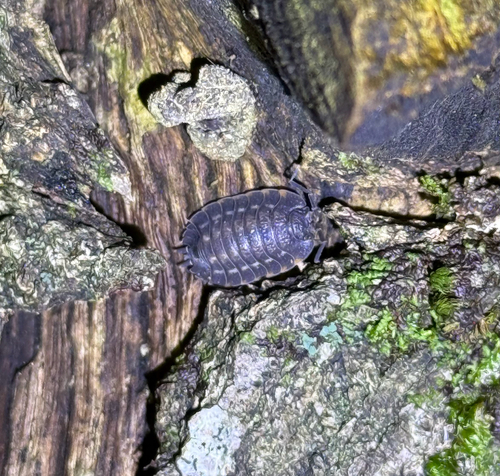
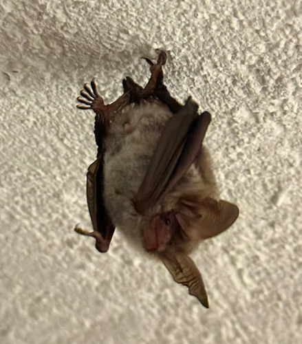
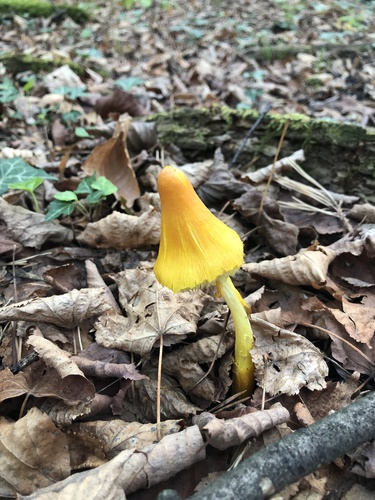
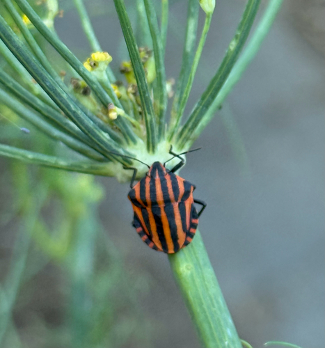
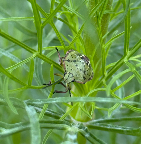
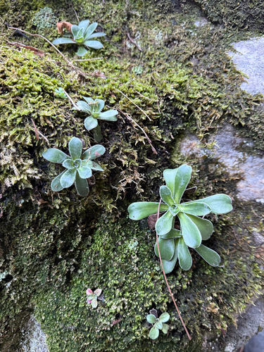
Research-grade observations from iNaturalist (within ~15 mi).
Events
Gallery
Official Identifiers
BFS — Swiss Federal Statistical Office
- BFS-Nr
- 5323
- Population (Wikidata)
- 509
- Wikidata
- Q68005
Gemeindenummer via Wikidata P771
Sources
- • Wikipedia
- • Wikidata
- • iNaturalist
- • BFS — Swiss Federal Statistical Office — Gemeindenummer via Wikidata P771