Browse / Switzerland / Vaud / Lutry
Lutry
Vaudtown

Lutry
Total population
9,571
Demographic figures from Swiss Federal Statistical Office. Overview below cites Wikipedia and may reference a different year.
City facts
Sister cities
Facts from Wikidata (CC0).
Overview
Lutry is a municipality in the Swiss canton of Vaud, located in the Lavaux-Oron, which includes the Lavaux region, a UNESCO World Heritage site.
Read more on WikipediaHistory & geography
History
Lutry is first mentioned in 908 as in Lustraco villam. In 1124 it was mentioned as monasterium Sancti Martini cum villa quae dicitur Lustriacus and in 1147 it was Lustriey. In August 1984, during the construction of the underground car park in La Possession, an arrangement of 24 standing stones (menhir) were discovered. 18 of the stones were re-erected next to it in the original formation. The thirteen large standing stones ( high) were arranged in a line, while the eleven subsequent smaller stones (from high) described a curve to the south. The standing stones are traditionally assigned to the beginning of the middle Neolithic period. However local pottery indicates a later date, to the late Neolithic or early Bronze Age. Menhir No. 14 is a figurative stele, in which geometric ornamentation (x-shaped lines, balanced circles, zigzag line) were carved. Similar symbols can also be found on standing stones in southern France, but their meaning is unknown. Lutry began to become a town at the beginning of the 13th century when it was encircled by a circular wall created by the Bishop (1212–19). The wall was supported by a square tower, the Tour de l'Eveque, which was built by William of Ecublens in 1221–29. The hamlets Curtinaux, Savuit, Le Châtelard and Corsy as well as the neighborhoods of Friporte, Voisinand and Bourg Neuf were outside the walls, and soon a second curtain wall was built around the latter. In 1291 there was a hospital in the priory and in 1348 another one was built in the town. With the construction of an inner harbor, market buildings were created in 1408. At the instigation of the monks, a vineyard was placed around the town. An organization known as the Brotherhood of the Holy Spirit, in 1307, marked the beginning of a civic…
Geography
Lutry has an area, , of . Of this area, or 43.4% is used for agricultural purposes, while or 20.0% is forested. Of the rest of the land, or 35.9% is settled (buildings or roads), or 0.6% is either rivers or lakes and or 0.1% is unproductive land. Of the built up area, housing and buildings made up 20.9% and transportation infrastructure made up 11.4%. while parks, green belts and sports fields made up 2.4%. Out of the forested land, 17.4% of the total land area is heavily forested and 2.6% is covered with orchards or small clusters of trees. Of the agricultural land, 12.1% is used for growing crops and 12.7% is pastures, while 18.7% is used for orchards or vine crops. All the water in the municipality is flowing water. The municipality is located on numerous terraces between Lake Geneva and the Jorat region. Until 1823 it included the now independent municipality of Savigny. It consists of the village of Lutry and the hamlets of Curtinaux, Savuit, Le Châtelard, Corsy, La Conversion, Echerins, Bossières, Le Daley, Montagny, Le Petit Bochat, Le Miroir and La Croix. It borders the municipalities of Paudex and Belmont-sur-Lausanne to the east, Savigny to the north and Villette to the west.
Excerpted from the corresponding Wikipedia article (CC BY-SA).
Geography
Coordinates & boundaries from the US Census TIGER/Line shapefiles.
Climate
Air quality
Walkability
Amenities nearby
Wildlife & biodiversity
Earthquake history
Photos
Sights & places nearby
Notable people from here


People born within ~10 km, from Wikidata (CC0). Click any name for their Wikipedia article.
Nearby places in Vaud
- Paudex0.7 mi away · pop. 1,416
- Aran1.2 mi away
- Belmont-sur-Lausanne1.2 mi away · pop. 3,575
- Pully1.3 mi away · pop. 17,624
- Grandvaux1.5 mi away · pop. 1,985
- Cully2.3 mi away · pop. 1,785
- Riex2.4 mi away · pop. 269
- Montblesson2.6 mi away
- La Claie-aux-Moines2.7 mi away
- Lausanne2.9 mi away · pop. 133,521
- Epesses3 mi away · pop. 332
- Epalinges3.1 mi away · pop. 9,919
Geography & sun
Elevation, sunrise/sunset and daylight from Open-Meteo. Solar climatology from NASA POWER.
Nearby airports
Public attention
Pageview totals from the Wikimedia Pageviews API.
Books about this place
Recent natural events nearby
Ground air-quality sensors
Recently spotted species
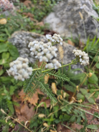
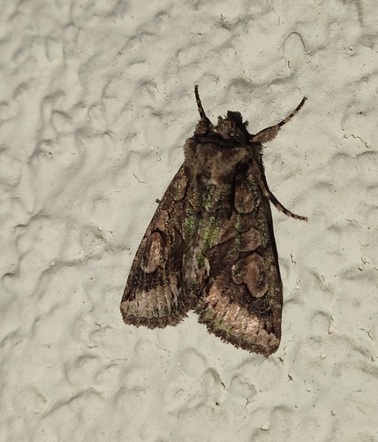
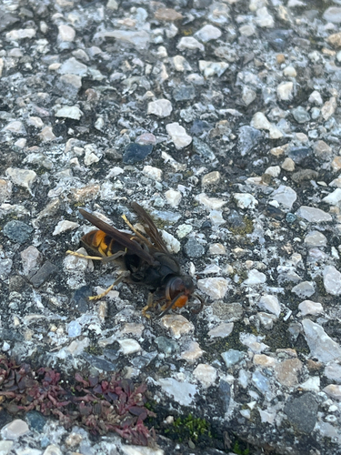
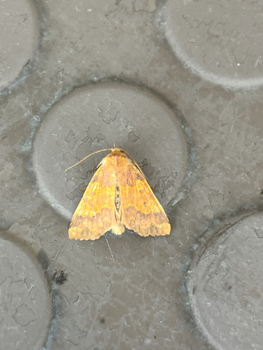
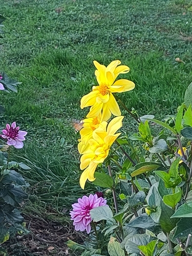
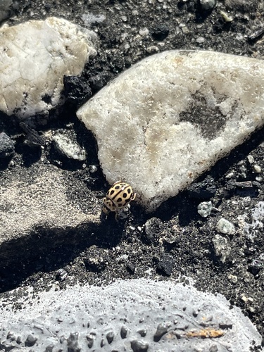
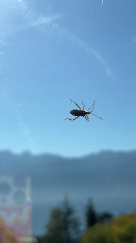
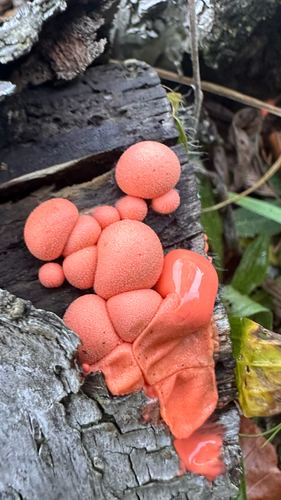
Research-grade observations from iNaturalist (within ~15 mi).
Events
Gallery
Official Identifiers
BFS — Swiss Federal Statistical Office
- BFS-Nr
- 5606
- Population (Wikidata)
- 9,986
- Wikidata
- Q69697
Gemeindenummer via Wikidata P771
Sources
- • Wikipedia
- • Wikidata
- • iNaturalist
- • Open-Elevation
- • Open-Meteo / sunrise-sunset.org
- • Wikipedia Pageviews API
- • Wikidata SPARQL (CC0) — population, area, elevation, inception, head of government, Commons image
- • BFS — Swiss Federal Statistical Office — Gemeindenummer via Wikidata P771