Browse / Switzerland / Bern / Meikirch
Meikirch
Bernvillage

Meikirch
Total population
2,430
Demographic figures from Swiss Federal Statistical Office. Overview below cites Wikipedia and may reference a different year.
City facts
Facts from Wikidata (CC0).
Overview
Meikirch is a municipality in the administrative district of Bern-Mittelland in the canton of Bern in Switzerland.
Read more on WikipediaHistory & geography
History
Meikirch is first mentioned in 1208 as Mönchilcha. Evidence of prehistoric settlements in Meikirch include rich Hallstatt sites in Grächwil and a Roman estate with wall paintings in Meikirch. The modern village was first settled and owned by the Monastery of Frienisberg. During the 13th and 14th centuries, the village was owned by the Bernburg family of Bolligen. During the 16th century, it was owned by the hereditary Schultheiss family of Aarberg, the Aebischers. In 1555 the Aebischer family sold the village to the city of Bern. The village church was first mentioned in 1275, but was built in the 7th and 8th century on top of the ruins of a Roman villa. Portions of the early medieval and medieval churches have been preserved in spite of later alterations. The church tower is from the 12th century. In 1528, after the Protestant Reformation, the church came under the authority of Bern. After the 1798 French invasion, it became part of the District of Zollikofen. Five years later, after the collapse of the Helvetic Republic, it was placed in the District of Aarberg. The municipality was on the old Bern-Frienisberg-Aarberg road and during the 18th and 19th centuries was part of the postal route between those towns. In 1851-52 a new road was built between Wohlen and Frieswil which bypassed Meikirch. The population began to decline after 1850 and the rate increased after World War I. During this time, the local farms changed from grain farming to cattle and dairy farming, which required fewer people and drove villagers away from Meikirch. The decline stopped with improved transport infrastructure, including the 1948 Postauto route to Bern. The population began to increase when, in 1960, a new road to Bern was completed. The old village houses were rebuilt and the new…
Geography
Meikirch has an area, , of . Of this area, or 63.8% is used for agricultural purposes, while or 26.3% is forested. Of the rest of the land, or 9.4% is settled (buildings or roads). Of the built up area, housing and buildings made up 6.2% and transportation infrastructure made up 3.3%. Out of the forested land, nearly all of the forested land area is covered with heavy forests. Of the agricultural land, 47.5% is used for growing crops and 14.6% is pastures, while 1.8% is used for orchards or vine crops. The municipality is a distant part of the agglomeration of Bern on the south-eastern edge of the Frienisberg plateau. It consists of the villages of Meikirch, Ortschwaben (first mentioned in 1185 as Nortsuaben) and Wahlendorf, the hamlets of Grächwil, Weissenstein and Äzikofen as well as scattered farms.
Excerpted from the corresponding Wikipedia article (CC BY-SA).
Geography
Coordinates & boundaries from the US Census TIGER/Line shapefiles.
Climate
Air quality
Walkability
Amenities nearby
Wildlife & biodiversity
Most-observed species
- European roe deerCapreolus capreolus (Linnaeus, 1758) · Mammalia9,846
- red foxVulpes vulpes (Linnaeus, 1758) · Mammalia6,783
- Southern DamselflyCoenagrion mercuriale (Charpentier, 1840) · Insecta4,741
- Meadow BrownManiola jurtina (Linnaeus, 1758) · Insecta4,527
- Eurasian beaverCastor fiber Linnaeus, 1758 · Mammalia4,504
- Common ToadBufo bufo (Linnaeus, 1758) · Amphibia4,374
- Annual FleabaneErigeron annuus (L.) Pers. · Magnoliopsida4,149
- Red AdmiralVanessa atalanta (Linnaeus, 1758) · Insecta3,404
Citizen-science & research observations from the Global Biodiversity Information Facility (GBIF).
Earthquake history
Most recent
- M 4.1 — 2025-07-214 km E of Frutigen, Switzerland
- M 3.5 — 2024-06-271 km SSW of Todtmoos, Germany
- M 4.4 — 2023-03-221 km NW of Pont-de-Roide, France
- M 3.9 — 2022-09-101 km WSW of Zimmersheim, France
- M 2.7 — 2022-08-234 km S of Turtmann, Switzerland
- M 4.1 — 2021-12-242 km WSW of Blamont, France
Events from the USGS Earthquake Catalog (global) (FDSN Event Web Service).
Photos
Sights & places nearby
Notable people from here
Nearby places in Bern
- Uettligen1.8 mi away
- Schwanden2.6 mi away
- Hinterkappelen2.9 mi away
- Diemerswil3.1 mi away
- Herrenschwanden3.3 mi away
- Frauenkappelen4 mi away · pop. 1,234
- Grossaffoltern4 mi away · pop. 2,948
- Rapperswil BE4.3 mi away · pop. 2,712
- Dieterswil4.3 mi away
- Aarberg4.8 mi away · pop. 4,648
- Wiggiswil5.2 mi away · pop. 98
- Bargen BE5.2 mi away · pop. 1,096
Geography & sun
Elevation, sunrise/sunset and daylight from Open-Meteo. Solar climatology from NASA POWER.
Nearby airports
Public attention
Pageview totals from the Wikimedia Pageviews API.
Books about Meikirch
Search results from Open Library.
Recent natural events nearby
Ground air-quality sensors
Recently spotted species
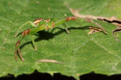
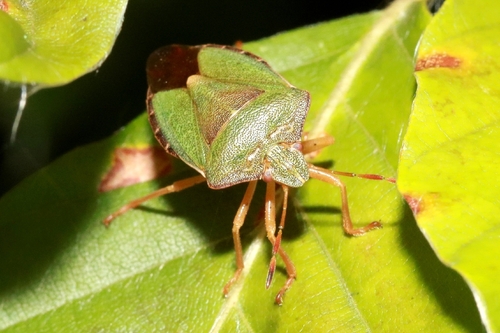
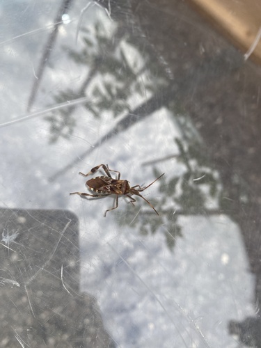
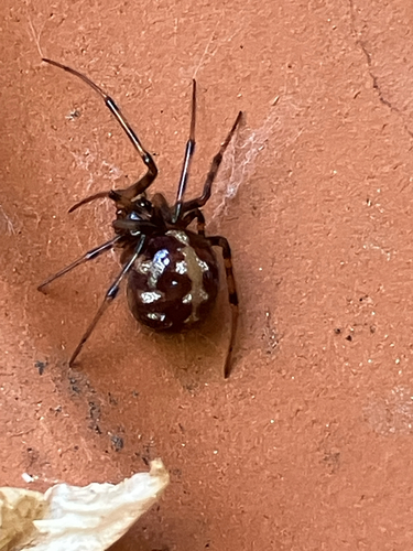
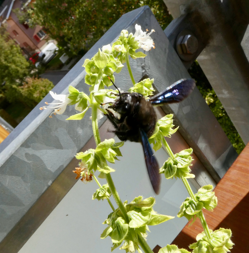
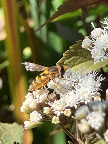
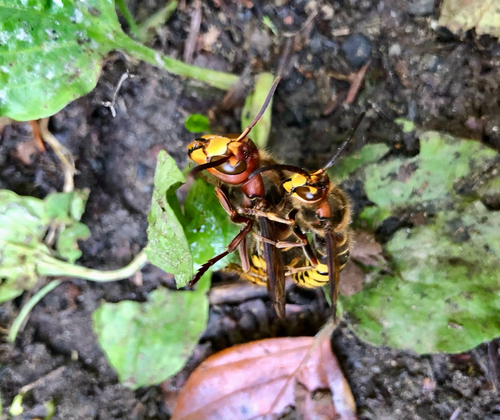
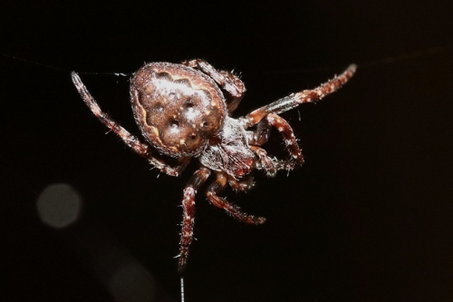
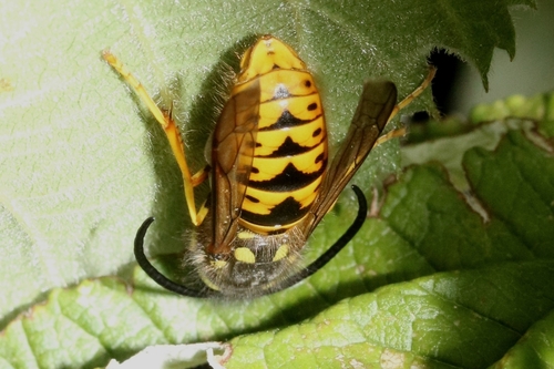
Research-grade observations from iNaturalist (within ~15 mi).
Events
Gallery
Official Identifiers
BFS — Swiss Federal Statistical Office
- BFS-Nr
- 307
- Population (Wikidata)
- 2,461
- Wikidata
- Q67294
Gemeindenummer via Wikidata P771
Sources
- • Wikipedia
- • Wikidata
- • USGS Earthquake Catalog (global feed)
- • GBIF (Global Biodiversity Information Facility)
- • iNaturalist
- • Open-Meteo / sunrise-sunset.org
- • Wikipedia Pageviews API
- • Open Library
- • Wikidata SPARQL (CC0) — population, area, elevation, inception, head of government, Commons image
- • BFS — Swiss Federal Statistical Office — Gemeindenummer via Wikidata P771