Browse / Switzerland / Aargau / Menziken
Menziken
Aargauvillage

Menziken
Total population
5,511
Demographic figures from Swiss Federal Statistical Office. Overview below cites Wikipedia and may reference a different year.
City facts
Facts from Wikidata (CC0).
Overview
Menziken is a municipality in the district of Kulm in the canton of Aargau in Switzerland. On 1 January 2023 the former municipality of Burg merged to form the municipality of Menziken.
Read more on WikipediaHistory & geography
History
Menziken is first mentioned in 1045 as Manzinchouen though that comes from a 14th-century copy of the original document. In 1295 it was mentioned as Menzchon. However, the current site of Menziken was settled earlier. Both Roman era ruins and Alamanni graves have been discovered in the municipality. During the High Middle Ages it was owned by the Counts of Lenzburg. In 1173 it passed over to the Kyburgs and following the extinction of the Kyburg line, in 1273 it passed to the Habsburgs. The Habsburgs held the rights to high justice while their vassals, the Lords of Reinach, held the rights to low justice. From the conquest of Aargau in 1415 until the creation of the Helvetic Republic in 1798, the village was under Bernese domination. At that time, Menziken belonged to the district () of Lenzburg. With the creation of the Canton of Aargau through the Act of Mediation in 1803, Menziken became a municipality in the new canton. During the Middle Ages Menziken was part of the Catholic parish of Pfeffikon. Following the introduction of the Protestant Reformation in 1528, it was initially part of Gontenschwil parish and then of the parish of Reinach. It became the independent parish of Menziken-Burg in 1889–90, with the construction of its own church. The Catholic Menziken-Reinach Diaspora parish was created in 1906-07 when St Anne's Church was built in the municipality. In 1729 a cotton factory was built in the municipality. This factory was followed by numerous weavers, spinners and dyers, which until the 19th century provided a major source of income. In 1838 Samuel Weber opened a cigar factory in the village which led to the cigar industry dominating the entire upper Wynental. The cigar companies represented a major employer until the second half of the…
Geography
Menziken has an area, , of . Of this area, or 47.6% is used for agricultural purposes, while or 23.3% is forested. Of the rest of the land, or 29.3% is settled (buildings or roads), or 0.2% is either rivers or lakes and or 0.2% is unproductive land. Of the built up area, industrial buildings made up 2.8% of the total area while housing and buildings made up 17.1% and transportation infrastructure made up 4.4%. Power and water infrastructure as well as other special developed areas made up 2.7% of the area while parks, green belts and sports fields made up 2.3%. 21.8% of the total land area is heavily forested and 1.6% is covered with orchards or small clusters of trees. Of the agricultural land, 29.9% is used for growing crops and 16.6% is pastures, while 1.1% is used for orchards or vine crops. All the water in the municipality is in rivers and streams. The municipality is located in the Kulm district. Menziken, together with Reinach Burg and Pfeffikon in the Canton of Lucerne, forms an agglomeration in the upper Wynental (Wyna River valley).
Excerpted from the corresponding Wikipedia article (CC BY-SA).
Geography
Coordinates & boundaries from the US Census TIGER/Line shapefiles.
Climate
Air quality
Walkability
Amenities nearby
Wildlife & biodiversity
Earthquake history
Photos
Sights & places nearby
Notable people from here


People born within ~10 km, from Wikidata (CC0). Click any name for their Wikipedia article.
Nearby places in Aargau
- Reinach0.9 mi away · pop. 7,258
- Leimbach AG2.3 mi away · pop. 533
- Birrwil3.4 mi away · pop. 960
- Meisterschwanden4.2 mi away · pop. 2,940
- Schmiedrued4.4 mi away · pop. 1,219
- Fahrwangen4.5 mi away · pop. 1,653
- Leutwil4.8 mi away · pop. 755
- Bettwil5 mi away · pop. 576
- Dürrenäsch5.7 mi away · pop. 1,373
- Schlossrued5.8 mi away · pop. 903
- Seengen5.9 mi away · pop. 3,955
- Kirchleerau6 mi away · pop. 849
Geography & sun
Elevation, sunrise/sunset and daylight from Open-Meteo. Solar climatology from NASA POWER.
Nearby airports
Public attention
Pageview totals from the Wikimedia Pageviews API.
Books about Menziken
Search results from Open Library.
Recent natural events nearby
Ground air-quality sensors
Recently spotted species
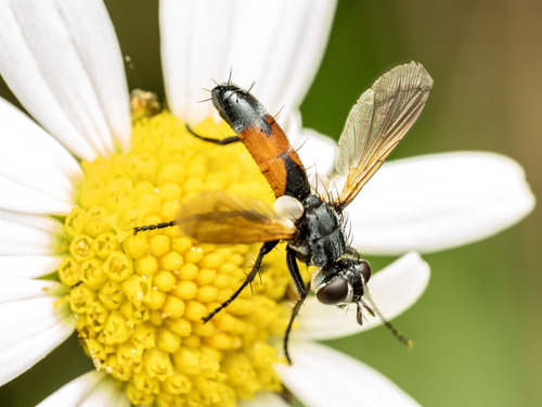
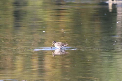
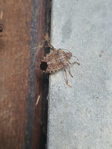
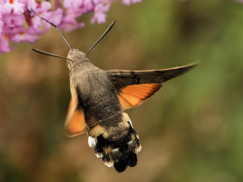
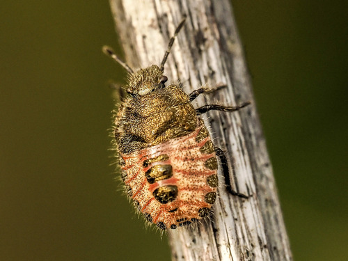
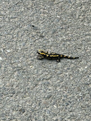
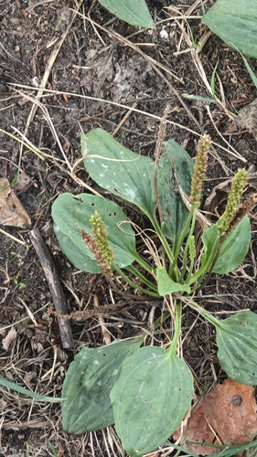
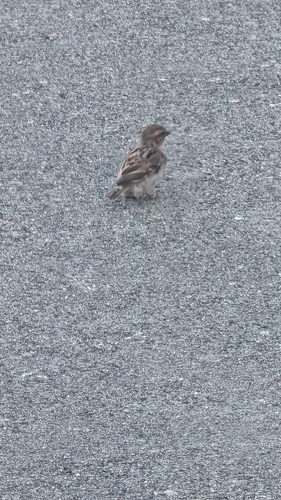
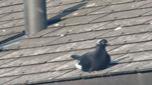
Research-grade observations from iNaturalist (within ~15 mi).
Events
Gallery
Official Identifiers
BFS — Swiss Federal Statistical Office
- BFS-Nr
- 4139
- Population (Wikidata)
- 6,330
- Wikidata
- Q65309
Gemeindenummer via Wikidata P771
Sources
- • Wikipedia
- • Wikidata
- • iNaturalist
- • Open-Meteo / sunrise-sunset.org
- • Wikipedia Pageviews API
- • Open Library
- • Wikidata SPARQL (CC0) — population, area, elevation, inception, head of government, Commons image
- • BFS — Swiss Federal Statistical Office — Gemeindenummer via Wikidata P771