Browse / Switzerland / Ticino / Minusio
Minusio
Ticinovillage

Minusio
Total population
7,251
Demographic figures from Swiss Federal Statistical Office. Overview below cites Wikipedia and may reference a different year.
City facts
Sister cities
Facts from Wikidata (CC0).
Overview
Minusio is a municipality in the district of Locarno in the canton of Ticino in Switzerland.
Read more on WikipediaHistory & geography
History
In the Ceresole section, a significant Iron Age necropolis (c. 6th-5th century BC) was discovered. It held about 20 graves and rich grave goods. Nearby, several Roman graveyards from the 1st and 2nd Centuries AD, were discovered. The Roman graveyards are among the most important in Ticino because of the complexity of the system and the amount of material. A discovery in 1936 found about 30 graves. In the Roman era, Minusio was a minor settlement outside of Muralto, which was the center of the Roman presence in the Locarno area. Minusio is first mentioned in 1061 as Menuxio, though this comes from a copy of the original from 1402. In 1200 it was mentioned as Menuxio. It used to be known by its German name, Maniss, though this is no longer used. During the Middle Ages, it was a village, which, together with Brione sopra Minusio and Mergoscia formed a Vicinanza. By the time that the village laws were written down in 1313, Minusio had separated from Mergoscia. Brione dissolved as an independent village gradually until 1479 when it ceased to exist independently. Traces of the old vicinanza remained until 1952 in the so-called Comunella dei tre comuni which held common property and court rights. Minusio owned fishing and grazing rights in the Magadino valley, and shared ownership of the Terricciole region with Mergoscia and Locarno until 1920. The town mayor was picked by the four squadre (town sections) of Rivapiana, Cadogno, Frizzi and Mezzo, each in turn. Between 1803 and 1839, Minusio was the capital of the district of Navegna. In 1839, it supported the anti-Confederation side in the constitutional struggles. When they lost the conflict, it lost not only its role as district capital to Tenero, but was also occupied by the military. The town church was…
Geography
Minusio has an area, (as of the 2004/09 survey) of . Of this area, about 8.9% is used for agricultural purposes, while 55.2% is forested. Of the rest of the land, 33.9% is settled (buildings or roads) and 2.0% is unproductive land. In the 2004/09 survey a total of or about 25.3% of the total area was covered with buildings, an increase of over the 1983 amount. The amount of recreational space in the municipality is now about 2.91% of the total area. Of the agricultural land, is used for orchards and vineyards, is fields and grasslands and consists of alpine grazing areas. Since 1983 the amount of agricultural land has decreased by . Over the same time period the amount of forested land has increased by . Rivers and lakes cover in the municipality. The municipality is located in the Locarno district, about east of Locarno on Lake Maggiore. It consists of the village of Minusio with the sections of Ceresole, Mappo and Mondacce.
Excerpted from the corresponding Wikipedia article (CC BY-SA).
Geography
Coordinates & boundaries from the US Census TIGER/Line shapefiles.
Climate
Air quality
Walkability
Amenities nearby
Wildlife & biodiversity
Most-observed species
- Encrusted Foam LichenStereocaulon incrustatum Flörke · Lecanoromycetes13,438
- Chusan PalmTrachycarpus fortunei (Hook.) H.Wendl. · Liliopsida9,616
- MallardAnas platyrhynchos Linnaeus, 1758 · Aves4,534
- Hooded CrowCorvus cornix Linnaeus, 1758 · Aves3,708
- Tree-of-HeavenAilanthus altissima (Mill.) Swingle · Magnoliopsida3,428
- Eurasian BlackbirdTurdus merula Linnaeus, 1758 · Aves3,347
- Great TitParus major Linnaeus, 1758 · Aves3,331
- Common ChaffinchFringilla coelebs Linnaeus, 1758 · Aves3,038
Citizen-science & research observations from the Global Biodiversity Information Facility (GBIF).
Earthquake history
Most recent
- M 4.1 — 2025-07-214 km E of Frutigen, Switzerland
- M 2.7 — 2022-08-234 km S of Turtmann, Switzerland
- M 4.5 — 2021-12-181 km WNW of Dalmine, Italy
- M 4.1 — 2020-12-170 km SW of Opera, Italy
- M 4 — 2020-10-255 km ESE of Ennenda, Switzerland
- M 4.1 — 2017-03-068 km SSE of Muotathal, Switzerland
Events from the USGS Earthquake Catalog (global) (FDSN Event Web Service).
Photos
Sights & places nearby
Notable people from here


People born within ~10 km, from Wikidata (CC0). Click any name for their Wikipedia article.
Nearby places in Ticino
- Brione sopra Minusio0.5 mi away · pop. 527
- Muralto0.5 mi away · pop. 2,811
- Locarno0.9 mi away · pop. 16,000
- Contra1.6 mi away
- Tenero-Contra1.7 mi away · pop. 2,751
- Brè sopra Locarno1.8 mi away
- Gordemo2 mi away
- Losone2.4 mi away · pop. 6,499
- Ascona2.4 mi away · pop. 5,423
- Gordola2.5 mi away · pop. 4,480
- Vira (Gambarogno)2.6 mi away · pop. 616
- Piazzogna2.9 mi away
Geography & sun
Elevation, sunrise/sunset and daylight from Open-Meteo. Solar climatology from NASA POWER.
Nearby airports
Public attention
Pageview totals from the Wikimedia Pageviews API.
Books about Minusio
Search results from Open Library.
Recent natural events nearby
Ground air-quality sensors
Recently spotted species
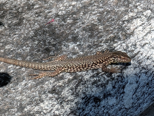
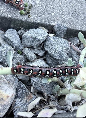
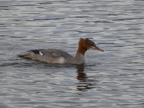
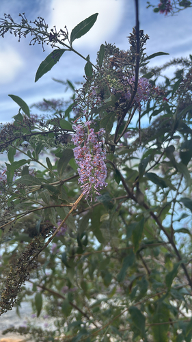
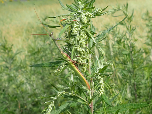
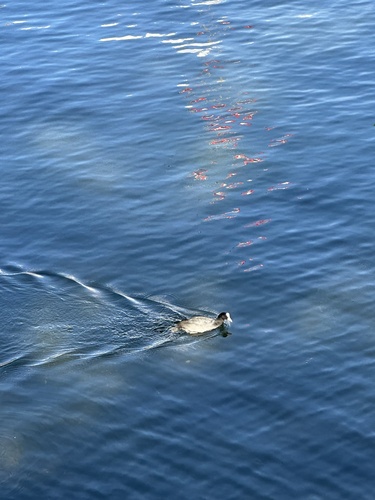
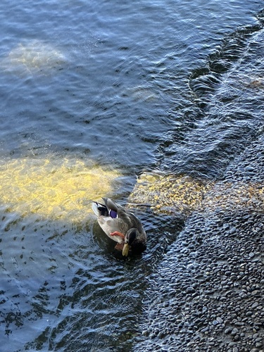
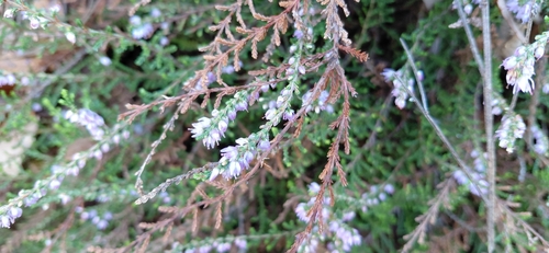
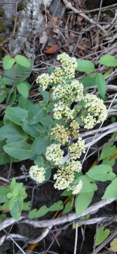
Research-grade observations from iNaturalist (within ~15 mi).
Events
Gallery
Official Identifiers
BFS — Swiss Federal Statistical Office
- BFS-Nr
- 5118
- Population (Wikidata)
- 7,226
- Wikidata
- Q69065
Gemeindenummer via Wikidata P771
Sources
- • Wikipedia
- • Wikidata
- • USGS Earthquake Catalog (global feed)
- • GBIF (Global Biodiversity Information Facility)
- • iNaturalist
- • Open-Elevation
- • Open-Meteo / sunrise-sunset.org
- • Wikipedia Pageviews API
- • Open Library
- • Wikidata SPARQL (CC0) — population, area, elevation, inception, head of government, Commons image
- • BFS — Swiss Federal Statistical Office — Gemeindenummer via Wikidata P771