Browse / Switzerland / Aargau / Spreitenbach
Spreitenbach
Aargautown

Spreitenbach
Total population
12,482
Demographic figures from Swiss Federal Statistical Office. Overview below cites Wikipedia and may reference a different year.
City facts
Sister cities
Facts from Wikidata (CC0).
Overview
Spreitenbach is a municipality in the district of Baden in the canton of Aargau in Switzerland, located in the Limmat Valley.
Read more on WikipediaHistory & geography
History
The first historical mention of Spreitenbach was in the year 1124. Along with many convents, the most distinguished landholders were the Knights of Schönenwerd (in Dietikon). They were forced to sell all of their farms to the Wettingen Abbey between 1274 and 1287. In 1415 the Old Swiss Confederacy conquered Aargau and Spreitenbach was made part of the district of Dietikon in the County of Baden, a unit in the confederacy. In 1541 the Wettingen Abbey acquired low justice. In 1670 and again in 1785, many of the houses in the town were destroyed in fires. In March 1798, France invaded Switzerland and declared the Helvetic Republic. Spreitenbach became a municipality in the short-lived canton of Baden; since 1803 the municipality has been in the canton of Aargau. On August 9, 1847 the railway between Zurich and Baden was opened. The citizens of Spreitenbach lobbied for the path to go far to the side of the city; for this reason, the nearest station today is in the municipality of Killwangen, although it has about seven times fewer residents. Industrialization began in 1862 with the opening of a cotton spinning works. In the 1950s, Spreitenbach was still a quiet farming town with a small business community and a gliderport. However, a major construction boom followed. In the canton of Zurich, then forbidding concubinage (i.e. unmarried cohabitation, banned until 1972), the demand rose for housing in the canton of Aargau, especially in Spreitenbach. This was in addition to the general housing demand, which rose due to the population growth of the Zurich area. A "New Spreitenbach" was planned and built. It was planned as a satellite city: a string of high-rise developments and designated commercial and industrial zones. In the middle of the 1960s, the planners anticipated…
Geography
The town lies between Baden and Zurich on the south side of the Limmat, located in the Limmat Valley. The settled area stretches along a plain between the Heitersberg and the waterfront. The old town center, through which the Spreitenbach stream flows, lies to the south and has preserved its original character well. North of that is the modern city, with wide apartment buildings, industrial areas, and shopping centers. The extended industrial zone Neuhard is located to the extreme north, across the motorway and railway, at a bend in the Limmat. The eastern part of the plain is dominated by the classification yard Zurich-Limmattal. The ("French pond") lies in the forested area south of Spreitenbach, near the municipal border with Dietikon. The "Altes Bad" biotope is made up of a pool and a wetland with a great diversity of plants. The municipality has set aside this area and the neighboring forest as a protected natural zone. The name comes from the fact that Napoleon's troops camped at the pond, before crossing the Limmat at Kloster Fahr. Around west of the town, at a height of , lies Heitersberg, a hamlet set on a high plateau in the Heitersbergs. Not far from there is the highest point in the municipality (). The lowest point, , is the Limmat. Spreitenbach has an area, , of . Of this area, 27.8% is used for agricultural purposes, while 35.3% is forested. Of the rest of the land, 35.5% is settled (buildings or roads) and the remainder (1.4%) is non-productive (rivers or lakes).
Excerpted from the corresponding Wikipedia article (CC BY-SA).
Geography
Coordinates & boundaries from the US Census TIGER/Line shapefiles.
Climate
Air quality
Walkability
Amenities nearby
Wildlife & biodiversity
Earthquake history
Photos
Sights & places nearby
Notable people from here


People born within ~10 km, from Wikidata (CC0). Click any name for their Wikipedia article.
Nearby places in Aargau
- Killwangen1.1 mi away · pop. 2,075
- Bellikon2.1 mi away · pop. 1,550
- Bergdietikon2.2 mi away · pop. 2,830
- Oberrohrdorf2.2 mi away · pop. 4,124
- Niederrohrdorf2.8 mi away · pop. 4,035
- Rudolfstetten3.4 mi away · pop. 3,738
- Eggenwil3.5 mi away · pop. 669
- Wettingen3.7 mi away · pop. 21,000
- Nesselnbach3.9 mi away
- Friedlisberg4 mi away
- Tägerig4.1 mi away · pop. 1,193
- Fischbach-Göslikon4.2 mi away · pop. 1,254
Geography & sun
Elevation, sunrise/sunset and daylight from Open-Meteo. Solar climatology from NASA POWER.
Nearby airports
Public attention
Pageview totals from the Wikimedia Pageviews API.
Books about Spreitenbach
Search results from Open Library.
Recent natural events nearby
Ground air-quality sensors
Recently spotted species
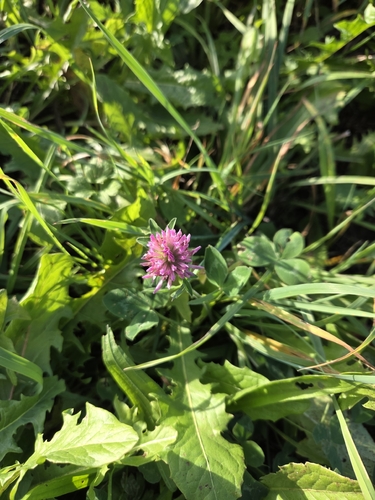
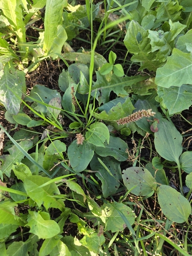
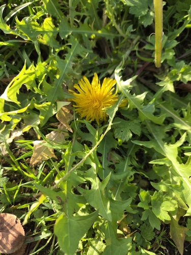
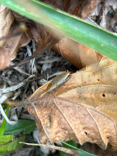
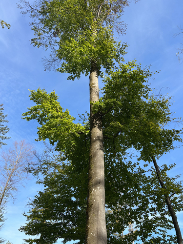
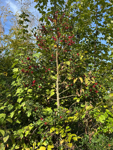
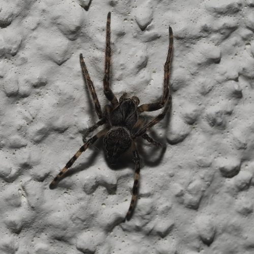
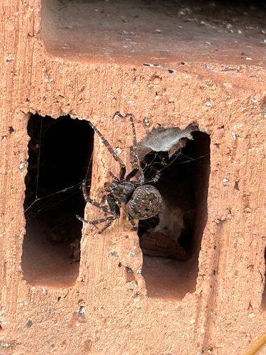
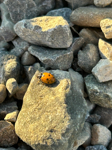
Research-grade observations from iNaturalist (within ~15 mi).
Events
Gallery
Official Identifiers
BFS — Swiss Federal Statistical Office
- BFS-Nr
- 4040
- Population (Wikidata)
- 11,270
- Wikidata
- Q64210
Gemeindenummer via Wikidata P771
Sources
- • Wikipedia
- • Wikidata
- • iNaturalist
- • Open-Elevation
- • Open-Meteo / sunrise-sunset.org
- • Wikipedia Pageviews API
- • Open Library
- • Wikidata SPARQL (CC0) — population, area, elevation, inception, head of government, Commons image
- • BFS — Swiss Federal Statistical Office — Gemeindenummer via Wikidata P771