Browse / Switzerland / Bern / Stettlen
Stettlen
Bernvillage

Stettlen
Total population
3,149
Demographic figures from Swiss Federal Statistical Office. Overview below cites Wikipedia and may reference a different year.
City facts
Overview
Stettlen is a municipality in the Bern-Mittelland administrative district in the canton of Bern in Switzerland.
Read more on WikipediaHistory & geography
History
Stettlen is first mentioned in 1146 as Stetelon. Archeological excavations have found evidence of several prehistoric settlements in the Stettlen area. The earliest is several La Tène era graves which contain skeletons and some items of jewelry from near the modern Bleichestrasse. Traces of a Roman era settlement were found at Deisswil. During the High Middle Ages there was a small castle at Schwandiholz, of which no records remain. Stettlen was the smallest of the four parishes on the city of Bern. After 1300, it was considered part of the extended city and until 1798 residents of Stettlen were considered citizens of Bern. The village church of St. Blaise was first built in the 9th century. It was rebuilt during the 12th century and rebuilt again around 1400. No records remain of the first two churches but the foundations have been archeologically explored. The current church was built in 1729-30. The village of Stettlen was the center of a number of small farms and the hamlet of Deisswil. By 1810, Stettlen had 295 residents, Deisswil had 88 inhabitants and the scattered farms along the Utzlenberg collectively had 223 inhabitants. From 1700 until 1720 a Bernese patrician family built the Deisswilgut manor and mill in Stettlen. The area upstream from Deisswilgut became known as Upper Deisswilgut. Starting in 1757 Upper Deisswilgut became home to fulling, bleaching and dyeing plants that were built along the Worblen river. In 1846, a Federal blasting cap factory was built along the Worblen. This was followed in 1876 by the businessman Jorg Ulrich's cardboard factory. Initially the cardboard was produced with water power, which was replaced by steam power and by 1900 electricity. In 1913 the cardboard factory was connected to the Bern-Worb railroad. Low cost…
Geography
Stettlen has an area of . Of this area, or 51.4% is used for agricultural purposes, while or 26.7% is forested. Of the rest of the land, or 22.4% is settled (buildings or roads), or 0.3% is either rivers or lakes. Of the built up area, industrial buildings made up 2.0% of the total area while housing and buildings made up 13.1% and transportation infrastructure made up 5.7%. while parks, green belts and sports fields made up 1.7%. Out of the forested land, all of the forested land area is covered with heavy forests. Of the agricultural land, 30.7% is used for growing crops and 17.6% is pastures, while 3.1% is used for orchards or vine crops. All the water in the municipality is flowing water.
Excerpted from the corresponding Wikipedia article (CC BY-SA).
Geography
Coordinates & boundaries from the US Census TIGER/Line shapefiles.
Climate
Air quality
Walkability
Amenities nearby
Wildlife & biodiversity
Earthquake history
Photos
Sights & places nearby
Notable people from here
Nearby places in Bern
- Ostermundigen1.6 mi away · pop. 16,185
- Gümligen1.8 mi away
- Vechigen Dorf1.9 mi away
- Vechigen1.9 mi away · pop. 4,614
- Worb2.7 mi away · pop. 11,449
- Bern3.5 mi away · pop. 128,848
- Richigen3.9 mi away
- Krauchthal4 mi away · pop. 2,380
- Rubigen4.2 mi away · pop. 2,920
- Schönbühl4.2 mi away
- Bäriswil BE4.2 mi away · pop. 1,112
- Moosseedorf4.5 mi away · pop. 4,130
Geography & sun
Elevation, sunrise/sunset and daylight from Open-Meteo. Solar climatology from NASA POWER.
Nearby airports
Public attention
Pageview totals from the Wikimedia Pageviews API.
Books about this place
Recent natural events nearby
Ground air-quality sensors
Recently spotted species
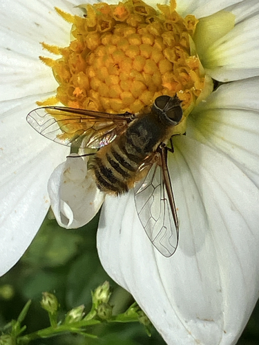
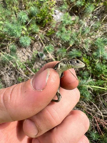
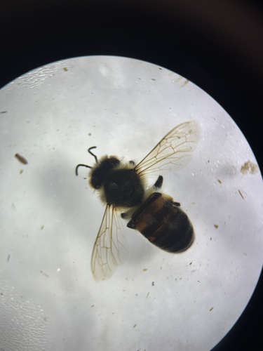
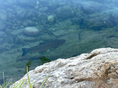
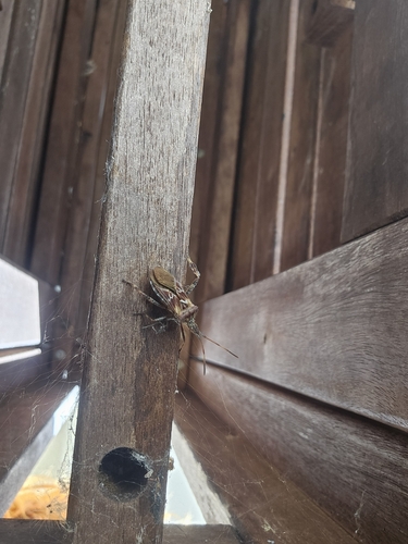
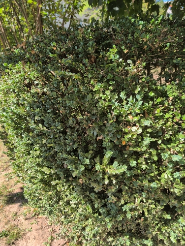
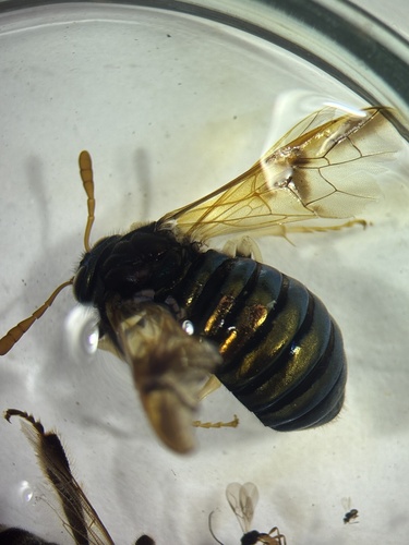
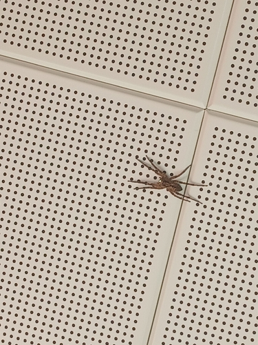
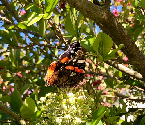
Research-grade observations from iNaturalist (within ~15 mi).
Events
Gallery
Official Identifiers
BFS — Swiss Federal Statistical Office
- BFS-Nr
- 358
- Population (Wikidata)
- 3,113
- Wikidata
- Q70052
Gemeindenummer via Wikidata P771
Sources
- • Wikipedia
- • iNaturalist
- • Open-Elevation
- • Open-Meteo / sunrise-sunset.org
- • Wikipedia Pageviews API
- • Wikidata SPARQL (CC0) — population, area, elevation, inception, head of government, Commons image
- • BFS — Swiss Federal Statistical Office — Gemeindenummer via Wikidata P771