Browse / Switzerland / Graubünden / Zuoz
Zuoz
Graubündenvillage

Zuoz
Total population
1,218
Demographic figures from Swiss Federal Statistical Office. Overview below cites Wikipedia and may reference a different year.
City facts
Facts from Wikidata (CC0).
Overview
Zuoz is a municipality in the Maloja Region in the Swiss canton of the Grisons.
Read more on WikipediaHistory & geography
History
Zuoz is first mentioned about 840 as Zuzes. Historically, Zuoz was the political center of the upper Engadin. It was the seat of the local bishop. But, it has long ago been supplanted by other Engadin villages such as St. Moritz and Samedan. In 1137-39 the village was acquired from the count von Gamertingen by the Bishop of Chur. In 1244 Bishop Volkart appointed Andreas Planta from Zuoz to be the chancellor of the Oberengadin. The Planta family remained in power until 1798. In 1367, Zuoz joined the League of God's House under the leadership of the Amtmann Thomas Planta. The continuing arguments between Zuoz and Samedan led, in 1438, to the division of the court into two parts, the courts of Sur and Suot Funtauna Merla. In 1492, the village bought the Bishop's property and rights to tax in Zuoz. Then, in 1526 the Bishop lost the right to high justice with the Ilanzer articles. In the Swabian War the inhabitants ignited their fields to force the enemy to retreat. Over the course of the 15th Century, several villages became independent of Zuoz. S-chanf left in 1518, La Punt Chamues-ch in 1528 and Madulain in 1534. In 1554, Zuoz joined the Protestant Reformation and converted. In 1512, the Three Leagues conquered the Valtellina valley. The improved trade routes and money that this valley brought, led to a golden age in the Engadin valley. During this time in Zuoz; a Latin school was established, the first written Romansh language was developed and choir singing spread in both religious and everyday theater. In addition Zuozer students visited foreign schools. After the Bündner Wirren (or Confusion of the Leagues) from 1618 to 1639, many residents of the village emigrated seeking jobs in other regions. The loss of the Valtellina valley led to further emigrations and…
Geography
Zuoz has an area, , of . Of this area, 49.5% is used for agricultural purposes, while 9.2% is forested. Of the rest of the land, 1.1% is settled (buildings or roads) and the remainder (40.2%) is non-productive (rivers, glaciers or mountains). Before 2017, the municipality was located in the Oberengadin sub-district of the Maloja district, after 2017 it was part of the Maloja Region. The village center is located on the slope of Munt Albanas and is surrounded by new developments.
Excerpted from the corresponding Wikipedia article (CC BY-SA).
Geography
Coordinates & boundaries from the US Census TIGER/Line shapefiles.
Climate
Air quality
Walkability
Amenities nearby
Wildlife & biodiversity
Earthquake history
Photos
Sights & places nearby
Notable people from here


People born within ~10 km, from Wikidata (CC0). Click any name for their Wikipedia article.
Nearby places in Graubünden
- S-chanf1.4 mi away · pop. 748
- Madulain1.4 mi away · pop. 196
- La Punt Chamues-ch2.2 mi away · pop. 759
- Bever4.8 mi away · pop. 636
- Celerina7.8 mi away · pop. 1,509
- Pontresina8.1 mi away · pop. 2,077
- Zernez9.2 mi away · pop. 1,579
- St. Moritz9.2 mi away · pop. 4,997
- Bergün/Bravuogn10.4 mi away · pop. 503
- Champfèr11.1 mi away
- Davos Monstein11.8 mi away · pop. 181
- Surlej12.2 mi away
Geography & sun
Elevation, sunrise/sunset and daylight from Open-Meteo. Solar climatology from NASA POWER.
Nearby airports
Public attention
Pageview totals from the Wikimedia Pageviews API.
Books about Zuoz
Search results from Open Library.
Recent natural events nearby
Ground air-quality sensors
Recently spotted species
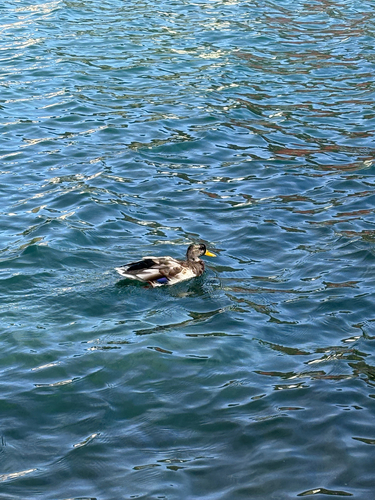
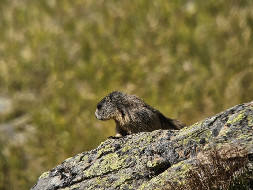
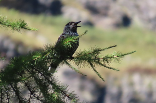
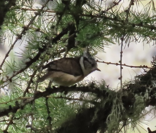
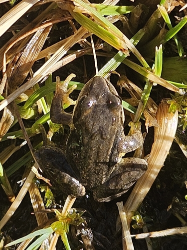
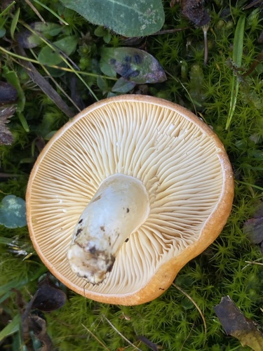
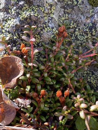
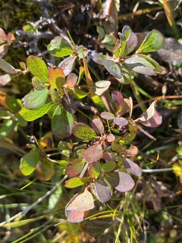
Research-grade observations from iNaturalist (within ~15 mi).
Events
Gallery
Official Identifiers
BFS — Swiss Federal Statistical Office
- BFS-Nr
- 3791
- Population (Wikidata)
- 1,186
- Wikidata
- Q66184
Gemeindenummer via Wikidata P771
Sources
- • Wikipedia
- • Wikidata
- • iNaturalist
- • Open-Meteo / sunrise-sunset.org
- • Wikipedia Pageviews API
- • Open Library
- • Wikidata SPARQL (CC0) — population, area, elevation, inception, head of government, Commons image
- • BFS — Swiss Federal Statistical Office — Gemeindenummer via Wikidata P771