Browse / China / Hong Kong / Sai Kung
Sai Kung
Hong Kongtown

Sai Kung
Demographic figures from National Bureau of Statistics of China. Overview below cites Wikipedia and may reference a different year.
City facts
Overview
Sai Kung Town, or simply Sai Kung, is a town on the Sai Kung Peninsula facing Sai Kung Hoi in the New Territories, Hong Kong. Sai Kung is the central hub of nearby surrounding villages, and, hence the name, may also refer to the areas in its immediate surroundings.
Read more on WikipediaHistory & geography
History
According to Professor David Faure, no market was recorded, where modern-day Sai Kung District is located, in the Qing dynasty's Xin'an Xianzhi (), neither in the Kangxi edition (1688) nor in the Jiaqing edition (1819). Instead, Faure stated that, due to inaccessibility of land-based transport, Leung Shuen Wan (High Island) was probably developed into a moorage inlet in the 18th century. Sai Kung town underwent significant expansion during the 1970s, when the High Island Reservoir (and its associated water management schemes) required some villagers and fishermen to be relocated to Sai Kung. This provided new government-funded residential and commercial development in the town centre, and was followed by Tui Min Hoi (literally 'over the harbour')'s development under the government's market town programme. Before the relocation of Hong Kong International Airport from Kai Tak to Chek Lap Kok, the town was a popular residential area for the airport's and airlines' international employees. The town is next to Sai Kung Hoi, which was a fishing harbour. The harbour is now a typhoon shelter, where motorized junks, used in the local tourist trade, are moored. These boats can be hired for sightseeing, or for fishing or swimming trips.
Excerpted from the corresponding Wikipedia article (CC BY-SA).
Geography
Coordinates & boundaries from the US Census TIGER/Line shapefiles.
Climate
Air quality
Walkability
Amenities nearby
Wildlife & biodiversity
Most-observed species
- Red-whiskered BulbulPycnonotus jocosus (Linnaeus, 1758) · Aves18,573
- Spotted DoveSpilopelia chinensis (Scopoli, 1786) · Aves16,817
- Oriental Magpie-RobinCopsychus saularis (Linnaeus, 1758) · Aves13,734
- Swinhoe's White-eyeZosterops simplex Swinhoe, 1861 · Aves13,524
- Eurasian Tree SparrowPasser montanus (Linnaeus, 1758) · Aves13,313
- Light-vented BulbulPycnonotus sinensis (Gmelin, 1789) · Aves12,582
- Common TailorbirdOrthotomus sutorius (Pennant, 1769) · Aves11,858
- Black-collared StarlingGracupica nigricollis (Paykull, 1807) · Aves11,042
Citizen-science & research observations from the Global Biodiversity Information Facility (GBIF).
Earthquake history
Most recent
- M 3.8 — 2022-03-1337 km W of Shanwei, China
- M 3.8 — 2020-01-0414 km SW of Tai O, Hong Kong
- M 3.8 — 2010-11-194 km NNW of Haikuotiankong, China
Events from the USGS Earthquake Catalog (global) (FDSN Event Web Service).
Photos
Sights & places nearby
Notable people from here


People born within ~10 km, from Wikidata (CC0). Click any name for their Wikipedia article.
Nearby places in Hong Kong
Geography & sun
Elevation, sunrise/sunset and daylight from Open-Meteo. Solar climatology from NASA POWER.
Nearby airports
Public attention
Pageview totals from the Wikimedia Pageviews API.
Books about Sai Kung


Search results from Open Library.
Recent natural events nearby
Ground air-quality sensors
Recently spotted species
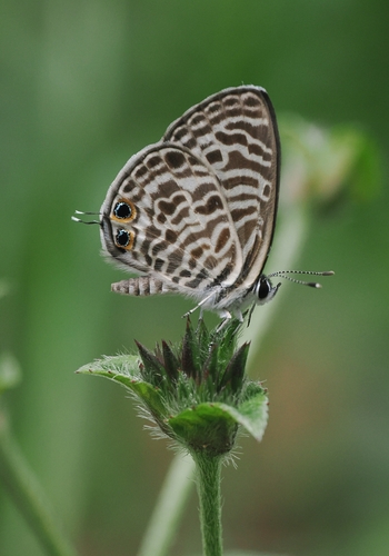
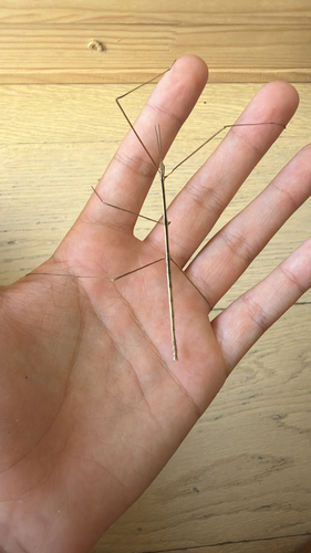
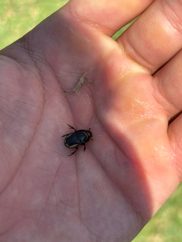
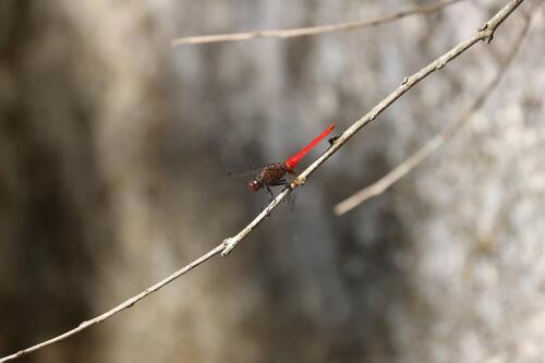
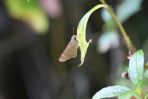
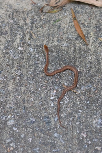
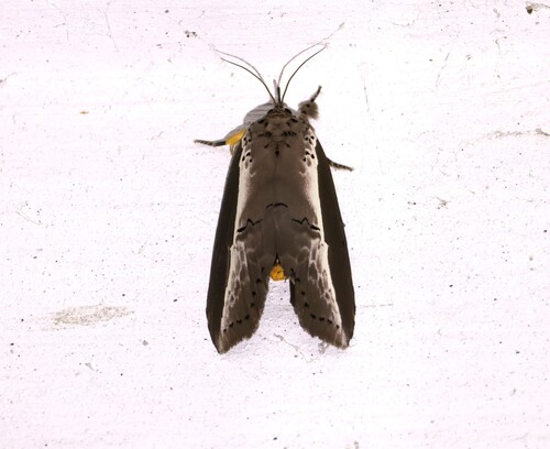
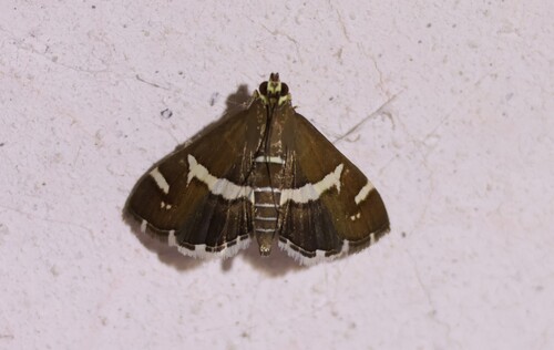
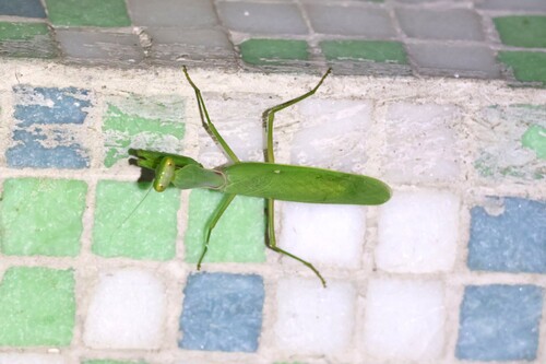
Research-grade observations from iNaturalist (within ~15 mi).
Events
Gallery
Sources
- • Wikipedia
- • Wikidata
- • USGS Earthquake Catalog (global feed)
- • GBIF (Global Biodiversity Information Facility)
- • iNaturalist
- • Open-Meteo / sunrise-sunset.org
- • Wikipedia Pageviews API
- • Open Library