Browse / China / Hong Kong / Tseung Kwan O
Tseung Kwan O
Hong Kongtown

Tseung Kwan O
Demographic figures from National Bureau of Statistics of China. Overview below cites Wikipedia and may reference a different year.
City facts
Facts from Wikidata (CC0).
Overview
Tseung Kwan O New Town, commonly known as Tseung Kwan O, is one of the nine new towns in Hong Kong, built mainly on reclaimed land in the northern half of Junk Bay in southeastern New Territories, after which it is named.
Read more on WikipediaHistory & geography
Geography
Tseung Kwan O is located near the southeastern tip of the New Territories mainland, east-southeast from the Central District of Hong Kong. The town is bounded on the south by the namesake Junk Bay, known as Tseung Kwan O () in Chinese. Most of the residential developments in the new town stand on land reclaimed from the bay. The mountains of Devil's Peak, Chiu Keng Wan Shan, Black Hill and Tai Sheung Tok form the new town's western boundary, where it borders Kwun Tong District of Kowloon. Lying to the north and southeast of the town are Razor Hill and High Junk Peak, which separate the new town from the rural parts of Sai Kung District. The whole of Tseung Kwan O belongs to Sai Kung District, part of the New Territories. The town is, however, situated far away from other major population centres of the New Territories, and is instead in close proximity with Kwun Tong in Kowloon. While the town is entirely within the New Territories East geographical constituency, a number of governmental bodies and large corporations would, for the sake of administrative convenience, classify Tseung Kwan O as part of Kowloon East, adding to the confusion of the town's residents. For example, the Hospital Authority places Tseung Kwan O under its Kowloon East Cluster. From 1992 to 2017, Tseung Kwan O had been policed under the Tseung Kwan O Division of the Kwun Tong Police District, and the upgraded Tseung Kwan O Police District still belongs to the Kowloon East Police Region. It is under such a situation that the new town is often incorrectly, or intentionally, referred to as part of Kowloon. This is illustrated by the fact that the two hotels in Tseung Kwan O are named Crowne Plaza Hong Kong Kowloon East and Holiday Inn Express Hong Kong Kowloon East. The development of Tseung…
Excerpted from the corresponding Wikipedia article (CC BY-SA).
Geography
Coordinates & boundaries from the US Census TIGER/Line shapefiles.
Climate
Air quality
Walkability
Amenities nearby
Wildlife & biodiversity
Most-observed species
- Red-whiskered BulbulPycnonotus jocosus (Linnaeus, 1758) · Aves17,817
- Spotted DoveSpilopelia chinensis (Scopoli, 1786) · Aves15,770
- Oriental Magpie-RobinCopsychus saularis (Linnaeus, 1758) · Aves13,176
- Swinhoe's White-eyeZosterops simplex Swinhoe, 1861 · Aves12,842
- Eurasian Tree SparrowPasser montanus (Linnaeus, 1758) · Aves12,322
- Light-vented BulbulPycnonotus sinensis (Gmelin, 1789) · Aves11,853
- Common TailorbirdOrthotomus sutorius (Pennant, 1769) · Aves11,215
- Black KiteMilvus migrans (Boddaert, 1783) · Aves10,846
Citizen-science & research observations from the Global Biodiversity Information Facility (GBIF).
Earthquake history
Most recent
- M 3.8 — 2022-03-1337 km W of Shanwei, China
- M 3.8 — 2020-01-0414 km SW of Tai O, Hong Kong
- M 3.8 — 2010-11-194 km NNW of Haikuotiankong, China
Events from the USGS Earthquake Catalog (global) (FDSN Event Web Service).
Photos
Sights & places nearby
Notable people from here
Nearby places in Hong Kong
Geography & sun
Elevation, sunrise/sunset and daylight from Open-Meteo. Solar climatology from NASA POWER.
Nearby airports
Public attention
Pageview totals from the Wikimedia Pageviews API.
Books about this place
Recent natural events nearby
Ground air-quality sensors
Recently spotted species

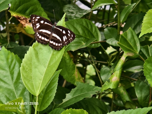
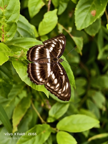
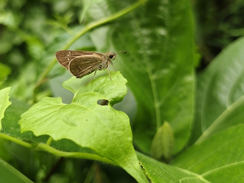
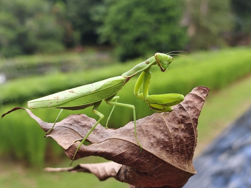
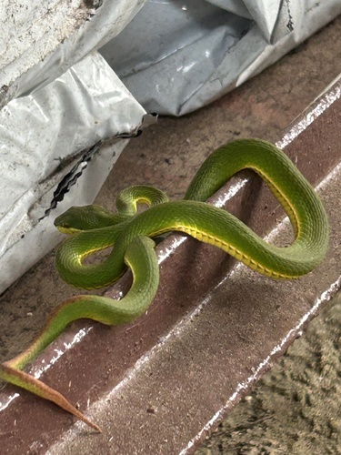


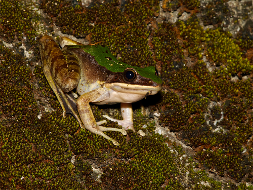
Research-grade observations from iNaturalist (within ~15 mi).
Events
Gallery
Sources
- • Wikipedia
- • Wikidata
- • USGS Earthquake Catalog (global feed)
- • GBIF (Global Biodiversity Information Facility)
- • iNaturalist
- • Open-Meteo / sunrise-sunset.org
- • Wikipedia Pageviews API