Browse / United States / Colorado / Superior
Superior
Coloradotown

Superior
Total population
13,305
Median home value
$903,900
Bachelor's+
Median income
$159,434
Founded
1896
Air quality index
Demographic figures from US Census Bureau · ACS 5-year estimates. Overview below cites Wikipedia and may reference a different year.
City facts
Facts from Wikidata (CC0).
Overview
Superior is a Home Rule Town in Boulder County, Colorado, United States, with a small, uninhabited segment of land area extending into Jefferson County. Superior is a suburban community with a population of 13,361 as of 2024. Located in Colorado's Front Range urban corridor, it is close to the cities of Boulder, Denver, and the foothills of the Front Range mountains.
Read more on WikipediaHistory & geography
History
Superior is located in Colorado’s Front Range on the western side of the Denver Basin and is a part of the Laramie Formation. The formation is known for its deposits of bituminous and lignite coal, which led to the area’s development as a coal mining hub in the late 1800s. The area became known as the “Northern Field,” covering a 20-mile (32.19 km) radius from the city of Boulder, extending through the present-day counties of Adams, Boulder, Broomfield, Gilpin, Jefferson, Larimer and Weld. The land was originally used by Native American people including the Arapaho and Ute. It was territory of the Southern Arapaho in February 1861, when Colorado Territory and Boulder County were created and the tribe was forced to relocate as part of the Treaty of Fort Wise. From the perspective of the United States, the area was on the western edge of the Kansas Territory when gold was discovered near Idaho Springs, spawning the Colorado Gold Rush of 1859. William C. and Emmaline Hake emigrated from their home in Platteville, Wisconsin as a part of the Colorado gold rush and settled along present-day Coal Creek in 1860. Coal was discovered on the Hake homestead in 1864 after heavy floods exposed a seam along the creek. Hake formalized his ownership of the land in 1870 under the Homestead Acts. He founded the Town of Superior in 1896, and it was formally incorporated in 1904. It was reportedly named after the “superior” quality of coal found in the area, a sub-bituminous grade rather than the lignite predominant in the Northern Field. In 1892, Hake contracted with James Hood to build the Industrial Coal Mine just south of Coal Creek and present-day Original Town Superior. The mine was fully operational by 1895. In 1900, the Hakes sold the Industrial Mine to Northern Coal and…
Geography
Superior is at (39.93119, −105.159085) with an elevation of . It is bordered by the city of Louisville to the northeast, the city of Broomfield to the east and south, Rocky Flats National Wildlife Refuge to the south, and Boulder County [https://bouldercolorado.gov/government/departments/open-space-mountain-parks open space] to the west. U.S. Highway 36, also known as the Denver-Boulder Turnpike, runs along the northeast boundary of the town, and Colorado Route 128A runs along the south. A [https://experience.arcgis.com/experience/7f76fce5e14d4e828eef5c263ec65289 current land use map] of Superior is maintained by the Planning and Building Department. According to the United States Census Bureau as of 2021, Superior has a total area of , of which is land and is water.
Excerpted from the corresponding Wikipedia article (CC BY-SA).
Demographics & economy
Race & ethnicity
Source: US Census Bureau — American Community Survey, 5-year estimates.
Geography
Coordinates & boundaries from the US Census TIGER/Line shapefiles.
Climate
Current forecast
Forecast for Superior, CO from NOAA NWS API.
Air quality
Current readings from Open-Meteo Air Quality API (Copernicus CAMS European reanalysis).
Industrial & pollution facilities
Natural hazard risk
Health (adults)
Age-adjusted prevalence estimates from CDC PLACES (latest release).
Walkability
Amenities nearby
Wildlife & biodiversity
Most-observed species
- House FinchHaemorhous mexicanus (P.L.Statius Müller, 1776) · Aves66,997
- Black-capped ChickadeePoecile atricapillus (Linnaeus, 1766) · Aves58,237
- Northern FlickerColaptes auratus (Linnaeus, 1758) · Aves54,760
- American RobinTurdus migratorius Linnaeus, 1766 · Aves53,765
- Red-winged BlackbirdAgelaius phoeniceus (Linnaeus, 1766) · Aves51,862
- MallardAnas platyrhynchos Linnaeus, 1758 · Aves47,717
- Blue JayCyanocitta cristata (Linnaeus, 1758) · Aves46,465
- Canada Goose (canadensis Group)Branta canadensis (Linnaeus, 1758) · Aves45,206
Citizen-science & research observations from the Global Biodiversity Information Facility (GBIF).
Schools
Earthquake history
Most recent
- M 2.7 — 2025-06-137 km SE of Erie, Colorado
- M 2.5 — 2020-10-242 km ESE of Georgetown, Colorado
- M 2.9 — 2019-03-307 km NE of Greeley, Colorado
- M 3 — 2016-11-068 km ENE of Greeley, Colorado
- M 2.7 — 2016-11-068 km ENE of Greeley, Colorado
- M 2.6 — 2016-08-232 km SSE of Eaton, Colorado
Events from the USGS Earthquake Catalog (global) (FDSN Event Web Service).
Photos
Sights & places nearby
Notable people from here


People born within ~10 km, from Wikidata (CC0). Click any name for their Wikipedia article.
Nearby places in Colorado
- Louisville2.8 mi away · pop. 20,786
- Eldorado Springs4.8 mi away
- Lafayette5.4 mi away · pop. 30,602
- Broomfield5.9 mi away · pop. 74,112
- Westminster6.3 mi away · pop. 115,301
- Arvada6.8 mi away · pop. 122,529
- Valmont7.5 mi away · pop. 27
- Boulder8.1 mi away · pop. 106,433
- Leyner8.7 mi away
- Northglenn9.5 mi away · pop. 38,014
- Berkley11 mi away · pop. 10,789
- Twin Lakes11.1 mi away · pop. 8,030
Geography & sun
Elevation, sunrise/sunset and daylight from Open-Meteo. Solar climatology from NASA POWER.
Nearby airports
Public attention
Pageview totals from the Wikimedia Pageviews API.
Books about Superior



Search results from Open Library.
Recent natural events nearby
- Wildfire Moonshine, Albany, WyomingWildfires · 2026-09-07 · 140 mi
- Wildfire 310, Garfield, ColoradoWildfires · 2026-08-06 · 154 mi
- Wildfire Cold Springs, Converse, WyomingWildfires · 2026-08-10 · 194 mi
- Wildfire Swiss Roll, Archuleta, ColoradoWildfires · 2026-08-20 · 197 mi
- Wildfire Post, Las Animas, ColoradoWildfires · 2026-08-11 · 201 mi
- Wildfire Sheep Pen, Las Animas, ColoradoWildfires · 2026-08-12 · 222 mi
- Wildfire LAUGHLIN, Colfax, New MexicoWildfires · 2026-08-25 · 239 mi
Wildfires, storms and other events from NASA EONET (last 12 months, within 250 mi).
Ground air-quality sensors
Recently spotted species
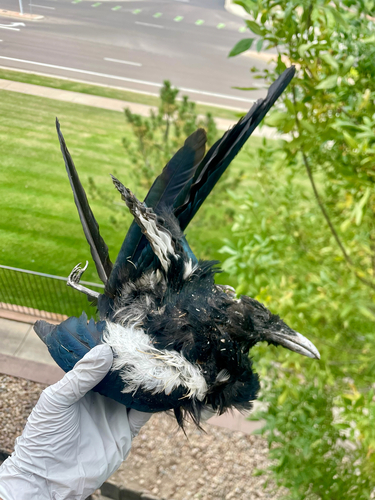
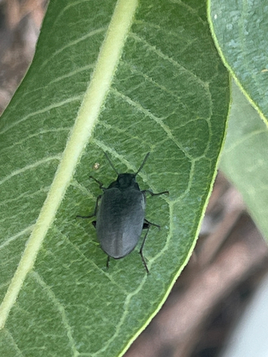
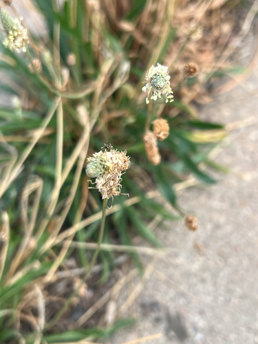
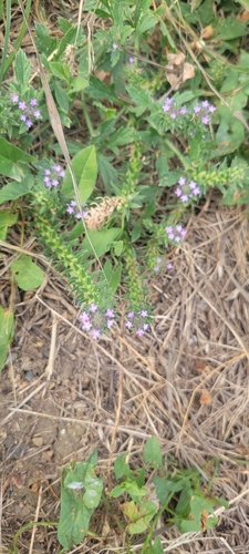
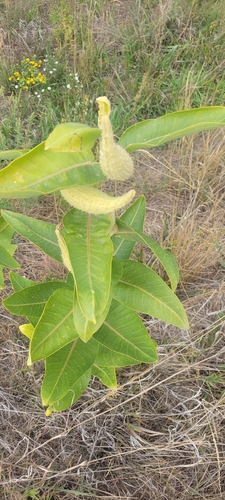
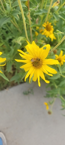

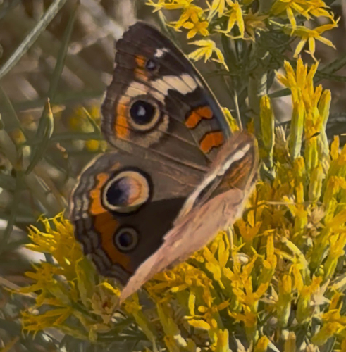
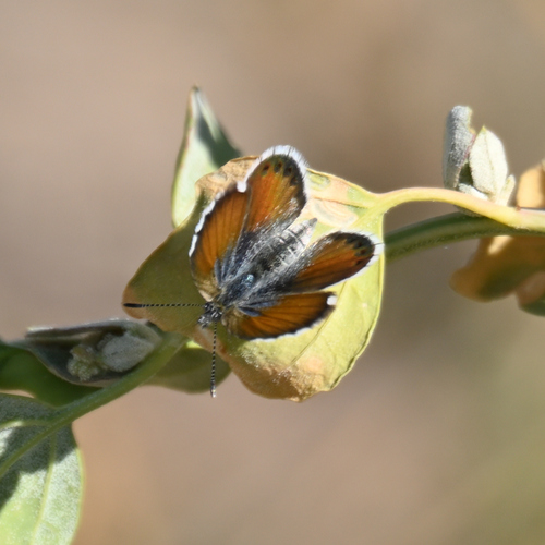
Research-grade observations from iNaturalist (within ~15 mi).
Nearest stream gauge
Events
Gallery
Sources
- • Wikipedia
- • US Census Bureau (ACS 5-year estimates)
- • NOAA National Weather Service
- • Wikidata
- • Open-Meteo Air Quality (CAMS)
- • USGS Earthquake Catalog (global feed)
- • GBIF (Global Biodiversity Information Facility)
- • iNaturalist
- • CDC PLACES
- • Open-Meteo / sunrise-sunset.org
- • Wikipedia Pageviews API
- • Open Library
- • NASA EONET