Browse / United States / Colorado / Valmont
Valmont
ColoradoCDP

Valmont
Total population
27
Median home value
$692,300
Bachelor's+
Median income
$75,357
Demographic figures from US Census Bureau · ACS 5-year estimates. Overview below cites Wikipedia and may reference a different year.
City facts
Facts from Wikidata (CC0).
Overview
Valmont is an unincorporated community and a census-designated place (CDP) located in and governed by Boulder County, Colorado, United States. The CDP is a part of the Boulder, CO Metropolitan Statistical Area. The population of the Valmont CDP was 64 at the United States Census 2020. The land use consists of farming, low-density residential, some commercial, and a few school and church properties. The Boulder post office serves the area.
Read more on WikipediaHistory & geography
History
Valmont was platted in 1865, and named for the valleys and peaks near the town site. A post office called Valmont was established in 1865, and remained in operation until 1901. At 63rd St. and Andrus Rd. are the former Boulder County Poor Farm historic landmark and what is believed to be the former site of Fort Chambers, built in 1864 to shelter white settlers from potential native attacks. Some Company D soldiers who trained at Chambers were part of the infamous Nov. 1864 Sand Creek Massacre, as well as other atrocities. In 2018, the City of Boulder acquired the combined Poor Farm / Fort Chambers property. The current two-room Valmont School on N. 61st Street, replaced the original 1869 building in 1911. The school closed in 1951, has been vacant since the 1980s and was purchased in 2021 by local business owners. With significant bell tower and roof damage and subsequent interior water damage, it remains one of the last few original Valmont structures. One notable feature is the use of ornamental concrete block architecture. Local preservationists hope the damaged building can be restored but it is a costly project and requires approval for some types of work, as well as craftsmen versed in the period techniques. In early 2024, the school was added to the Colorado Preservation group's list of Colorado’s Most Endangered Places. The Valmont train depot is an abandoned station stop for the Union Pacific Railroad's Boulder Branch from Denver to Boulder, Colorado. It was originally built in 1890 to serve as a depot for the railroad's service on the Boulder Branch at milepost 24. Train numbers 515 and 516, the designated train numbers for the branch line, usually served this branch with the use of self-propelled railcars until the passenger service was discontinued in…
Geography
Valmont is located in southeastern Boulder County, east of the city of Boulder, between Boulder Creek to the north and Valmont Butte to the south. Valmont Road runs through the center of the community. The Valmont CDP has an area of , including of water.
Excerpted from the corresponding Wikipedia article (CC BY-SA).
Demographics & economy
Race & ethnicity
Source: US Census Bureau — American Community Survey, 5-year estimates.
Geography
Coordinates & boundaries from the US Census TIGER/Line shapefiles.
Climate
Current forecast
Forecast for Valmont, CO from NOAA NWS API.
Air quality
Industrial & pollution facilities
Natural hazard risk
Health (adults)
Age-adjusted prevalence estimates from CDC PLACES (latest release).
Walkability
Amenities nearby
Wildlife & biodiversity
Most-observed species
- House FinchHaemorhous mexicanus (P.L.Statius Müller, 1776) · Aves59,988
- American RobinTurdus migratorius Linnaeus, 1766 · Aves52,688
- Black-capped ChickadeePoecile atricapillus (Linnaeus, 1766) · Aves52,598
- Red-winged BlackbirdAgelaius phoeniceus (Linnaeus, 1766) · Aves51,531
- Northern FlickerColaptes auratus (Linnaeus, 1758) · Aves49,083
- MallardAnas platyrhynchos Linnaeus, 1758 · Aves47,362
- Canada Goose (canadensis Group)Branta canadensis (Linnaeus, 1758) · Aves46,298
- Blue JayCyanocitta cristata (Linnaeus, 1758) · Aves44,885
Citizen-science & research observations from the Global Biodiversity Information Facility (GBIF).
Schools
Largest nearby schools
- Boulder High SchoolHigh · BOULDER · 2,074 students · 20.3:1 ratio
- Fairview High SchoolHigh · BOULDER · 1,880 students · 21.6:1 ratio
- Centaurus High SchoolHigh · LAFAYETTE · 1,525 students · 18.8:1 ratio
- Monarch High SchoolHigh · LOUISVILLE · 1,523 students · 20.9:1 ratio
- Peak to Peak Charter SchoolOther · LAFAYETTE · 1,450 students · 19.3:1 ratio
- Niwot High SchoolHigh · NIWOT · 1,355 students · 24.2:1 ratio
- Silver Creek High SchoolHigh · LONGMONT · 1,250 students · 23.1:1 ratio
- Twin Peaks Charter AcademyOther · LONGMONT · 807 students · 13.2:1 ratio
Public K–12 schools within ~10 mi from Urban Institute Education Data Portal (NCES Common Core of Data, 2022).
Earthquake history
Most recent
- M 2.7 — 2025-06-137 km SE of Erie, Colorado
- M 2.5 — 2020-10-242 km ESE of Georgetown, Colorado
- M 2.9 — 2019-03-307 km NE of Greeley, Colorado
- M 3 — 2016-11-068 km ENE of Greeley, Colorado
- M 2.7 — 2016-11-068 km ENE of Greeley, Colorado
- M 2.6 — 2016-08-232 km SSE of Eaton, Colorado
Events from the USGS Earthquake Catalog (global) (FDSN Event Web Service).
Photos
Sights & places nearby
Notable people from here


People born within ~10 km, from Wikidata (CC0). Click any name for their Wikipedia article.
Nearby places in Colorado
Geography & sun
Elevation, sunrise/sunset and daylight from Open-Meteo. Solar climatology from NASA POWER.
Nearby airports
Public attention
Pageview totals from the Wikimedia Pageviews API.
Books about Valmont

Search results from Open Library.
Recent natural events nearby
- Wildfire Moonshine, Albany, WyomingWildfires · 2026-09-07 · 133 mi
- Wildfire 310, Garfield, ColoradoWildfires · 2026-08-06 · 153 mi
- Wildfire Cold Springs, Converse, WyomingWildfires · 2026-08-10 · 186 mi
- Wildfire Swiss Roll, Archuleta, ColoradoWildfires · 2026-08-20 · 202 mi
- Wildfire Post, Las Animas, ColoradoWildfires · 2026-08-11 · 208 mi
- Wildfire Rio Blanco, Archuleta, ColoradoWildfires · 2026-07-28 · 223 mi
- Wildfire Sheep Pen, Las Animas, ColoradoWildfires · 2026-08-12 · 229 mi
- Wildfire LAUGHLIN, Colfax, New MexicoWildfires · 2026-08-25 · 246 mi
Wildfires, storms and other events from NASA EONET (last 12 months, within 250 mi).
Ground air-quality sensors
Recently spotted species
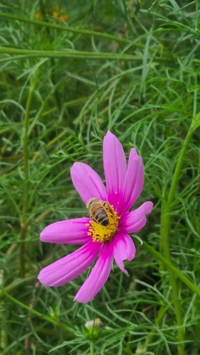
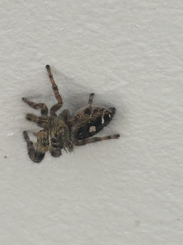
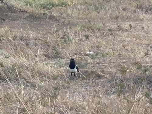
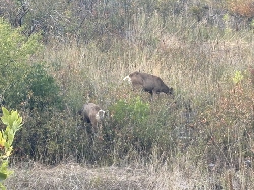
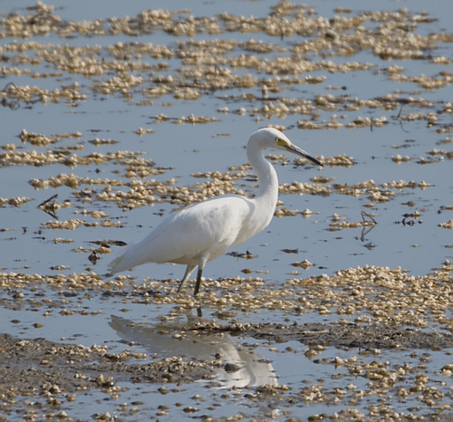
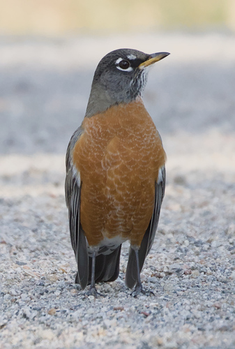
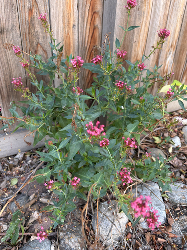
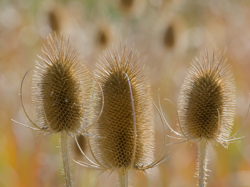

Research-grade observations from iNaturalist (within ~15 mi).
Nearest stream gauge
Events
Gallery
Sources
- • Wikipedia
- • US Census Bureau (ACS 5-year estimates)
- • NOAA National Weather Service
- • Wikidata
- • USGS Earthquake Catalog (global feed)
- • NCES via Urban Institute Education Data Portal
- • GBIF (Global Biodiversity Information Facility)
- • iNaturalist
- • CDC PLACES
- • Open-Meteo / sunrise-sunset.org
- • Wikipedia Pageviews API
- • Open Library
- • NASA EONET