Browse / United States / Connecticut / Waterbury
Waterbury
Connecticutcity

Waterbury
Total population
115,902
Median home value
$248,500
Bachelor's+
Median income
$47,881
Founded
1686
Demographic figures from US Census Bureau · ACS 5-year estimates. Overview below cites Wikipedia and may reference a different year.
City facts
Sister cities
Facts from Wikidata (CC0).
Overview
Waterbury is a city in the U.S. state of Connecticut. Waterbury had a population of 114,403 as of the 2020 Census. The city is 33 miles (53 km) southwest of Hartford and 77 miles (124 km) northeast of New York City. Waterbury is the largest city in the Naugatuck Valley Planning Region and second-largest city in New Haven County.
Read more on WikipediaHistory & geography
History
The land was originally inhabited by the Algonquin bands. According to Samuel Orcutt's history, some Puritan residents of nearby Farmington "found it expedient to purchase the same lands from different tribes, without attempting to decide between their rival claims." The original settlement of Waterbury in 1674 was in the area now known as the Town Plot section. In 1675, the turbulence of King Philip's War caused the new settlement to be vacated until the resumption of peace in 1677. A new permanent location was found across the river to the east along the Mad River. The original Native American inhabitants called the area "Matetacoke" meaning "the interval lands." Thus, the settlement's name was Anglicized to "Mattatuck" in 1673. When the settlement was admitted as the 28th town in the Connecticut Colony in 1686, the name was changed to Waterbury in reference to the numerous streams that emptied into the Naugatuck River from the hills on either side of the valley. At that time, it included all or parts of what later became the towns of Watertown, Plymouth, Wolcott, Prospect, Naugatuck, Thomaston, and Middlebury. Growth was slow during Waterbury's first hundred years. The lack of arable land due to the constant flooding of the Naugatuck River in particular, discouraged many potential settlers. Furthermore, the residents suffered through a great flood in 1691 and an outbreak of disease in 1712. After a century, Waterbury's population numbered just 5,000. Waterbury emerged as an early American industrial power in the 19th century when the city began to manufacture brass, harnessing the waters of the Mad River and Naugatuck River to power the early factories. The new brass industry attracted many immigrant laborers from all over the world, leading to an influx of…
Geography
According to the United States Census Bureau, the city has a total area of , of which is land and , or 1.46%, is water. Waterbury lies in the humid continental climate zone, and normally sees cold, snowy winters and warm, humid summers. Waterbury's neighborhoods are shaped by the history and geography of the city. Ethnic communities distinguish the city's 25 neighborhoods. Clusters of shops at the street corners created villages within the city. For many people, home, work and community life were contained within their neighborhood. Downtown, a short walk away, was "the city", offering live theater, fancy stores, parades and spectacles. * Brooklyn * Bucks Hill * Bunker Hill * Country Club * Crownbrook * Downtown * East End * East Mountain * Fair Lawn * Fairmount * Gilmartin * Hillside * Hopeville * Long Hill * North End * North Square * Overlook * Pine Hill * Robinwood * South End * Town Plot * Washington Hill * Waterville * West Side * WOW / Walnut-Orange-Walsh
Excerpted from the corresponding Wikipedia article (CC BY-SA).
Demographics & economy
Race & ethnicity
Source: US Census Bureau — American Community Survey, 5-year estimates.
Geography
Coordinates & boundaries from the US Census TIGER/Line shapefiles.
Climate
Current forecast
Forecast for Waterbury, CT from NOAA NWS API.
Air quality
Industrial & pollution facilities
Natural hazard risk
Health (adults)
Age-adjusted prevalence estimates from CDC PLACES (latest release).
Walkability
Amenities nearby
Wildlife & biodiversity
Most-observed species
- Tufted TitmouseBaeolophus bicolor (Linnaeus, 1766) · Aves14,318
- Blue JayCyanocitta cristata (Linnaeus, 1758) · Aves13,782
- Black-capped ChickadeePoecile atricapillus (Linnaeus, 1766) · Aves13,474
- Northern CardinalCardinalis cardinalis (Linnaeus, 1758) · Aves13,200
- American RobinTurdus migratorius Linnaeus, 1766 · Aves11,803
- American CrowCorvus brachyrhynchos C.L.Brehm, 1822 · Aves11,643
- Song SparrowMelospiza melodia (A.Wilson, 1810) · Aves11,523
- Mourning DoveZenaida macroura (Linnaeus, 1758) · Aves11,183
Citizen-science & research observations from the Global Biodiversity Information Facility (GBIF).
Schools
Largest nearby schools
- Crosby High SchoolHigh · Waterbury · 1,400 students · 15.9:1 ratio
- John F. Kennedy High SchoolHigh · Waterbury · 1,297 students · 14.4:1 ratio
- Naugatuck High SchoolHigh · Naugatuck · 1,288 students · 14.2:1 ratio
- Bristol Central High SchoolHigh · Bristol · 1,246 students · 13.4:1 ratio
- Cheshire High SchoolHigh · Cheshire · 1,239 students · 11.9:1 ratio
- Wilby High SchoolHigh · Waterbury · 1,157 students · 14.6:1 ratio
- Michael F. Wallace Middle SchoolMiddle · Waterbury · 1,062 students · 11.5:1 ratio
- Pomperaug Regional High SchoolHigh · Southbury · 1,039 students · 11.8:1 ratio
Public K–12 schools within ~10 mi from Urban Institute Education Data Portal (NCES Common Core of Data, 2022).
Earthquake history
Most recent
- M 2.6 — 2015-01-132 km E of Wauregan, Connecticut
- M 3.3 — 2015-01-120 km NE of Wauregan, Connecticut
- M 2.66 — 2014-08-146 km SW of Deep River Center, Connecticut
Events from the USGS Earthquake Catalog (global) (FDSN Event Web Service).
Photos
Sights & places nearby
Notable people from here
Nearby places in Connecticut
Geography & sun
Elevation, sunrise/sunset and daylight from Open-Meteo. Solar climatology from NASA POWER.
Nearby airports
Public attention
Pageview totals from the Wikimedia Pageviews API.
Books about Waterbury


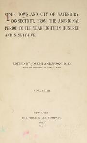

Search results from Open Library.
Recent natural events nearby
Ground air-quality sensors
Recently spotted species
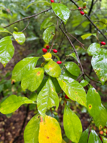
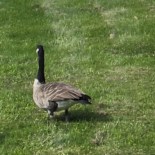
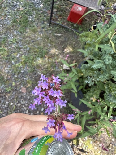
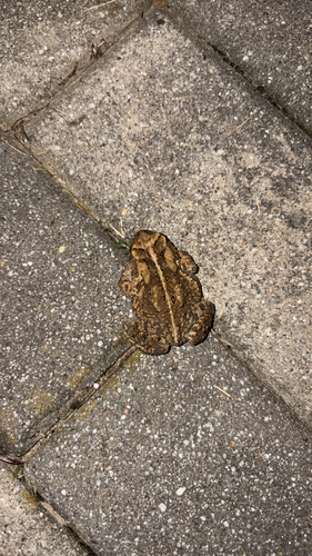

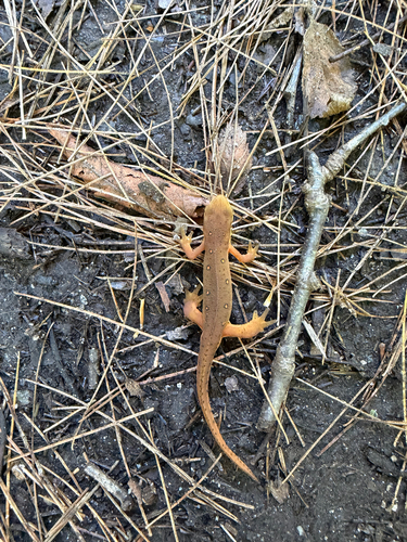
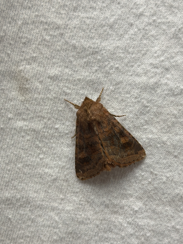
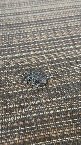
Research-grade observations from iNaturalist (within ~15 mi).
Nearest stream gauge
Events
Gallery
Sources
- • Wikipedia
- • US Census Bureau (ACS 5-year estimates)
- • NOAA National Weather Service
- • Wikidata
- • USGS Earthquake Catalog (global feed)
- • NCES via Urban Institute Education Data Portal
- • GBIF (Global Biodiversity Information Facility)
- • iNaturalist
- • CDC PLACES
- • Open-Meteo / sunrise-sunset.org
- • Wikipedia Pageviews API
- • Open Library