Browse / United States / Connecticut / Watertown
Watertown
ConnecticutCDP

Watertown
Total population
3,897
Median home value
$293,300
Bachelor's+
Median income
$103,200
Founded
1780
Demographic figures from US Census Bureau · ACS 5-year estimates. Overview below cites Wikipedia and may reference a different year.
City facts
Facts from Wikidata (CC0).
Overview
Watertown is a town in Litchfield County, Connecticut, United States. The town is part of the Naugatuck Valley Planning Region. The population was 22,105 at the 2020 census. It is a suburb of Waterbury. The urban center of the town is the Watertown census-designated place, with a population of 3,938 at the 2020 census.
Read more on WikipediaHistory & geography
History
Watertown, before colonization, belonged to the Paugasuck Indians. In that time, the colony was called "Mattatock", though it had several variations in spelling through the years. Colonization of the area today called Watertown began in 1684 when Thomas Judd and other proprietors bought the land as a group. Some years later, in 1893, The Taft School was established in Watertown and has been there ever since.
Geography
Watertown is in southeastern Litchfield County and is bordered to the southeast by the city of Waterbury in New Haven County. Other bordering towns are Middlebury to the south, Woodbury and Bethlehem to the west, Morris to the northwest, and Thomaston to the east. It is in the Eastern Standard time zone. The elevation at the town center is . According to the United States Census Bureau, the town has a total area of , of which are land and , or 1.72%, are water. Oakville, which is often mistaken for a separate town, is in the southeastern part of Watertown. Although Oakville has its own post office and ZIP code, it does not have a charter or town government of its own. Oakville receives all of its town services (police, fire, water and so on) from Watertown.
Excerpted from the corresponding Wikipedia article (CC BY-SA).
Demographics & economy
Race & ethnicity
Source: US Census Bureau — American Community Survey, 5-year estimates.
Geography
Coordinates & boundaries from the US Census TIGER/Line shapefiles.
Climate
Air quality
Industrial & pollution facilities
Natural hazard risk
Health (adults)
Age-adjusted prevalence estimates from CDC PLACES (latest release).
Walkability
Amenities nearby
Wildlife & biodiversity
Most-observed species
- Black-capped ChickadeePoecile atricapillus (Linnaeus, 1766) · Aves16,115
- American CrowCorvus brachyrhynchos C.L.Brehm, 1822 · Aves15,745
- Tufted TitmouseBaeolophus bicolor (Linnaeus, 1766) · Aves15,600
- Blue JayCyanocitta cristata (Linnaeus, 1758) · Aves14,864
- Northern CardinalCardinalis cardinalis (Linnaeus, 1758) · Aves14,383
- Song SparrowMelospiza melodia (A.Wilson, 1810) · Aves13,489
- American RobinTurdus migratorius Linnaeus, 1766 · Aves13,336
- American GoldfinchSpinus tristis (Linnaeus, 1758) · Aves13,196
Citizen-science & research observations from the Global Biodiversity Information Facility (GBIF).
Schools
Largest nearby schools
- Crosby High SchoolHigh · Waterbury · 1,400 students · 15.9:1 ratio
- John F. Kennedy High SchoolHigh · Waterbury · 1,297 students · 14.4:1 ratio
- Naugatuck High SchoolHigh · Naugatuck · 1,288 students · 14.2:1 ratio
- Bristol Central High SchoolHigh · Bristol · 1,246 students · 13.4:1 ratio
- Wilby High SchoolHigh · Waterbury · 1,157 students · 14.6:1 ratio
- Michael F. Wallace Middle SchoolMiddle · Waterbury · 1,062 students · 11.5:1 ratio
- Pomperaug Regional High SchoolHigh · Southbury · 1,039 students · 11.8:1 ratio
- Waterbury Arts Magnet SchoolHigh · Waterbury · 821 students · 16.8:1 ratio
Public K–12 schools within ~10 mi from Urban Institute Education Data Portal (NCES Common Core of Data, 2022).
Earthquake history
Most recent
- M 2.66 — 2014-08-146 km SW of Deep River Center, Connecticut
Events from the USGS Earthquake Catalog (global) (FDSN Event Web Service).
Photos
Sights & places nearby
Notable people from here


People born within ~10 km, from Wikidata (CC0). Click any name for their Wikipedia article.
Nearby places in Connecticut
- Oakville1.8 mi away
- Bethlehem Village5.1 mi away
- Thomaston5.6 mi away
- Woodbury Center5.9 mi away
- Terryville7.9 mi away
- Naugatuck8.6 mi away
- Heritage Village9.8 mi away
- Plantsville11.9 mi away
- Northwest Harwinton12.3 mi away
- Cheshire Village13.4 mi away
- Sandy Hook14.7 mi away
- Torrington16.1 mi away · pop. 35,515
Geography & sun
Elevation, sunrise/sunset and daylight from Open-Meteo. Solar climatology from NASA POWER.
Nearby airports
Public attention
Pageview totals from the Wikimedia Pageviews API.
Books about Watertown


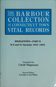

Search results from Open Library.
Recent natural events nearby
Ground air-quality sensors
Recently spotted species
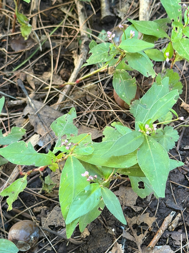
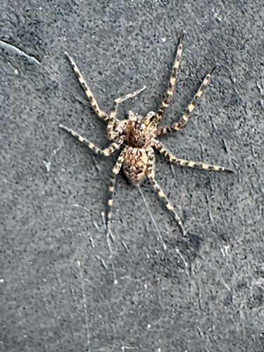
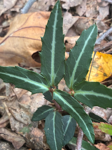
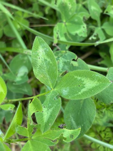

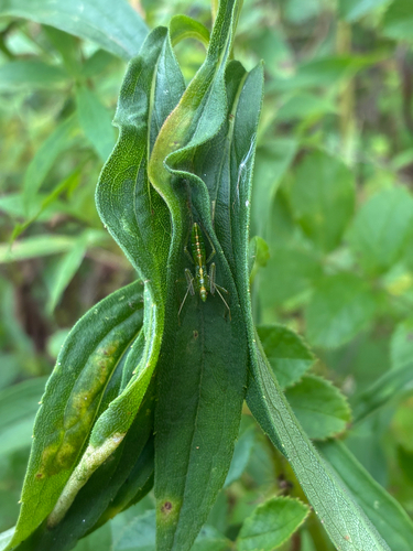
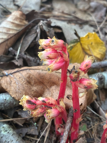

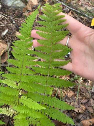
Research-grade observations from iNaturalist (within ~15 mi).
Nearest stream gauge
Events
Gallery
Sources
- • Wikipedia
- • US Census Bureau (ACS 5-year estimates)
- • Wikidata
- • USGS Earthquake Catalog (global feed)
- • NCES via Urban Institute Education Data Portal
- • GBIF (Global Biodiversity Information Facility)
- • iNaturalist
- • CDC PLACES
- • Open-Meteo / sunrise-sunset.org
- • Wikipedia Pageviews API
- • Open Library