Browse / United States / Connecticut / West Hartford
West Hartford
ConnecticutCDP

West Hartford
Total population
63,620
Median home value
$411,000
Bachelor's+
Median income
$129,890
Founded
1854
Demographic figures from US Census Bureau · ACS 5-year estimates. Overview below cites Wikipedia and may reference a different year.
- Wind Advisory · ModerateWind Advisory issued September 25 at 12:30PM EDT until September 27 at 8:00AM EDT by NWS Boston/Norton MA
Source: NOAA National Weather Service.
City facts
Sister cities
Facts from Wikidata (CC0).
Overview
West Hartford is a town in Hartford County, Connecticut, United States, 5 miles (8.0 km) west of downtown Hartford. The town is part of the Capitol Planning Region. The population was 64,083 at the 2020 census.
Read more on WikipediaHistory & geography
History
According to archaeological evidence, the Wampanoag people used West Hartford as one of their winter camps. Fishing and hunting along the Connecticut River, the area of West Hartford offered the Wampanoag people a refuge from the cold winter wind and the river's severe spring flooding. In 1636 Reverend Thomas Hooker led a group of followers from what is now Cambridge, Massachusetts to the "Great River" and established Hartford, Connecticut and the Connecticut Colony. As the colony grew, additional land was needed. In 1672 the Proprietors of Hartford ordered that a Division be created to the West. A total of "72 Long Lots" were laid out between today's Quaker Lane in the East and Mountain Road in the West. The northern boundary was Bloomfield, and the Southern, present day New Britain Avenue. (The western boundary was extended in 1830 to include part of Farmington). In the 1670s, the area was referred to as the "West Division" of Hartford. This remained the official name until 1806 when Connecticut General Assembly started referring to it as "the Society of West Hartford." It is believed that the first homesteader to West Hartford was Stephen Hosmer whose father was in Hooker's first group of Hartford settlers and who later owned just north of the present day Center. In 1679, Stephen Hosmer's father sent him to establish a sawmill on the property. Young Hosmer would eventually go back to live in Hartford, but in his 1693 estate inventory, in West Hartford along with a house and a sawmill are listed. For nearly a century the property would be handed down throughout the family. Evidence still remains of the Town's first industry, as Stephen Hosmer's mill pond and dam can still be found today on the westernmost side of North Main Street. By the time of the American…
Geography
According to the United States Census Bureau, the town has a total area of , of which is land and , or 1.91%, is water. The west side of West Hartford is flanked by the Metacomet Ridge, a mountainous trap rock ridgeline that stretches from Long Island Sound to nearly the Vermont border. Notable features of the Metacomet Ridge in West Hartford include Talcott Mountain and a number of highland water reservoirs belonging to the Metropolitan District, which maintains watershed and recreation resources on the property. The Metacomet Trail traverses the ridge. The town's web site indicates that the highest point in town is above sea level on Talcott (Avon) Mountain. The altitude at Town Hall is . West Hartford is adjacent to and west of Hartford, the state capital, and borders Bloomfield, Newington, New Britain, Farmington, and Avon. West Hartford is approximately southwest of Boston and northeast of New York City. Interstate 84 runs through West Hartford.
Excerpted from the corresponding Wikipedia article (CC BY-SA).
Demographics & economy
Race & ethnicity
Source: US Census Bureau — American Community Survey, 5-year estimates.
Geography
Coordinates & boundaries from the US Census TIGER/Line shapefiles.
Climate
Current forecast
Forecast for West Hartford, CT from NOAA NWS API.
Air quality
Industrial & pollution facilities
Natural hazard risk
Health (adults)
Age-adjusted prevalence estimates from CDC PLACES (latest release).
Walkability
Amenities nearby
Wildlife & biodiversity
Schools
Largest nearby schools
- New Britain High SchoolHigh · New Britain · 2,331 students · 13.3:1 ratio
- Glastonbury High SchoolHigh · Glastonbury · 1,801 students · 12.8:1 ratio
- East Hartford High SchoolHigh · East Hartford · 1,698 students · 12.6:1 ratio
- Conard High SchoolHigh · West Hartford · 1,418 students · 13.1:1 ratio
- Hall High SchoolHigh · West Hartford · 1,408 students · 14.7:1 ratio
- Newington High SchoolHigh · Newington · 1,327 students · 14.4:1 ratio
- Farmington High SchoolHigh · Farmington · 1,263 students · 11.1:1 ratio
- Simsbury High SchoolHigh · Simsbury · 1,217 students · 12.2:1 ratio
Public K–12 schools within ~10 mi from Urban Institute Education Data Portal (NCES Common Core of Data, 2022).
Earthquake history
Photos
Sights & places nearby
Notable people from here


People born within ~10 km, from Wikidata (CC0). Click any name for their Wikipedia article.
Nearby places in Connecticut
- Weatogue6.8 mi away · pop. 2,672
- Windsor Locks12.3 mi away · pop. 12,579
- Terryville14.4 mi away · pop. 5,461
- Portland14.8 mi away · pop. 5,944
- Northwest Harwinton16.7 mi away · pop. 3,088
- Terramuggus17.3 mi away
- Thompsonville17.6 mi away · pop. 7,927
- East Hampton19.3 mi away · pop. 3,347
- Hazardville19.3 mi away · pop. 6,022
- Cheshire Village19.6 mi away
- Torrington19.9 mi away · pop. 35,547
- Oakville21.2 mi away · pop. 9,276
Geography & sun
Elevation, sunrise/sunset and daylight from Open-Meteo. Solar climatology from NASA POWER.
Nearby airports
Public attention
Pageview totals from the Wikimedia Pageviews API.
Books about West Hartford

Search results from Open Library.
Recent natural events nearby
Ground air-quality sensors
Recently spotted species



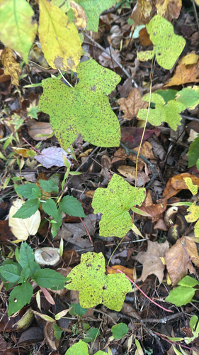
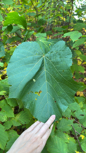
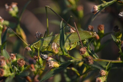
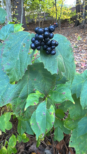


Research-grade observations from iNaturalist (within ~15 mi).
Nearest stream gauge
Live readings from USGS NWIS · measured 2026-10-16 05:00 UTC.
Events
Gallery
Sources
- • Wikipedia
- • US Census Bureau (ACS 5-year estimates)
- • NOAA National Weather Service
- • Wikidata
- • USGS NWIS (water data)
- • NCES via Urban Institute Education Data Portal
- • iNaturalist
- • CDC PLACES
- • Open-Elevation
- • Open-Meteo / sunrise-sunset.org
- • Wikipedia Pageviews API
- • Open Library