Browse / Czechia / Zlín / Boršice
Boršice
Zlínvillage

Boršice
Total population
2,283
Demographic figures from Czech Statistical Office. Overview below cites Wikipedia and may reference a different year.
City facts
Facts from Wikidata (CC0).
Overview
Boršice is a municipality and village in Uherské Hradiště District in the Zlín Region of the Czech Republic. It has about 2,200 inhabitants.
Read more on WikipediaHistory & geography
History
The first written mention of Boršice is from 1220. From 1960 to 1996, the village was named Boršice u Buchlovic to distinguish it from Boršice u Blatnice. On 1 January 1997, the name changed back to Boršice.
Geography
Boršice is located about west of Uherské Hradiště and southwest of Zlín. It lies mostly in the Kyjov Hills, only a small part of the municipal territory in the northwest extends into the Chřiby range and a small part in the southeast extends into the Lower Morava Valley. The highest point is at above sea level. The stream Dlouhá řeka flows through the municipality.
Excerpted from the corresponding Wikipedia article (CC BY-SA).
Geography
Coordinates & boundaries from the US Census TIGER/Line shapefiles.
Climate
Air quality
Walkability
Amenities nearby
Wildlife & biodiversity
Most-observed species
- Great TitParus major Linnaeus, 1758 · Aves736
- Common Wood-PigeonColumba palumbus Linnaeus, 1758 · Aves623
- Barn SwallowHirundo rustica Linnaeus, 1758 · Aves620
- Eurasian BlackbirdTurdus merula Linnaeus, 1758 · Aves612
- MallardAnas platyrhynchos Linnaeus, 1758 · Aves561
- Common BuzzardButeo buteo (Linnaeus, 1758) · Aves488
- Common ChaffinchFringilla coelebs Linnaeus, 1758 · Aves443
- European StarlingSturnus vulgaris Linnaeus, 1758 · Aves440
Citizen-science & research observations from the Global Biodiversity Information Facility (GBIF).
Earthquake history
Most recent
- M 2.8 — 2018-08-171 km ENE of Tren?ianske Teplice, Slovakia
- M 3 — 2006-03-211 km NNW of Bystré, Czechia
- M 3.6 — 2006-03-135 km NNW of Leopoldov, Slovakia
- M 3.1 — 2006-03-093 km SSW of Tren?ianske Teplice, Slovakia
- M 2.6 — 2005-12-315 km ENE of Šternberk, Czechia
- M 2.6 — 2005-05-070 km NNW of Sviadnov, Czechia
Events from the USGS Earthquake Catalog (global) (FDSN Event Web Service).
Photos
Sights & places nearby
Notable people from here
Nearby places in Zlín
- Uherské Hradiště5.2 mi away · pop. 21,737
- Kunovice5.4 mi away · pop. 5,152
- Hulín18.3 mi away · pop. 7,151
- Řetechov18.6 mi away · pop. 215
- Karlovice23.4 mi away · pop. 139
- Ostrata23.7 mi away · pop. 346
- San Bartolomeo in Galdo540.8 mi away · pop. 5,841
- Castelpagano543.5 mi away · pop. 1,699
- Montefalcone di Val Fortore546.5 mi away · pop. 1,837
- Letino546.8 mi away · pop. 783
- Prata Sannita548.8 mi away · pop. 1,699
- Molinara549.9 mi away · pop. 1,536
Geography & sun
Elevation, sunrise/sunset and daylight from Open-Meteo. Solar climatology from NASA POWER.
Nearby airports
Public attention
Pageview totals from the Wikimedia Pageviews API.
Books about this place
Recent natural events nearby
Ground air-quality sensors
Recently spotted species
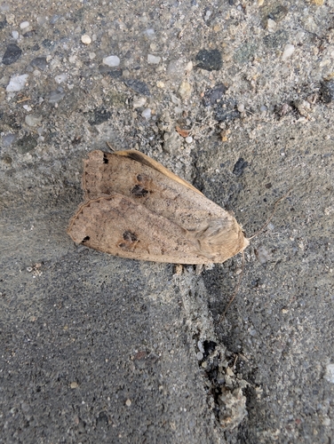
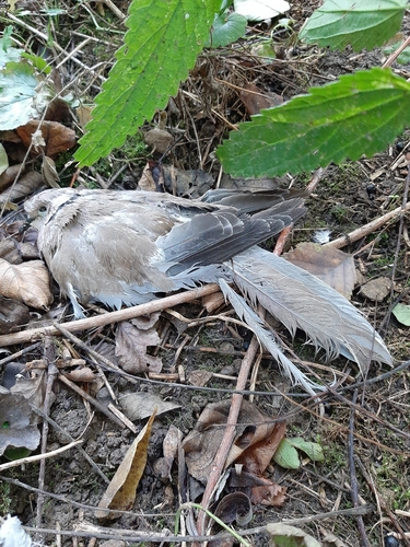
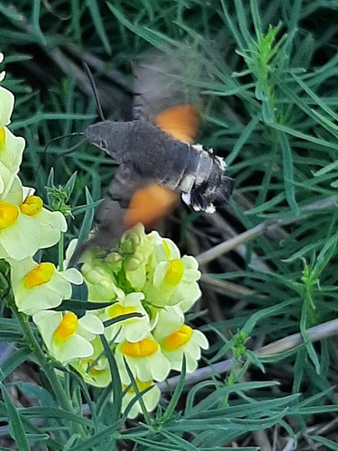

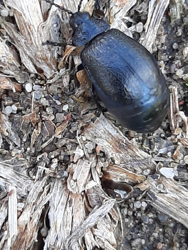
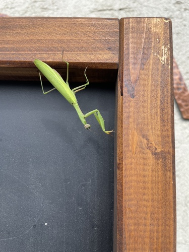

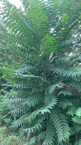
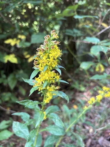
Research-grade observations from iNaturalist (within ~15 mi).
Events
Gallery
Official Identifiers
ČSÚ — Czech Statistical Office
- RÚIAN code
- CZ592064
- Population (Wikidata)
- 2,199
- Wikidata
- Q894334
RÚIAN obec ID via Wikidata P782
Sources
- • Wikipedia
- • Wikidata
- • USGS Earthquake Catalog (global feed)
- • GBIF (Global Biodiversity Information Facility)
- • iNaturalist
- • Open-Meteo / sunrise-sunset.org
- • Wikipedia Pageviews API
- • Wikidata SPARQL (CC0) — population, area, elevation, inception, head of government, Commons image
- • ČSÚ — Czech Statistical Office — RÚIAN obec ID via Wikidata P782