Browse / Czechia / Zlín / Chropyně
Chropyně
Zlíntown

Chropyně
Total population
5,020
Demographic figures from Czech Statistical Office. Overview below cites Wikipedia and may reference a different year.
City facts
Facts from Wikidata (CC0).
Overview
Chropyně is a town in Kroměříž District in the Zlín Region of the Czech Republic. It has about 4,600 inhabitants. The town is located in the Upper Morava Valley.
Read more on WikipediaHistory & geography
History
The first written mention of Chropyně is from 1261, when the settlement was donated to the newly established monastery in Vizovice. During the rule of the Lords of Ludanice in the 15th century, a set of fishponds was built here and Chropyně became the centre of a small estate. The fish farming brought economic prosperity to Chropyně and in 1535, it was promoted to a market town by King Ferdinand I. In 1615–1617, Chropyně was owned by Cardinal Franz von Dietrichstein. From 1617 until the establishment of an independent municipality in 1848, it was a property of Olomouc bishopric. In the 19th century, many large fires damaged Chropyně. A small spa for treatment of musculoskeletal disorders and diseases associated with high blood pressure was founded here in 1950. In 1970, Chropyně was promoted to a town. The town was damaged by the 1997 Central European flood and the spa was completely destroyed.
Geography
Chropyně is located about north of Kroměříž and northwest of Zlín. It lies in the Upper Morava Valley. The Malá Bečva canal and its branches flow through the town. The Malá Bečva flows to the Moštěnka River, which flows along the southeastern municipal border. The Morava River briefly flows along the southern border and its confluence with the Moštěnka is just outside the territory of Chropyně. There are several fishponds in the municipal territory. The largest of them is Zámecký rybník in the centre of the town. The pond area is protected as a national nature reserve and the water caltrop (critically endangered in the Czech Republic) is found here.
Excerpted from the corresponding Wikipedia article (CC BY-SA).
Geography
Coordinates & boundaries from the US Census TIGER/Line shapefiles.
Climate
Air quality
Walkability
Amenities nearby
Wildlife & biodiversity
Most-observed species
- MallardAnas platyrhynchos Linnaeus, 1758 · Aves4,643
- Great TitParus major Linnaeus, 1758 · Aves4,589
- Common BuzzardButeo buteo (Linnaeus, 1758) · Aves4,573
- Eurasian BlackbirdTurdus merula Linnaeus, 1758 · Aves4,259
- Common Wood-PigeonColumba palumbus Linnaeus, 1758 · Aves4,118
- Gray/Purple HeronArdea cinerea Linnaeus, 1758 · Aves4,033
- Hooded CrowCorvus cornix Linnaeus, 1758 · Aves3,837
- Caspian GullLarus cachinnans Pallas, 1811 · Aves3,533
Citizen-science & research observations from the Global Biodiversity Information Facility (GBIF).
Earthquake history
Most recent
- M 2.8 — 2018-08-171 km ENE of Tren?ianske Teplice, Slovakia
- M 3.2 — 2008-12-041 km SW of Doubrava, Czechia
- M 4.1 — 2008-11-222 km SW of Godów, Poland
- M 2.5 — 2008-06-192 km ESE of Píš?, Czechia
- M 2.6 — 2008-04-130 km SW of Doubrava, Czechia
- M 2.8 — 2008-04-122 km NNW of Horní Suchá, Czechia
Events from the USGS Earthquake Catalog (global) (FDSN Event Web Service).
Photos
Sights & places nearby
Notable people from here
Nearby places in Zlín
- Hulín5.2 mi away · pop. 7,151
- Karlovice7.1 mi away · pop. 139
- Ostrata19.1 mi away · pop. 346
- Uherské Hradiště20.5 mi away · pop. 21,737
- Kunovice22.2 mi away · pop. 5,152
- Castelvetere in Val Fortore559.3 mi away · pop. 1,810
- San Bartolomeo in Galdo560.7 mi away · pop. 5,841
- Foiano di Val Fortore565 mi away · pop. 1,551
- Santa Croce del Sannio565.2 mi away · pop. 1,067
- Letino566.4 mi away · pop. 783
- Montefalcone di Val Fortore566.5 mi away · pop. 1,837
- Castelfranco in Miscano567.7 mi away · pop. 1,065
Geography & sun
Elevation, sunrise/sunset and daylight from Open-Meteo. Solar climatology from NASA POWER.
Nearby airports
Public attention
Pageview totals from the Wikimedia Pageviews API.
Books about this place
Recent natural events nearby
Ground air-quality sensors
Recently spotted species
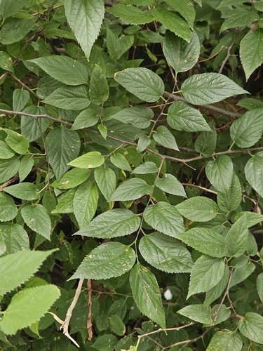
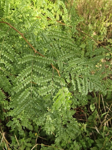
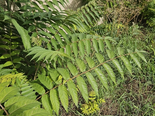
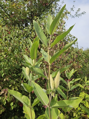
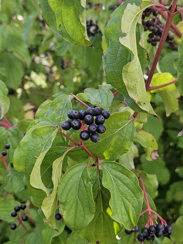
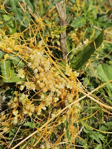
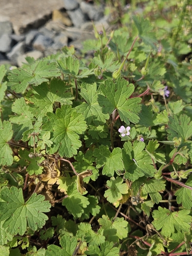
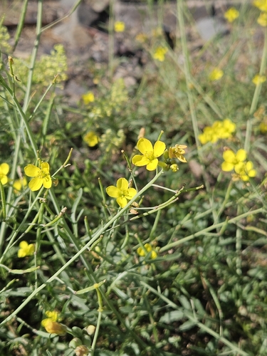
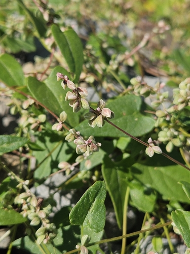
Research-grade observations from iNaturalist (within ~15 mi).
Events
Gallery
Official Identifiers
ČSÚ — Czech Statistical Office
- RÚIAN code
- CZ588512
- Population (Wikidata)
- 4,642
- Wikidata
- Q1017232
RÚIAN obec ID via Wikidata P782
Sources
- • Wikipedia
- • Wikidata
- • USGS Earthquake Catalog (global feed)
- • GBIF (Global Biodiversity Information Facility)
- • iNaturalist
- • Open-Meteo / sunrise-sunset.org
- • Wikipedia Pageviews API
- • ČSÚ — Czech Statistical Office — RÚIAN obec ID via Wikidata P782