Browse / Czechia / Zlín / Kelč
Kelč
Zlínvillage

Kelč
Total population
1,914
Demographic figures from Czech Statistical Office. Overview below cites Wikipedia and may reference a different year.
City facts
Facts from Wikidata (CC0).
Overview
Kelč is a town in Vsetín District in the Zlín Region of the Czech Republic. It has about 2,700 inhabitants. It is located in the Moravian-Silesian Foothills.
Read more on WikipediaHistory & geography
History
The first written mention of Kelč is from 1131, when it was owned by the Olomouc diocese. The greatest development occurred from 1251 during the rule of bishop Bruno von Schauenburg, who had the space around the parish church rearranged, and founded a new town part called "New Kelč" around the new town square. Kelč was severely affected by wars between Jobst of Moravia and Prokop of Moravia in the late 14th century, and by the Hussite Wars in the 15th century. The town recovered in the 16th century and a brewery was founded, which became a major source of income for the townspeople. The prosperity ended with the Thirty Years' War, when the town was burned and looted several times and the population decreased by 80%. Kelč became insignificant and lost its town title. The village was restored the title of town until the end of the 18th century. In the early 19th century, Kelč was known for its production of tobacco pipes. In the second half of the 19th century, branches of furniture-making companies of Jacob & Josef Kohn and Gebrüder Thonet were established in Kelč, however, Kelč was not a very industrial town. With restructuring after World War II, Kelč again lost its town status. The status of the town was restored only in 1994.
Geography
Kelč is located about northwest of Vsetín and northeast of Zlín. It lies in an agricultural landscape in the Moravian-Silesian Foothills. The highest point is at above sea level. The town is situated on the left bank of the Juhyně Stream.
Excerpted from the corresponding Wikipedia article (CC BY-SA).
Geography
Coordinates & boundaries from the US Census TIGER/Line shapefiles.
Climate
Air quality
Walkability
Amenities nearby
Wildlife & biodiversity
Most-observed species
- Great TitParus major Linnaeus, 1758 · Aves1,512
- Eurasian BlackbirdTurdus merula Linnaeus, 1758 · Aves1,421
- Eurasian Blue TitCyanistes caeruleus (Linnaeus, 1758) · Aves993
- Common ChaffinchFringilla coelebs Linnaeus, 1758 · Aves947
- Common BuzzardButeo buteo (Linnaeus, 1758) · Aves870
- YellowhammerEmberiza citrinella Linnaeus, 1758 · Aves869
- Great Spotted WoodpeckerDendrocopos major (Linnaeus, 1758) · Aves867
- Common Wood-PigeonColumba palumbus Linnaeus, 1758 · Aves774
Citizen-science & research observations from the Global Biodiversity Information Facility (GBIF).
Earthquake history
Most recent
- M 2.6 — 2026-04-091 km WNW of Radlin, Poland
- M 3.2 — 2025-01-271 km NE of Radlin, Poland
- M 2.9 — 2024-07-114 km N of Jejkowice, Poland
- M 2.8 — 2023-01-122 km ENE of Karviná, Czechia
- M 2.7 — 2022-04-234 km NE of ?wierklany Górne, Poland
- M 4.2 — 2020-01-132 km SSW of Orzesze, Poland
Events from the USGS Earthquake Catalog (global) (FDSN Event Web Service).
Photos
Sights & places nearby
Notable people from here


People born within ~10 km, from Wikidata (CC0). Click any name for their Wikipedia article.
Nearby places in Zlín
- Ostrata14.5 mi away · pop. 346
- Karlovice14.9 mi away · pop. 139
- Hulín19.4 mi away · pop. 7,151
- Uherské Hradiště32.4 mi away · pop. 21,737
- Kunovice34 mi away · pop. 5,152
- Castelvetere in Val Fortore572.4 mi away · pop. 1,810
- San Bartolomeo in Galdo573.7 mi away · pop. 5,841
- Foiano di Val Fortore578 mi away · pop. 1,551
- Santa Croce del Sannio578.6 mi away · pop. 1,067
- Montefalcone di Val Fortore579.4 mi away · pop. 1,837
- Castelfranco in Miscano580.5 mi away · pop. 1,065
- Letino580.6 mi away · pop. 783
Geography & sun
Elevation, sunrise/sunset and daylight from Open-Meteo. Solar climatology from NASA POWER.
Nearby airports
Public attention
Pageview totals from the Wikimedia Pageviews API.
Books about this place
Recent natural events nearby
Ground air-quality sensors
Recently spotted species
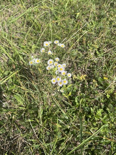
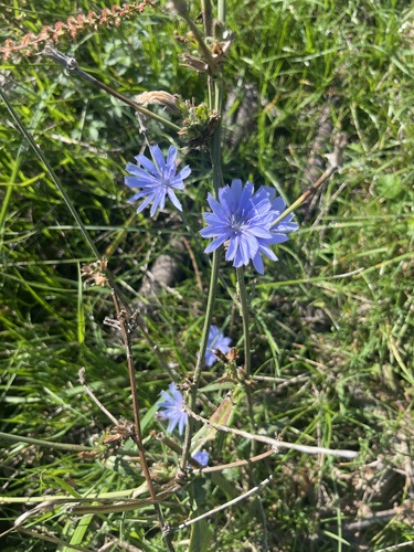
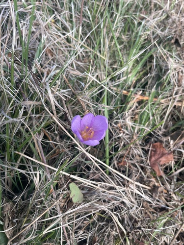
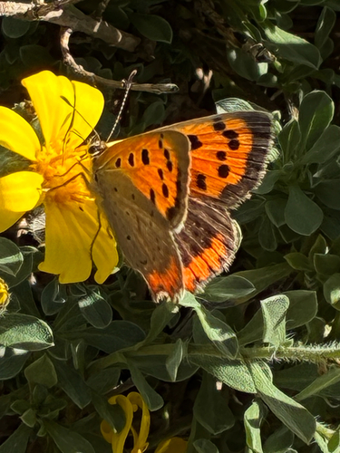
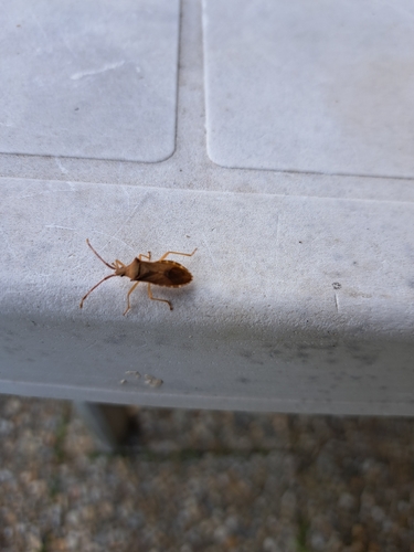
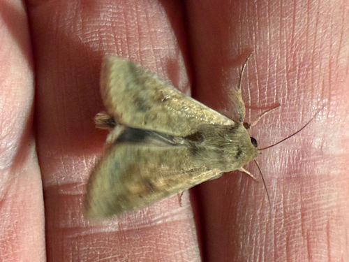

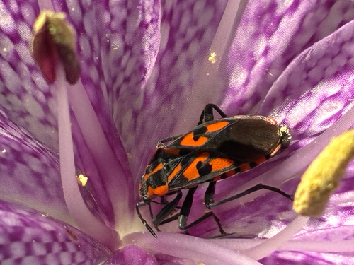
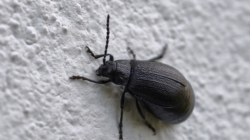
Research-grade observations from iNaturalist (within ~15 mi).
Events
Gallery
Official Identifiers
ČSÚ — Czech Statistical Office
- RÚIAN code
- CZ542989
- Population (Wikidata)
- 2,673
- Wikidata
- Q573642
RÚIAN obec ID via Wikidata P782
Sources
- • Wikipedia
- • Wikidata
- • USGS Earthquake Catalog (global feed)
- • GBIF (Global Biodiversity Information Facility)
- • iNaturalist
- • Open-Elevation
- • Open-Meteo / sunrise-sunset.org
- • Wikipedia Pageviews API
- • Wikidata SPARQL (CC0) — population, area, elevation, inception, head of government, Commons image
- • ČSÚ — Czech Statistical Office — RÚIAN obec ID via Wikidata P782