Browse / Czechia / South Moravian / Lanžhot
Lanžhot
South Moraviantown

Lanžhot
Total population
3,627
Demographic figures from Czech Statistical Office. Overview below cites Wikipedia and may reference a different year.
City facts
Facts from Wikidata (CC0).
Overview
Lanžhot is a town in Břeclav District in the South Moravian Region of the Czech Republic. It has about 3,600 inhabitants. The town proper is located on the Kyjovka River in the Lower Morava Valley. Situated on the border with Austria and Slovakia, Lanžhot is the southernmost Moravian town.
Read more on WikipediaHistory & geography
History
The first written mention of Lanžhot is from 1384.
Geography
Lanžhot is located about southeast of Břeclav and southeast of Brno. It lies in the Lower Morava Valley. The municipal territory is located on the border with Austria and Slovakia. The eastern border (with Slovakia) is formed by the Morava River and the western border (with Austria) is partly formed by the Thaya River. Their confluence forms the tripoint of the Czech Republic, Austria and Slovakia. Other notable watercourses in Lanžhot are the Kyjovka River (which joins the Thaya on the Czech–Austrian border) and the Svodnice Stream (which joins the Kyjovka near the town proper). The area of the confluence of the Morava and Thaya, which also includes many pools, oxbow lakes and channels, is the most valuable ichthyological site in the country. About 80% of native Czech fish species can be found there, and 15% of them live only there.
Excerpted from the corresponding Wikipedia article (CC BY-SA).
Geography
Coordinates & boundaries from the US Census TIGER/Line shapefiles.
Climate
Air quality
Walkability
Amenities nearby
Wildlife & biodiversity
Earthquake history
Photos
Sights & places nearby
Notable people from here


People born within ~10 km, from Wikidata (CC0). Click any name for their Wikipedia article.
Nearby places in South Moravian
- Kostice1.6 mi away · pop. 1,838
- Ladná7 mi away · pop. 1,228
- Josefov8.2 mi away · pop. 376
- Lednice9.1 mi away · pop. 2,135
- Nový Poddvorov9.9 mi away · pop. 181
- Starý Poddvorov10.4 mi away · pop. 900
- Hodonín11.6 mi away · pop. 27,361
- Čejkovice12.6 mi away · pop. 2,564
- Mutěnice12.7 mi away · pop. 3,669
- Sedlec13 mi away · pop. 806
- Vrbice13.5 mi away · pop. 1,096
- Bořetice14 mi away · pop. 1,292
Geography & sun
Elevation, sunrise/sunset and daylight from Open-Meteo. Solar climatology from NASA POWER.
Nearby airports
Public attention
Pageview totals from the Wikimedia Pageviews API.
Books about this place
Recent natural events nearby
Ground air-quality sensors
Recently spotted species
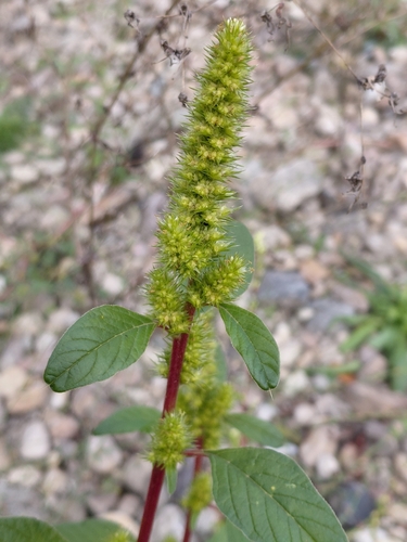
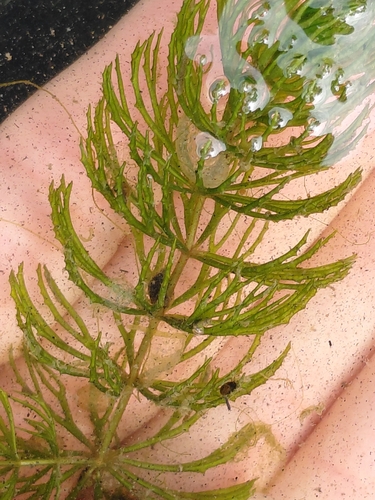
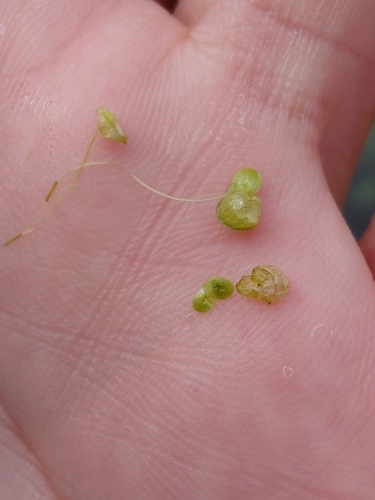
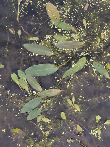
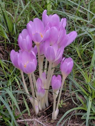
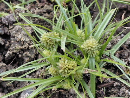
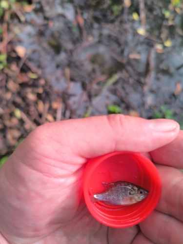
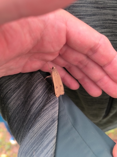
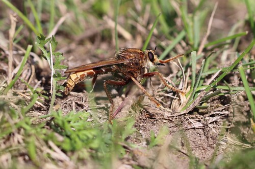
Research-grade observations from iNaturalist (within ~15 mi).
Events
Gallery
Official Identifiers
ČSÚ — Czech Statistical Office
- RÚIAN code
- CZ584622
- Population (Wikidata)
- 3,637
- Wikidata
- Q946780
RÚIAN obec ID via Wikidata P782
Sources
- • Wikipedia
- • Wikidata
- • iNaturalist
- • Open-Meteo / sunrise-sunset.org
- • Wikipedia Pageviews API
- • Wikidata SPARQL (CC0) — population, area, elevation, inception, head of government, Commons image
- • ČSÚ — Czech Statistical Office — RÚIAN obec ID via Wikidata P782