Browse / Denmark / Southern Denmark / Felsted
Felsted
Southern Denmarkvillage
Total population
1,116
Air quality index
Demographic figures from Statistics Denmark. Overview below cites Wikipedia and may reference a different year.
City facts
Overview
Situated in Southern Denmark, Denmark, Felsted is a small village. The population stands at approximately 1,116. Located at 54.979°, 9.504°, Felsted occupies a cool-temperate portion of the northern hemisphere. Solar-resource estimates put the area at about 1,032 kWh/m² of solar irradiance per year with sunshine for roughly 40% of daylight hours. Climatically, locations at this latitude tend to experience long cool seasons and short, mild summers. The sections below expand on demographics, weather, terrain, hazards and nearby points of interest using publicly available datasets.
Summary composed automatically from structured open data on this page. See our Terms for details.
History & geography
History
Felsted is recorded in the Domesday Book of 1086 as Felesteda, Felstede and Phensteda in the Hundred of Hinckford, where it was held by Earl Ælfgar as feu in the time of King Edward. In 1086, Felstead was part of the land of La Trinité of Caen, who held four hides. The fifth hide was no longer in this manor as King William gave three virgates to Roger God-save-the-ladies and the fourth to Geoffrey fitzSalomon. The village has links to Richard Rich, 1st Baron Rich who founded the public school, the Felsted School, in 1564, and is buried in Holy Cross Church. Lord Rich was an important benefactor of the Felsted Church. The school also has links to Oliver Cromwell, who sent his sons there. The valley between Little Dunmow and Felsted was the location for the only sugar beet factory in Essex, which has been redeveloped for housing in a community called Flitch Green.
Geography
Felsted is south of the A120 and is near Braintree, Great Dunmow and Chelmsford. It lies on the north bank of the River Chelmer as it leaves Great Dunmow and turns south towards Chelmsford. * Latitude/Longitude in decimal degrees:51.85656 0.43327 * Latitude/Longitude in degrees, minutes, and seconds:51° 51' 24" North 0° 26' 60" East * Height above sea level:76 m, 249.34 ft, 2992.13 in
Excerpted from the corresponding Wikipedia article (CC BY-SA).
Geography
Coordinates & boundaries from the US Census TIGER/Line shapefiles.
Climate
Air quality
Current readings from Open-Meteo Air Quality API (Copernicus CAMS European reanalysis).
Walkability
Amenities nearby
Wildlife & biodiversity
Most-observed species
- Eurasian BlackbirdTurdus merula Linnaeus, 1758 · Aves7,842
- Common Wood-PigeonColumba palumbus Linnaeus, 1758 · Aves7,251
- Graylag GooseAnser anser (Linnaeus, 1758) · Aves7,045
- MallardAnas platyrhynchos Linnaeus, 1758 · Aves6,642
- Common ChaffinchFringilla coelebs Linnaeus, 1758 · Aves6,161
- Great TitParus major Linnaeus, 1758 · Aves6,012
- Mute SwanCygnus olor (J.F.Gmelin, 1789) · Aves5,724
- Eurasian WrenTroglodytes troglodytes (Linnaeus, 1758) · Aves5,218
Citizen-science & research observations from the Global Biodiversity Information Facility (GBIF).
Earthquake history
Most recent
- M 2.5 — 2003-06-1515 km SE of Nyborg, Denmark
Events from the USGS Earthquake Catalog (global) (FDSN Event Web Service).
Photos
Sights & places nearby
Notable people from here


People born within ~10 km, from Wikidata (CC0). Click any name for their Wikipedia article.
Nearby places in Southern Denmark
- Hostrupskov3.2 mi away · pop. 447
- Stubbæk3.3 mi away · pop. 1,191
- Varnæs3.6 mi away · pop. 464
- Kliplev5 mi away · pop. 1,253
- Aabenraa5.6 mi away · pop. 16,274
- Gråsten5.6 mi away · pop. 4,168
- Blans6.3 mi away · pop. 509
- Rinkenæs6.3 mi away · pop. 1,223
- Holbøl6.4 mi away
- Ullerup6.4 mi away · pop. 416
- Egernsund6.4 mi away · pop. 1,556
- Løjt Kirkeby7.7 mi away · pop. 1,975
Geography & sun
Elevation, sunrise/sunset and daylight from Open-Meteo. Solar climatology from NASA POWER.
Nearby airports
Public attention
Pageview totals from the Wikimedia Pageviews API.
Books about this place
Recent natural events nearby
Ground air-quality sensors
Recently spotted species
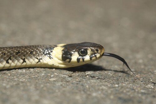
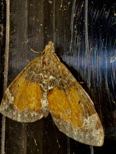
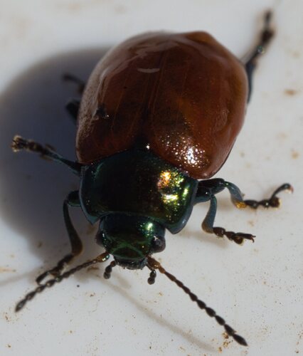
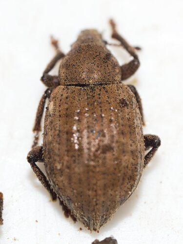
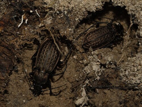
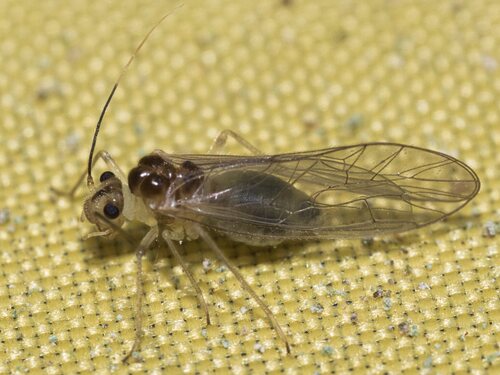
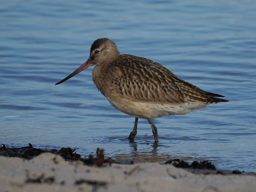
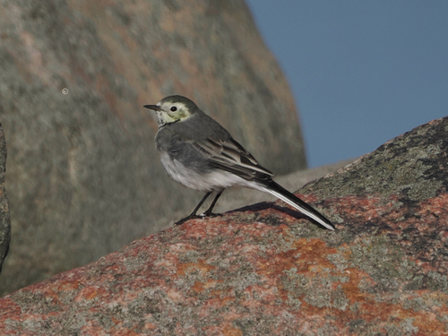
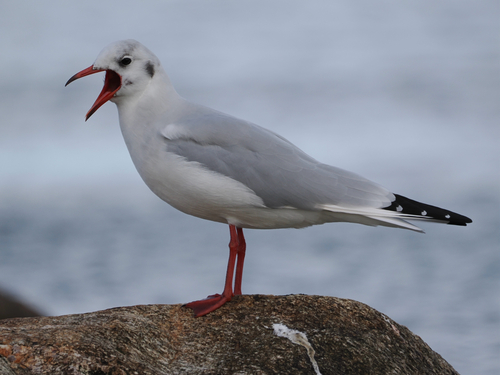
Research-grade observations from iNaturalist (within ~15 mi).
Events
Gallery
Sources
- • Wikipedia
- • Wikidata
- • Open-Meteo Air Quality (CAMS)
- • USGS Earthquake Catalog (global feed)
- • GBIF (Global Biodiversity Information Facility)
- • iNaturalist
- • Open-Meteo / sunrise-sunset.org
- • Wikipedia Pageviews API