Browse / Denmark / Southern Denmark / Varnæs
Varnæs
Southern Denmarkvillage

Varnæs
Total population
464
Demographic figures from Statistics Denmark. Overview below cites Wikipedia and may reference a different year.
City facts
Overview
Varnæs is a town on Sundeved peninsula in Aabenraa Municipality, Region of Southern Denmark, with a population of 408 as of 1 January, 2026. The town lies 2 km north of Bovrup, 7 km northeast of Felsted, 14 km north of Gråsten, and 12 km east of Aabenraa. From 1970 to 2006, Varnæs was a part of Lundtoft Municipality.
Read more on WikipediaHistory & geography
History
The port at Varnæs was, for several years, an important shipping site. Skovsøen, 3 km northeast of the town, acted as a natural harbor. In 1231, when Varnæs was a crown dependency, income from the port was mentioned. Varnæs was also mentioned in the Danish Census Book. The Varnæs Birk had its own birk judge, and was thus an independent jurisdiction until 1769, when the district bailiff also became the birk judge. Trials took place in the open air on a square in the middle of the city. 1 km northwest of the city is Galgebjerg, where executions took place. Petty criminals were tied to one of the two neck irons on the church's belfry, where they could be mocked. Varnæs got a railway stop () with sidings on the Aabenraa County Railway's Aabenraa-Gråsten line (1899-1926). The railway stop was located at the inn east of Varnæsvigvej on the current Varnæsvej, which is partially built on the track's route. Where Smedegade ends at Varnæsvigvej, there is a stone that was erected on Constitution Day in 1930 in memory of the 1920 Schleswig Plebiscites.
Excerpted from the corresponding Wikipedia article (CC BY-SA).
Geography
Coordinates & boundaries from the US Census TIGER/Line shapefiles.
Climate
Air quality
Walkability
Amenities nearby
Wildlife & biodiversity
Earthquake history
Photos
Sights & places nearby
Notable people from here
Nearby places in Southern Denmark
- Felsted3.6 mi away · pop. 1,116
- Blans4 mi away · pop. 509
- Hostrupskov4.6 mi away · pop. 447
- Ullerup5 mi away · pop. 416
- Stubbæk5.7 mi away · pop. 1,191
- Holm5.9 mi away
- Aabenraa6.2 mi away · pop. 16,274
- Loddenhøj6.3 mi away
- Løjt Kirkeby6.7 mi away · pop. 1,975
- Vester Sottrup6.9 mi away · pop. 1,470
- Gråsten7 mi away · pop. 4,168
- Tørsbøl7.6 mi away · pop. 270
Geography & sun
Elevation, sunrise/sunset and daylight from Open-Meteo. Solar climatology from NASA POWER.
Nearby airports
Public attention
Pageview totals from the Wikimedia Pageviews API.
Books about Varnæs

Search results from Open Library.
Recent natural events nearby
Ground air-quality sensors
Recently spotted species

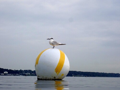
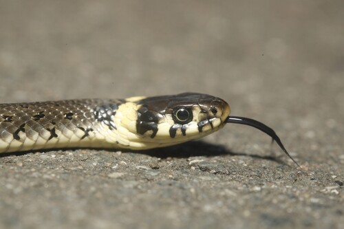
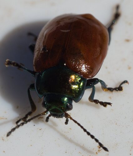
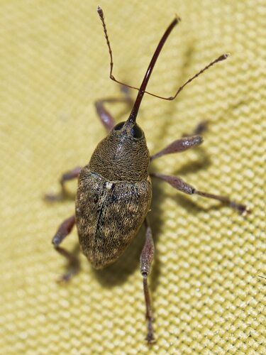

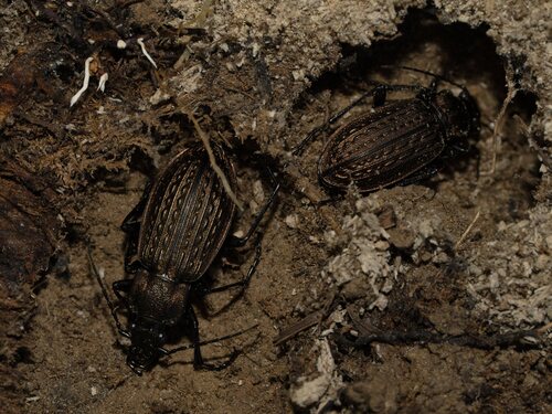
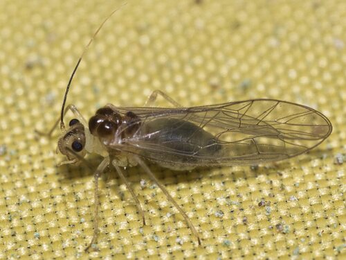
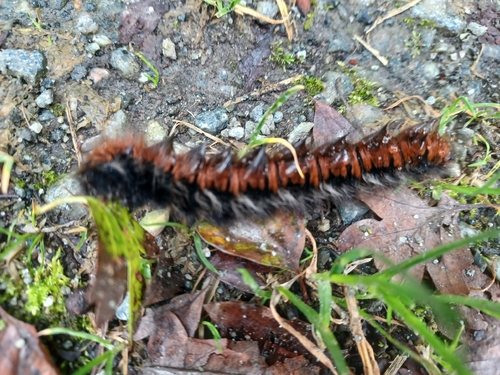
Research-grade observations from iNaturalist (within ~15 mi).
Events
Gallery
Sources
- • Wikipedia
- • iNaturalist
- • Open-Meteo / sunrise-sunset.org
- • Wikipedia Pageviews API
- • Open Library