Browse / Denmark / Capital Region / Hellebæk
Hellebæk
Capital Regionvillage

Hellebæk
Total population
5,549
Air quality index
Demographic figures from Statistics Denmark. Overview below cites Wikipedia and may reference a different year.
City facts
Facts from Wikidata (CC0).
Overview
Hellebæk is a town located on the coast five kilometres northwest of Helsingør, North Zealand, some 40 kilometres north of Copenhagen, Denmark. It has merged with the neighbouring community of Ålsgårde to form an urban area with a population of 5,765.
Read more on WikipediaHistory & geography
History
The name Hellebæk is first recorded as Hellebeck in 1554. The name means "Holy Stream" and refers to the local streams that runs through the town. Frederick II constructed a watermill named Kongens Mølle ("The King's Mill") at the mouth of the stream in 1576. It produced flour for the many soldiers, craftsmen and builders that worked on the expansion of Kronborg Castle which was completed in 1586. A second watermill was built after a few years and a total of seven mills were ultimately powered by the local watercourses. Christian IV established an ironwork at the site in 1597-1600 and from 1603 also a copperwork. The ironworks was chiefly used for the manufacture of canons. The weapons factory closed in 1870. The buildings were then used by Hellebæk Textile Factory which existed until 1977.
Geography
Hellebæk occupies a narrow strip between the Kattegat and forest Teglstrup Hegn. The hinterland consists of hilly terrain that was formed by the Øresund Glacier during the last Ice Age some 10,000 years BC. The landscape is characterized by a number of southeast-to-northwest oriented, parallel streams and many small lakes, bogs and marshy depressions. The two state forests Teglstrup Hegn and Hellebæk Skov have both been designated as Natura 200 sites. In 1974, n 806 ha area of the Hellebækgård estate was protected by the Danish conservation authorities.
Excerpted from the corresponding Wikipedia article (CC BY-SA).
Geography
Coordinates & boundaries from the US Census TIGER/Line shapefiles.
Climate
Air quality
Current readings from Open-Meteo Air Quality API (Copernicus CAMS European reanalysis).
Walkability
Amenities nearby
Wildlife & biodiversity
Most-observed species
- Common BuzzardButeo buteo (Linnaeus, 1758) · Aves18,842
- Red KiteMilvus milvus (Linnaeus, 1758) · Aves14,776
- White-tailed EagleHaliaeetus albicilla (Linnaeus, 1758) · Aves11,326
- Graylag GooseAnser anser (Linnaeus, 1758) · Aves11,106
- Eurasian BlackbirdTurdus merula Linnaeus, 1758 · Aves11,071
- Eurasian Blue TitCyanistes caeruleus (Linnaeus, 1758) · Aves10,712
- Great TitParus major Linnaeus, 1758 · Aves10,651
- Common ChiffchaffPhylloscopus collybita (Vieillot, 1817) · Aves10,577
Citizen-science & research observations from the Global Biodiversity Information Facility (GBIF).
Earthquake history
Most recent
- M 3.5 — 2026-05-207 km WSW of Bjæverskov, Denmark
- M 4.2 — 2012-08-0639 km WSW of Steninge, Sweden
- M 4.3 — 2008-12-167 km NW of Skurup, Sweden
- M 2.6 — 2005-03-1613 km NNW of Kalundborg, Denmark
- M 2.8 — 2005-03-0329 km E of Ebeltoft, Denmark
- M 3 — 2005-02-0329 km NNW of Nykøbing Sjælland, Denmark
Events from the USGS Earthquake Catalog (global) (FDSN Event Web Service).
Photos
Sights & places nearby
Notable people from here


People born within ~10 km, from Wikidata (CC0). Click any name for their Wikipedia article.
Nearby places in Capital Region
- Saunte2.4 mi away · pop. 1,278
- Stenstrup2.8 mi away
- Hornbæk3.6 mi away
- Elsinore3.7 mi away · pop. 47,364
- Gurre3.8 mi away · pop. 419
- Snekkersten4.5 mi away
- Langesø4.7 mi away · pop. 204
- Tikøb5.2 mi away · pop. 706
- Kvistgård6.1 mi away · pop. 1,058
- Tibberup6.3 mi away
- Dronningmølle6.6 mi away
- Esrum6.8 mi away · pop. 521
Geography & sun
Elevation, sunrise/sunset and daylight from Open-Meteo. Solar climatology from NASA POWER.
Nearby airports
Public attention
Pageview totals from the Wikimedia Pageviews API.
Books about this place
Recent natural events nearby
Ground air-quality sensors
Recently spotted species
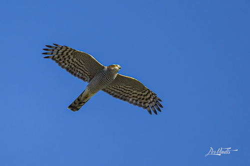
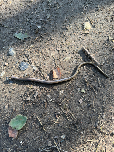
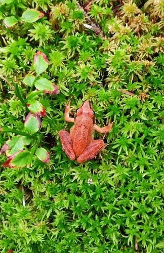
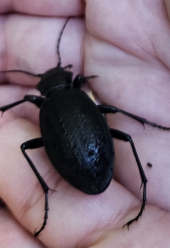
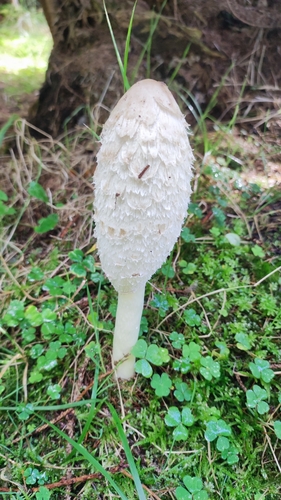
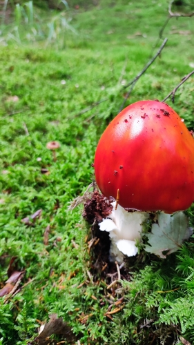
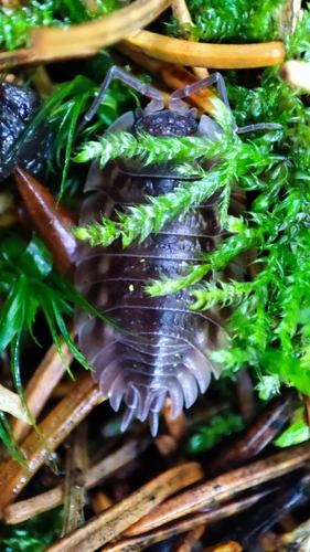
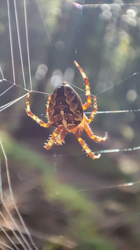
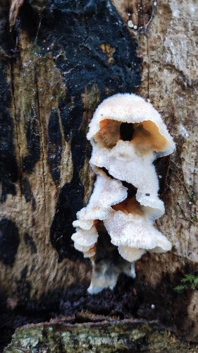
Research-grade observations from iNaturalist (within ~15 mi).
Events
Gallery
Sources
- • Wikipedia
- • Wikidata
- • Open-Meteo Air Quality (CAMS)
- • USGS Earthquake Catalog (global feed)
- • GBIF (Global Biodiversity Information Facility)
- • iNaturalist
- • Open-Meteo / sunrise-sunset.org
- • Wikipedia Pageviews API