Browse / Denmark / Capital Region / Elsinore
Elsinore
Capital Regiontown

Elsinore
Total population
47,364
Demographic figures from Statistics Denmark. Overview below cites Wikipedia and may reference a different year.
City facts
Sister cities
Facts from Wikidata (CC0).
Overview
Helsingør, also known in English as Elsinore, is a coastal city in northeastern Denmark. Helsingør Municipality had a population of 64,446 as of 10 July 2026. Helsingør is located at the narrowest part of the Øresund strait and together with Helsingborg in Sweden, forms the northern reaches of the Øresund Region, centred on Copenhagen and Malmö. Helsingør is a ferry city, with the frequent departures on the HH Ferry route, which connects Helsingør with Helsingborg, 4 km (2.5 mi) across the Øresund.
Read more on WikipediaHistory & geography
History
The city as it is known today was founded in the 1420s by Danish King Eric of Pomerania. He established the Sound Dues in 1429, which were a toll on the use of the Øresund. Although a different toll had existed before this one, the Sound Dues were paid in Helsingør, providing immense wealth to the city. With that income, the king built a castle named Krogen or Ørekrog on the extreme northeastern tip of the island of Zealand. The city expanded around the castle and envelops it today. Krogen was rebuilt and expanded in the 1570s by king Frederik II and renamed Kronborg. All ships had to stop in Helsingør to get their cargo taxed and pay a toll to the Danish Crown, which generated a significant income to the city, which in turn generated trade. The city's growing wealth further fuelled the growth of maritime transport through the Øresund Strait - from 1479 to 1581 the number of ships passing through the strait increased 6.5 times. In 1672, Helsingør had grown to be the third-largest town in Denmark. Up until the middle of the 19th century, Helsingør was among the largest cities in the country. The Sound Dues were abolished in 1857 with the Copenhagen Convention in which all seafaring nations agreed to pay a one-time fee. The abolishment was a huge loss for the city and the following decades saw a slow growth in population. The oldest known fortified building of Helsingør is Flynderborg, an early medieval fortress on a hill just south of the medieval city. Around 1200, the first church, Saint Olaf's Church, was built. A number of convents once surrounded the church, but now all that remains is the church building, today the cathedral of the Diocese of Helsingør. The oldest parts of the cathedral of Helsingør date back to the 13th century and show that the fishing…
Excerpted from the corresponding Wikipedia article (CC BY-SA).
Geography
Coordinates & boundaries from the US Census TIGER/Line shapefiles.
Climate
Air quality
Walkability
Amenities nearby
Wildlife & biodiversity
Most-observed species
- Common BuzzardButeo buteo (Linnaeus, 1758) · Aves17,511
- Red KiteMilvus milvus (Linnaeus, 1758) · Aves12,535
- Eurasian BlackbirdTurdus merula Linnaeus, 1758 · Aves10,629
- Great TitParus major Linnaeus, 1758 · Aves10,361
- Eurasian Blue TitCyanistes caeruleus (Linnaeus, 1758) · Aves10,337
- Common ChiffchaffPhylloscopus collybita (Vieillot, 1817) · Aves10,127
- Common Wood-PigeonColumba palumbus Linnaeus, 1758 · Aves9,401
- Great Spotted WoodpeckerDendrocopos major (Linnaeus, 1758) · Aves9,054
Citizen-science & research observations from the Global Biodiversity Information Facility (GBIF).
Earthquake history
Most recent
- M 3.5 — 2026-05-207 km WSW of Bjæverskov, Denmark
- M 4.2 — 2012-08-0639 km WSW of Steninge, Sweden
- M 4.3 — 2008-12-167 km NW of Skurup, Sweden
- M 2.8 — 2005-03-0329 km E of Ebeltoft, Denmark
- M 3 — 2005-02-0329 km NNW of Nykøbing Sjælland, Denmark
- M 3 — 2005-02-0332 km E of Ebeltoft, Denmark
Events from the USGS Earthquake Catalog (global) (FDSN Event Web Service).
Photos
Sights & places nearby
Notable people from here


People born within ~10 km, from Wikidata (CC0). Click any name for their Wikipedia article.
Nearby places in Capital Region
- Snekkersten2.1 mi away
- Hellebæk3.7 mi away · pop. 5,549
- Gurre3.7 mi away · pop. 419
- Tibberup4.6 mi away
- Kvistgård5.4 mi away · pop. 1,058
- Saunte5.7 mi away · pop. 1,278
- Humlebæk6 mi away · pop. 9,643
- Stenstrup6.2 mi away
- Tikøb6.3 mi away · pop. 706
- Sletten6.4 mi away
- Langesø6.5 mi away · pop. 204
- Hornbæk7 mi away
Geography & sun
Elevation, sunrise/sunset and daylight from Open-Meteo. Solar climatology from NASA POWER.
Nearby airports
Public attention
Pageview totals from the Wikimedia Pageviews API.
Books about this place
Recent natural events nearby
Ground air-quality sensors
Recently spotted species

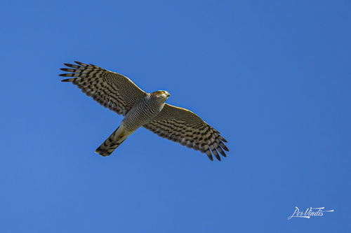
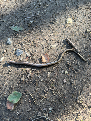

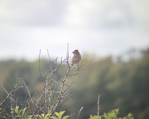
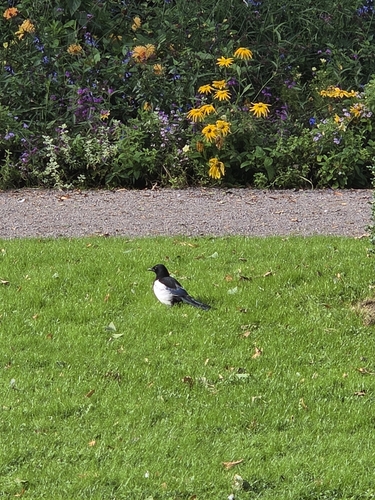
Research-grade observations from iNaturalist (within ~15 mi).
Events
Gallery
Sources
- • Wikipedia
- • Wikidata
- • USGS Earthquake Catalog (global feed)
- • GBIF (Global Biodiversity Information Facility)
- • iNaturalist
- • Open-Meteo / sunrise-sunset.org
- • Wikipedia Pageviews API