Browse / Denmark / Capital Region / Humlebæk
Humlebæk
Capital Regiontown

Humlebæk
Total population
9,643
Air quality index
Demographic figures from Statistics Denmark. Overview below cites Wikipedia and may reference a different year.
City facts
Facts from Wikidata (CC0).
Overview
Humlebæk is a town within the municipality of Fredensborg in North Zealand in Denmark, approximately 35 km north of Copenhagen. Humlebæk is located at the shore to Øresund and has a population of 9,802 (2026).
Read more on WikipediaHistory & geography
History
The history of Humlebæk traces back to the 16th century where the urbarium for Kronborg and Frederiksborg fief mentions a fishing village in 1582–1583 with seven fishermen in the settlement. On 24 July 1700 (O.S.) Swedish forces invaded Denmark at the landing at Humlebæk during the Great Northern War. In 1740 the inn Humlebæk Kro received royal privilege and in 1792 a school was established. The dominating property was Krogerup. Krogerup was originally a farm house mentioned the first time in 1577 but over time the property was expanded because of privileges given to the owners of Krogerup as rewards for loyalty to the King during the wars against Sweden. A manor house was built at Krogerup from 1772 to 1777. Krogerup was acquired by the Danish government in 1942 and the land distributed as part of land reforms. During the Battle of Copenhagen in 1807 the construction of a fortified harbour in Humlebæk was initiated. The harbour was intended to be base of privateer warships and gunboats. The fortified harbour was never finished as the war against the British ended before the finalisation of the constructions. A few years later, in 1810, Humlebæk Harbour was established. During the second half of the 19th century Humlebæk became a popular resort for the population of Copenhagen during summertime. The Danish steamship company Det Forenede Dampskibs-Selskab (The United Steamship Company) opened a ferry line with steamboats sailing up along the coast of Øresund from Copenhagen with a stop in Humlebæk. In 1897, the railway line the "Coast Line" from Copenhagen to Helsingør was opened. The railway line had a stop in the newly established Humlebæk railway station. The opening resulted in a major boost of Humlebæk and its surroundings. The train station was placed a bit…
Excerpted from the corresponding Wikipedia article (CC BY-SA).
Geography
Coordinates & boundaries from the US Census TIGER/Line shapefiles.
Climate
Air quality
Current readings from Open-Meteo Air Quality API (Copernicus CAMS European reanalysis).
Walkability
Amenities nearby
Wildlife & biodiversity
Most-observed species
- Common BuzzardButeo buteo (Linnaeus, 1758) · Aves22,977
- Eurasian BlackbirdTurdus merula Linnaeus, 1758 · Aves17,582
- Great TitParus major Linnaeus, 1758 · Aves16,594
- Common Wood-PigeonColumba palumbus Linnaeus, 1758 · Aves16,123
- Eurasian Blue TitCyanistes caeruleus (Linnaeus, 1758) · Aves15,130
- Great Spotted WoodpeckerDendrocopos major (Linnaeus, 1758) · Aves14,308
- Graylag GooseAnser anser (Linnaeus, 1758) · Aves13,355
- Gray/Purple HeronArdea cinerea Linnaeus, 1758 · Aves13,088
Citizen-science & research observations from the Global Biodiversity Information Facility (GBIF).
Earthquake history
Most recent
- M 3.5 — 2026-05-207 km WSW of Bjæverskov, Denmark
- M 4.2 — 2012-08-0639 km WSW of Steninge, Sweden
- M 4.3 — 2008-12-167 km NW of Skurup, Sweden
- M 2.6 — 2005-03-1613 km NNW of Kalundborg, Denmark
- M 2.8 — 2005-03-0329 km E of Ebeltoft, Denmark
- M 3 — 2005-02-0329 km NNW of Nykøbing Sjælland, Denmark
Events from the USGS Earthquake Catalog (global) (FDSN Event Web Service).
Photos
Sights & places nearby
Notable people from here


People born within ~10 km, from Wikidata (CC0). Click any name for their Wikipedia article.
Nearby places in Capital Region
- Sletten0.5 mi away
- Tibberup1.5 mi away
- Nivå2.2 mi away · pop. 7,821
- Kvistgård2.3 mi away · pop. 1,058
- Ullerød3.2 mi away
- Snekkersten3.9 mi away
- Kokkedal3.9 mi away · pop. 9,000
- Gurre4.1 mi away · pop. 419
- Fredensborg4.9 mi away · pop. 8,611
- Tikøb5.1 mi away · pop. 706
- Hørsholm5.6 mi away · pop. 47,489
- Karlebo5.7 mi away · pop. 227
Geography & sun
Elevation, sunrise/sunset and daylight from Open-Meteo. Solar climatology from NASA POWER.
Nearby airports
Public attention
Pageview totals from the Wikimedia Pageviews API.
Books about this place
Recent natural events nearby
Ground air-quality sensors
Recently spotted species
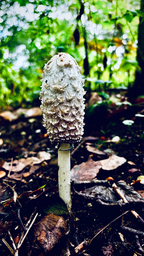
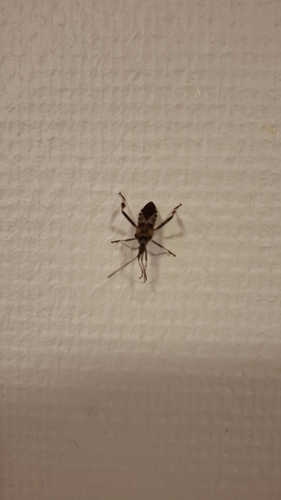
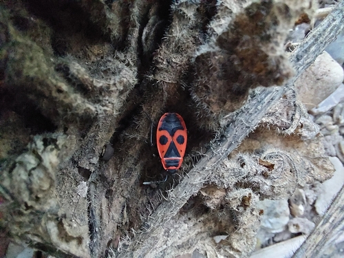
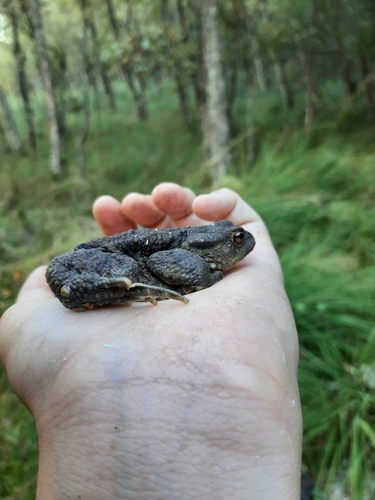
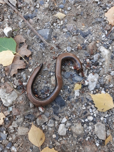
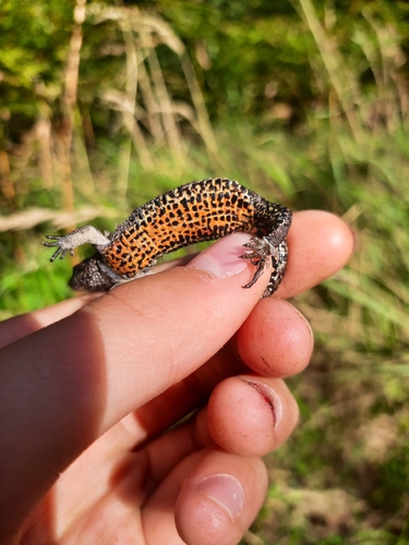

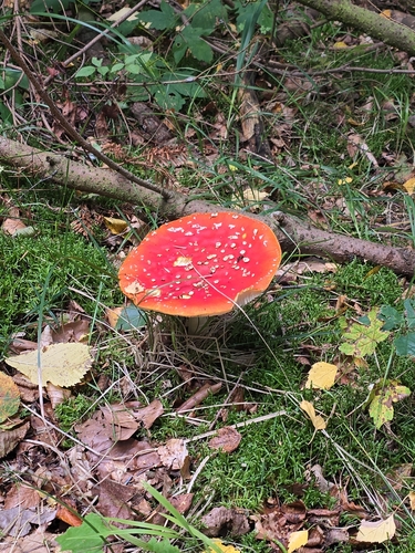
Research-grade observations from iNaturalist (within ~15 mi).
Events
Gallery
Sources
- • Wikipedia
- • Wikidata
- • Open-Meteo Air Quality (CAMS)
- • USGS Earthquake Catalog (global feed)
- • GBIF (Global Biodiversity Information Facility)
- • iNaturalist
- • Open-Meteo / sunrise-sunset.org
- • Wikipedia Pageviews API