Browse / Ethiopia / Oromia / Jimma
Jimma
Oromiacity

Jimma
Total population
207,573
Demographic figures from Ethiopian Statistical Service. Overview below cites Wikipedia and may reference a different year.
City facts
Facts from Wikidata (CC0).
Overview
Jimma is the largest city in southwestern Oromia Region, Ethiopia. It is a special zone of the Oromia Region and is surrounded by Jimma Zone. It has a latitude and longitude of 7°40′N 36°50′E. Prior to the 2007 census, Jimma was reorganized administratively as a special Zone.
Read more on WikipediaHistory & geography
History
== History == What is now Jimma's northern suburb of Jiren was the capital of the Kingdom of Jimma. Originally named Hirmata, the city owed its importance in the 19th century to being located on the caravan route between Shewa and Kaffa, as well as being only six miles from the palace of Abba Jifar II. According to Donald Levine, in the early 19th century the market attracted thousands of people from neighboring regions: "Amhara from Gojjam and Shoa, Oromo from all the Gibe Kingdoms and numerous representatives of the Lacustrine and Omotic groups, including Timbaro, Qabena, Kefa, Janjero, Walemo, Konta and several others". At the very beginning of the 20th century, the German explorer Oscar Neumann visited Jimma on his journey from the Somali coast through Ethiopia to the Sudan. As he observed, “Jimma is almost the richest land of Abyssinia; the inhabitants are pure, well-built Galla; they are nearly all Mohammedans, as is their king, Abba Jifar, a very clever man, who submitted to Menelik at the right time and, therefore, retained his country” The present town was developed on the Awetu River by the Italian colonial regime in the 1930s. At that time, with the goal of weakening the native Ethiopian Church, the Italians intended to make Jimma an important center of Islamic learning, and founded an academy to teach fiqh. In the East African fighting of World War II after their main force was defeated, the Italian garrison at Jimma was one of the last to surrender, holding out til July 1941. Following the death of Abba Jifar II of Jimma in 1932, the Kingdom of Jimma was formally absorbed into Ethiopia. During the reorganization of the provinces in 1942, Jimma vanished into Kaffa Province." Herbert S. Lewis states that in the early 1960s it was "the greatest market…
Excerpted from the corresponding Wikipedia article (CC BY-SA).
Geography
Coordinates & boundaries from the US Census TIGER/Line shapefiles.
Climate
Air quality
Walkability
Amenities nearby
Wildlife & biodiversity
Earthquake history
Photos
Sights & places nearby
Notable people from here


People born within ~10 km, from Wikidata (CC0). Click any name for their Wikipedia article.
Nearby places in Oromia
Geography & sun
Elevation, sunrise/sunset and daylight from Open-Meteo. Solar climatology from NASA POWER.
Nearby airports
Public attention
Pageview totals from the Wikimedia Pageviews API.
Books about Jimma
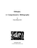
Search results from Open Library.
Recent natural events nearby
Ground air-quality sensors
Recently spotted species
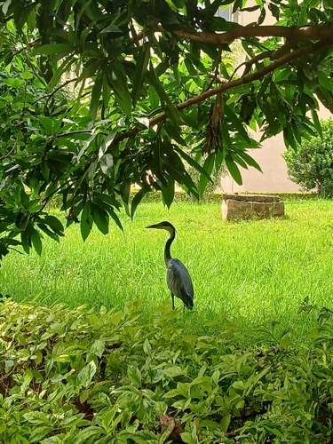
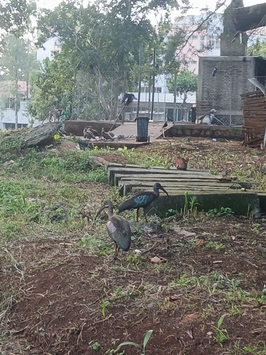
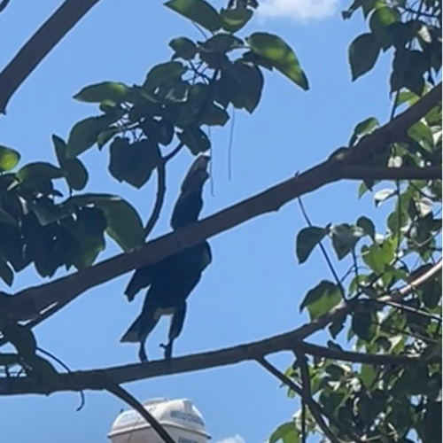
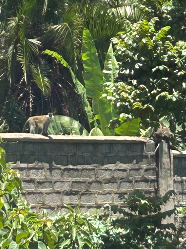
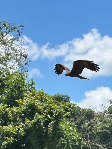
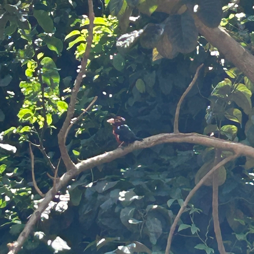
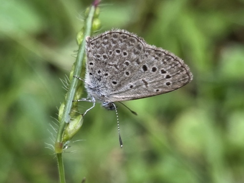
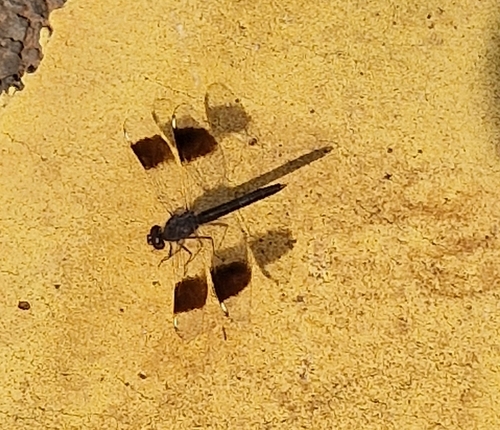
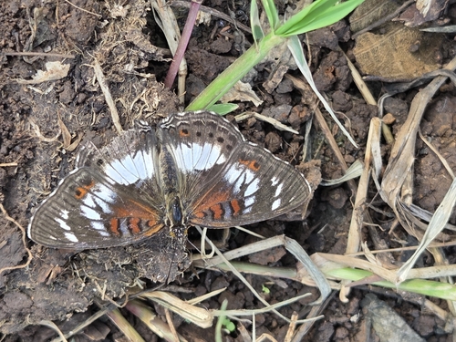
Research-grade observations from iNaturalist (within ~15 mi).
Events
Gallery
Sources
- • Wikipedia
- • Wikidata
- • iNaturalist
- • Open-Meteo / sunrise-sunset.org
- • Wikipedia Pageviews API
- • Open Library