Browse / Finland / Pirkanmaa / Aitolahti
Aitolahti
Pirkanmaatown

Aitolahti
Demographic figures from Statistics Finland. Overview below cites Wikipedia and may reference a different year.
City facts
Overview
Aitolahti is a former municipality in Pirkanmaa region, Finland. It was consolidated in 1966 with Tampere, and at the same time Tampere got new districts: Sorila, Nurmi and Aitoniemi. Until 1947, the neighboring municipalities of Aitolahti included Messukylä, which was consolidated with the city of Tampere. Highway 9 (E63) between Tampere and Jyväskylä and the regional road 338 between Tampere and Ruovesi pass through Aitolahti.
Read more on WikipediaHistory & geography
Geography
Coordinates & boundaries from the US Census TIGER/Line shapefiles.
Climate
Air quality
Walkability
Amenities nearby
Wildlife & biodiversity
Earthquake history
Photos
Sights & places nearby
Notable people from here
Nearby places in Pirkanmaa
- Pöytäniemi30.4 mi away
- Ruovesi31 mi away · pop. 4,208
- Jørpeland633.5 mi away · pop. 7,815
- Jøssingfjord644.6 mi away
- Ålgård646.9 mi away · pop. 12,164
- Randaberg647.9 mi away · pop. 9,609
- Haugesund648.4 mi away · pop. 47,346
- Hestnes652.1 mi away
- Leidland652.3 mi away
- Bryne654.3 mi away · pop. 13,459
- Novo Zvečevo1134.8 mi away · pop. 30
- Gornji Vrhovci1139.1 mi away
Geography & sun
Elevation, sunrise/sunset and daylight from Open-Meteo. Solar climatology from NASA POWER.
Nearby airports
Public attention
Pageview totals from the Wikimedia Pageviews API.
Books about this place
Recent natural events nearby
Ground air-quality sensors
Recently spotted species
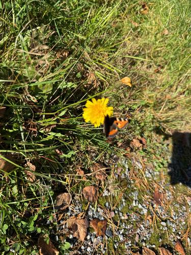
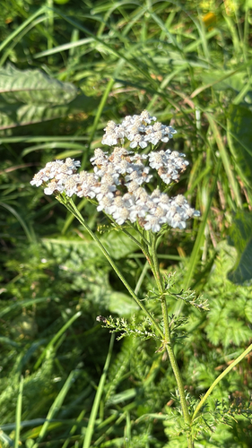
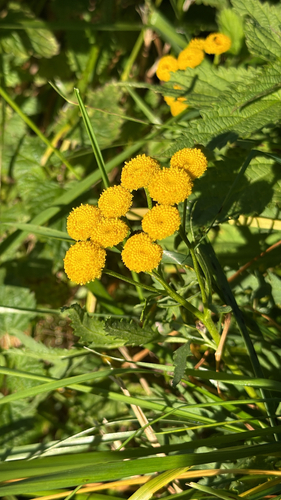
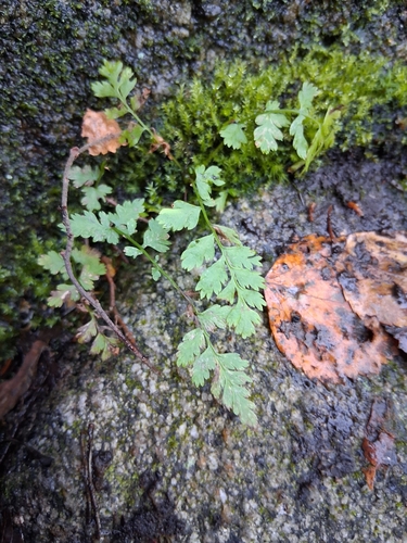
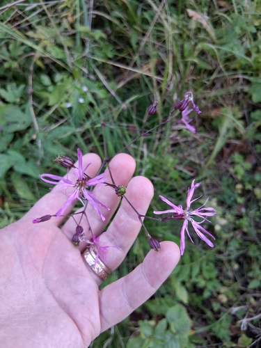

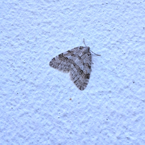
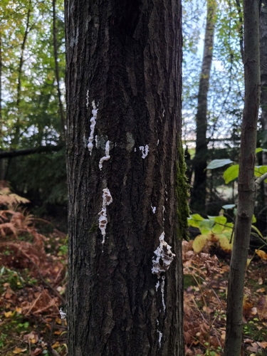

Research-grade observations from iNaturalist (within ~15 mi).
Events
Gallery
Sources
- • Wikipedia
- • iNaturalist
- • Open-Meteo / sunrise-sunset.org
- • Wikipedia Pageviews API
- • Wikidata SPARQL (CC0) — population, area, elevation, inception, head of government, Commons image