Browse / Finland / Central Finland / Kintaus
Kintaus
Central Finlandvillage

Kintaus
Total population
750
Demographic figures from Statistics Finland. Overview below cites Wikipedia and may reference a different year.
City facts
Overview
Kintaus is a village and urban area in Petäjävesi, Finland. The village is located in eastern Petäjävesi, on the shores of the lake Ala-Kintaus, as well as along the Finnish national road 18/23 and the Haapamäki–Jyväskylä railway. The distance to the center of Petäjävesi is 8 kilometers (5.0 mi), while the distance to the regional center Jyväskylä is 24 kilometers (15 mi).
Read more on WikipediaHistory & geography
History
Before being settled in the mid-16th century, the lands of modern Kintaus were held as hunting grounds by land-owning farmers from Pälkäne and Akaa. At least two possessions are known from a listing made in the early 1550s: one belonging to Olavi Pekanpoika from the village of Töykänä (Pälkäne) and another to Lauri Pekanpoika from Taipale (Akaa). The village of Kintaus was established in 1554 by three Savonian settlers named Heikki Simonen, Paavo Minkkinen and Mikko Marttinen. However, by 1561 all three had left the area, now inhabited by Pekka Honkonen, Niilo Honkonen, Juho Silvonen and Paavo Metsonen. By 1572, only Paavo Metsonen had remained in Kintaus, now accompanied by three new settlers named Niilo Pekkanen, Antti Räihä and Olli Tourunen. It was around this time when the farms of Kintaus acquired their later names, respectively Metsola, Pekkala, Räihä and Rautiala. Five new farms were established in the early 17th century: Veitsikkä and Vasikkala in 1607, Kytölä and another Veitsikkä in 1611, and one with an unknown name in 1617. Out of these farms, Metsola (Ahola), Rautiala, Vasikkala and Kytölä are located in modern Ylä-Kintaus. The amount of farms in Kintaus grew quickly during the 18th and 19th centuries, as old farms were divided and new ones were established on uninhabited lands during the Great Partition. By 1860, there were 29 independent farms and 45 tenant farms in the village. The Koskensaari ironworks were established in 1850 after Alexander Juslén, who had until then owned the Korkeakoski ironworks in Pielavesi, moved to Kintaus. Initially wrought iron was produced using local bog iron, but after the ironworks were modernized in 1876, pig iron imported from Sweden began to be used instead. Mechanical production of nails and horseshoes began in…
Excerpted from the corresponding Wikipedia article (CC BY-SA).
Geography
Coordinates & boundaries from the US Census TIGER/Line shapefiles.
Climate
Air quality
Walkability
Amenities nearby
Wildlife & biodiversity
Most-observed species
- Common ChaffinchFringilla coelebs Linnaeus, 1758 · Aves891
- BrimstoneGonepteryx rhamni (Linnaeus, 1758) · Insecta665
- Great TitParus major Linnaeus, 1758 · Aves603
- Whooper SwanCygnus cygnus (Linnaeus, 1758) · Aves575
- RedwingTurdus iliacus Linnaeus, 1758 · Aves568
- Willow WarblerPhylloscopus trochilus (Linnaeus, 1758) · Aves557
- Siberian Flying SquirrelPteromys volans (Linnaeus, 1758) · Mammalia523
- Eurasian Blue TitCyanistes caeruleus (Linnaeus, 1758) · Aves506
Citizen-science & research observations from the Global Biodiversity Information Facility (GBIF).
Earthquake history
Events from the USGS Earthquake Catalog (global) (FDSN Event Web Service).
Photos
Sights & places nearby
Notable people from here


People born within ~10 km, from Wikidata (CC0). Click any name for their Wikipedia article.
Nearby places in Central Finland
- Alvajärvi80.9 mi away
- Zarnevo1290.6 mi away · pop. 1,300
- Pereiro2209.6 mi away · pop. 62
- Martim Longo2214.5 mi away · pop. 457
- Azinhal2215.9 mi away · pop. 271
- Vaqueiros2216.8 mi away · pop. 58
- Monte Gordo2221.9 mi away
- Conceição2228.1 mi away · pop. 1,010
- Cabanas de Tavira2228.6 mi away
- Santo Estêvão2232.1 mi away
- Santa Luzia2232.2 mi away · pop. 1,490
- Querença2234.9 mi away · pop. 35
Geography & sun
Elevation, sunrise/sunset and daylight from Open-Meteo. Solar climatology from NASA POWER.
Nearby airports
Public attention
Pageview totals from the Wikimedia Pageviews API.
Books about this place
Recent natural events nearby
Ground air-quality sensors
Recently spotted species
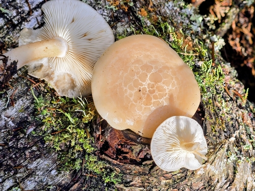
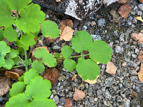
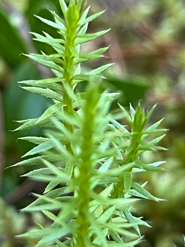
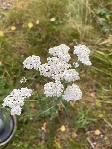
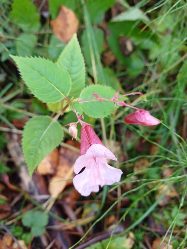
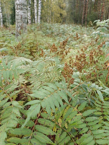
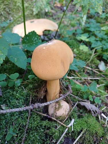
Research-grade observations from iNaturalist (within ~15 mi).
Events
Gallery
Geotagged photos within ~6 miles of Kintaus, from Wikimedia Commons contributors.
 0.1 mi
 0.1 mi
 0.1 mi
 0.1 mi
 0.1 mi
 0.1 mi
 0.1 mi
 0.1 mi
 0.1 mi
 0.1 mi
 0.1 mi
 0.1 mi
 0.1 mi
 0.1 mi
 0.1 mi
 0.1 mi
 0.1 mi
 0.1 mi
 0.1 mi
 0.1 mi
 0.1 mi
 0.1 mi
 0.1 mi
 0.1 mi
Photos via Wikimedia Commons — see each image page for license & attribution.
Sources
- • Wikipedia
- • Wikimedia Commons
- • Wikidata
- • USGS Earthquake Catalog (global feed)
- • GBIF (Global Biodiversity Information Facility)
- • iNaturalist
- • Open-Meteo / sunrise-sunset.org
- • Wikipedia Pageviews API
- • Wikidata SPARQL (CC0) — population, area, elevation, inception, head of government, Commons image