Browse / Finland / Central Finland / Pihtipudas
Pihtipudas
Central Finlandtown

Pihtipudas
Total population
4,492
Demographic figures from Statistics Finland. Overview below cites Wikipedia and may reference a different year.
City facts
Sister cities
Facts from Wikidata (CC0).
Overview
Pihtipudas is a municipality of Finland. Pihtipudas is known for the annual javelin carnival and for Lauri "Tahko" Pihkala, the inventor of Pesäpallo, the Finnish variant of baseball.
Read more on WikipediaHistory & geography
History
The area has been inhabited since the prehistoric period, evidenced by a range of Stone Age sites in the municipality, including: Niemet Keidas and Halmeniemi in the area of Muurasjärvi village; Kivikko; Pitkänen; Männikkö; Viipylä; Metsälä; Koivukangas; Rimpisuo; Santaharju; Teen; and Auhtola. Prehistoric artifacts recovered from the area include stone axes, awls, scrapers and other tools. The so-called 'Village of Rönni' at Rönnynkylä on the north-east shore of Saanijärvi has been dated to approximately 5,000 BC in the Mesolithic period and contained the bones of a small-sized dog, one of the earliest discovered in Finland. Fragments of a clay figurine characterized as Comb ware have also been retrieved from a Mesolithic site at Pihtipudas. Archaeological evidence for Neolithic settlement in the area is rare, but palaeoecological data shows increasing signs of sporadic cultivation during the late Neolithic and the beginning of the Bronze Age between 2500 and 2100 BC, with pollen evidence for the first cultivation recovered from Pihtipudas, Keuruu, and Saarijarvi. Other evidence for human activity in the Neolithic period includes a zoomorphic stone mace, possibly carved with a fish or amphibian, believed to be associated with the arrival in Central Finland of cattle herding groups in the 3rd millennium BC. The prehistoric presence of the Sami people in the region are evidenced by two tampered cairns at Vaaksianniemi and Hameensaari. These were excavated in the 1980s and 1990s and contained bronze sheets with high elements of tin, dating them to the Early Metal Period of Central Finland. The Pihtipudas region area was inhabited by Sámi peoples until the Middle Ages. The first known fixed settlement was established in the early 16th century with the first permanent…
Excerpted from the corresponding Wikipedia article (CC BY-SA).
Geography
Coordinates & boundaries from the US Census TIGER/Line shapefiles.
Climate
Air quality
Walkability
Amenities nearby
Wildlife & biodiversity
Most-observed species
- Common ChaffinchFringilla coelebs Linnaeus, 1758 · Aves362
- Tree PipitAnthus trivialis (Linnaeus, 1758) · Aves166
- Willow WarblerPhylloscopus trochilus (Linnaeus, 1758) · Aves127
- Scots PinePinus sylvestris L. · Pinopsida119
- Hertelidea botryosa (Fr.) Printzen & KantvilasHertelidea botryosa (Fr.) Printzen & Kantvilas · Lecanoromycetes117
- Norway SprucePicea abies (L.) H.Karst. · Pinopsida115
- European Pied FlycatcherFicedula hypoleuca (Pallas, 1764) · Aves103
- Ural OwlStrix uralensis Pallas, 1771 · Aves94
Citizen-science & research observations from the Global Biodiversity Information Facility (GBIF).
Earthquake history
Events from the USGS Earthquake Catalog (global) (FDSN Event Web Service).
Photos
Sights & places nearby
Notable people from here


People born within ~10 km, from Wikidata (CC0). Click any name for their Wikipedia article.
Nearby places in Central Finland
- Tići1307.5 mi away · pop. 48
- Hlevci1309.6 mi away · pop. 17
- Studena1314.4 mi away · pop. 382
- Homer1314.5 mi away · pop. 272
- Zarnevo1365.7 mi away · pop. 1,300
- Azinhal2267 mi away · pop. 271
- Vaqueiros2267.4 mi away · pop. 58
- Cabanas de Tavira2279.6 mi away
- Santo Estêvão2283 mi away
- Querença2285.3 mi away · pop. 35
- Moncarapacho2287.4 mi away · pop. 1,192
- Quelfes2289.9 mi away
Geography & sun
Elevation, sunrise/sunset and daylight from Open-Meteo. Solar climatology from NASA POWER.
Nearby airports
Public attention
Pageview totals from the Wikimedia Pageviews API.
Books about Pihtipudas
Search results from Open Library.
Recent natural events nearby
Ground air-quality sensors
Recently spotted species
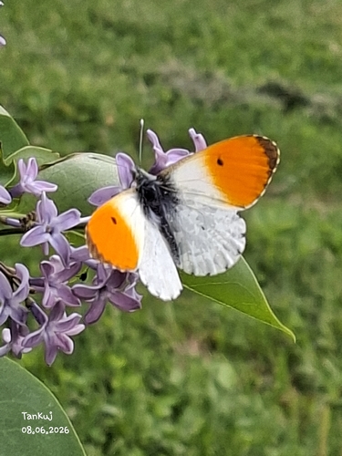
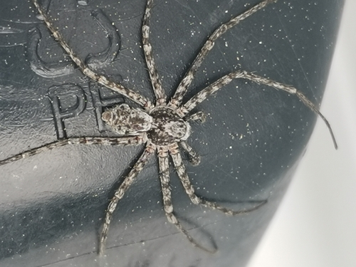
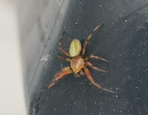
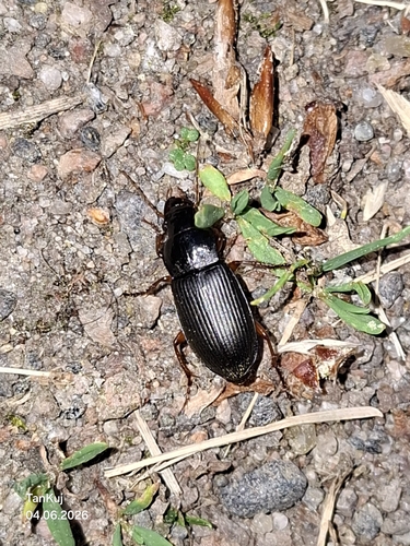
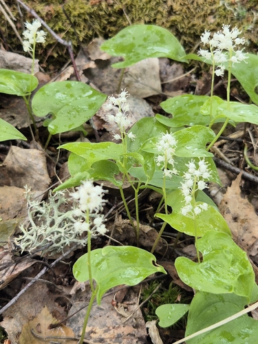
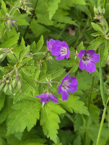
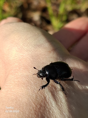
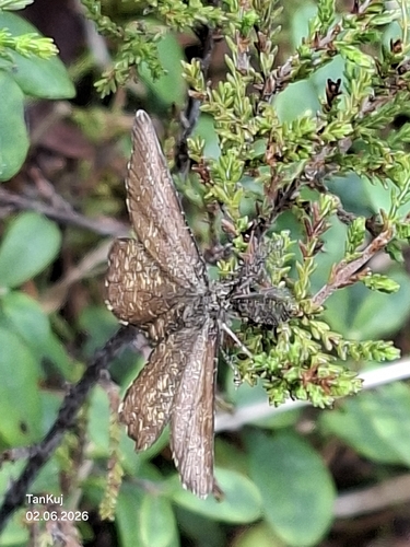
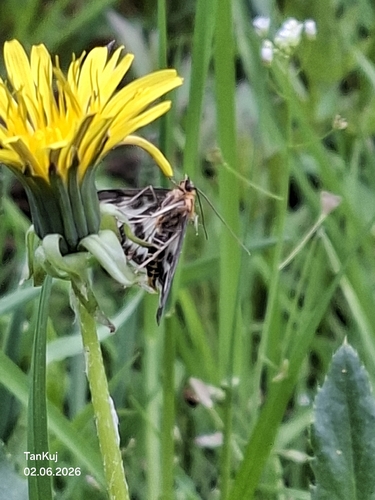
Research-grade observations from iNaturalist (within ~15 mi).
Events
Gallery
Geotagged photos within ~6 miles of Pihtipudas, from Wikimedia Commons contributors.


Photos via Wikimedia Commons — see each image page for license & attribution.
Sources
- • Wikipedia
- • Wikimedia Commons
- • Wikidata
- • USGS Earthquake Catalog (global feed)
- • GBIF (Global Biodiversity Information Facility)
- • iNaturalist
- • Open-Meteo / sunrise-sunset.org
- • Wikipedia Pageviews API
- • Open Library
- • Wikidata SPARQL (CC0) — population, area, elevation, inception, head of government, Commons image