Browse / France / Provence-Alpes-Côte d'Azur / Digne-les-Bains
Digne-les-Bains
Provence-Alpes-Côte d'Azurtown

Digne-les-Bains
Total population
17,192
Demographic figures from INSEE. Overview below cites Wikipedia and may reference a different year.
City facts
Sister cities
Facts from Wikidata (CC0).
Overview
Digne-les-Bains, or simply and historically Digne, is the prefecture of the Alpes-de-Haute-Provence department in the Provence-Alpes-Côte d'Azur region of southern France. Its inhabitants are called Dignois (masculine) and Dignoises (feminine).
Read more on WikipediaHistory & geography
History
Digne-les-Bains dates back to the Neolithic era. The presence of three rivers, the Bléone, the Mardaric, and the Eaux-Chaudes, made the place ideal for human settlement. Before the Roman conquest, it was the capital of the Bodiontici (or Brodiontii), whose name is found on the Tropaeum Alpium at La Turbie. The town then became a Roman town named Dinia in the 1st century, and became a frequent commercial stop during the Roman era. Following the Romans, it was known as Digna by 780, In this area, at the foot of Le Cousson, the soil has been cultivated continuously, from antiquity right up to the recent reforestation. Two separate districts were formed: The town and the city. The town, an ancient site, was surrounded with the castrum of the episcopal chateau built on the Rock. The two neighbourhoods functioned as two independent entities from each other and from their inception. The town remained under the supervision of the provost of the chapter while the city or castrum was of the bishop. The arrival of the Angevins at the head of the County of Provence in 1246 accelerated the recovery process of the comital rights usurped during the previous period by lay or ecclesiastical lords. The return of the comtal power in the city led to a change in the relationship between local authorities and community: In 1260, the city of Digne was given the right to appoint cominaux responsible for ensuring the management of the city. The consolidation of the two sites was done administratively in 1385 by institutional trustees, replacing the cominaux, responsible for representing both the city and the village. The institution evolved with administrative rationalisation at the beginning of the 15th century. Like the rest of France, Digne was taken in the Wars of Religion. In 1562,…
Geography
Located on the edge of the Digne Prealps and on both sides of the river Bléone, which flows southwest through the middle of the commune and crosses the town; it forms part of the commune's northeastern and southwestern borders. Digne-les-Bains is the capital of the Department of Alpes de Haute-Provence. Placed in the geographical centre of the Department, the commune is home to 17,400 inhabitants, making it one of the smaller prefectures of France by its population. The town centre is at altitude. Digne is a sprawling commune in the plain formed around the Bléone Valley, given that the terrain that surrounds it is very rugged. The old town is built on a hill between the Bléone and the torrent of the hot springs, but the town has gradually extended in the three directions of the valleys, especially downstream. Its geographical location is quite remarkable, given that it lies at the edge of the Prealps, on a thrust fault that bears its name. A part of the town is completely enclosed in the Bléone Valley, while the town extends widely, on a gentler relief, downstream. With the annexation of neighbouring towns, especially downstream, the town extends over in length. Image:Digne-les-Bains 05.JPG|General view of the city from west to east File:Ville de Digne-les-Bains.JPG|The old centre from east to west Image:Digne-les-Bains 10.JPG|An aerial view of the centre from west to east Image:Digne-les-Bains 09.JPG|An aerial view of the centre from the east, towards the direction of the Durance river The communes surrounding Digne-les-Bains are La Robine-sur-Galabre, Le Brusquet, Marcoux, Archail, Tartonne, Clumanc, Chaudon-Norante, Châteauredon, Le Chaffaut-Saint-Jurson, Aiglun, Champtercier and Thoard. Digne-les-Bains features a mid-latitude humid subtropical climate…
Excerpted from the corresponding Wikipedia article (CC BY-SA).
Geography
Coordinates & boundaries from the US Census TIGER/Line shapefiles.
Climate
Air quality
Walkability
Amenities nearby
Wildlife & biodiversity
Earthquake history
Photos
Sights & places nearby
Notable people from here


People born within ~10 km, from Wikidata (CC0). Click any name for their Wikipedia article.
Nearby places in Provence-Alpes-Côte d'Azur
- Entrages3.5 mi away · pop. 100
- Archail5.3 mi away · pop. 14
- Châteauredon5.4 mi away · pop. 71
- Le Chaffaut-Saint-Jurson5.6 mi away · pop. 691
- Thoard5.9 mi away · pop. 733
- Le Brusquet6 mi away · pop. 968
- Mallemoisson - Les Grillons6.4 mi away · pop. 984
- Beynes7 mi away · pop. 121
- Le Castellard-Mélan8.6 mi away · pop. 61
- Chaudon-Norante8.7 mi away · pop. 185
- Chadeauvin9.5 mi away
- L'Escale10.5 mi away · pop. 1,377
Geography & sun
Nearby airports
Public attention
Books about this place
Recent natural events nearby
Ground air-quality sensors
Recently spotted species
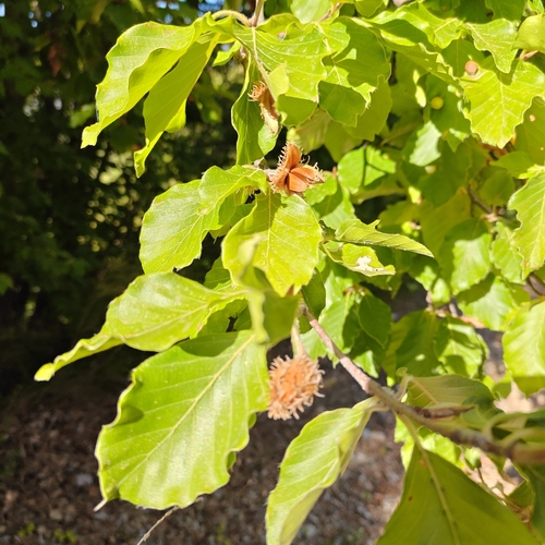
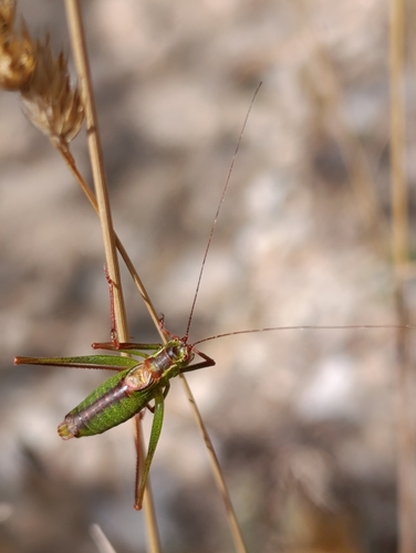


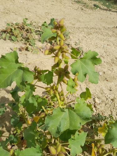
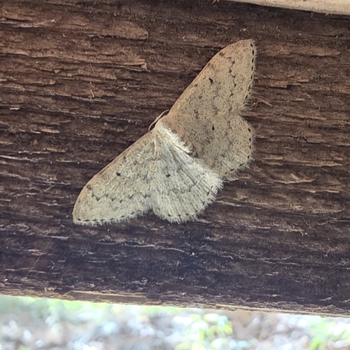

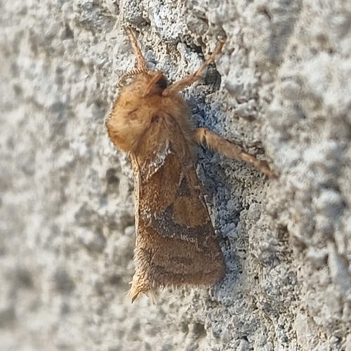
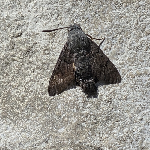
Research-grade observations from iNaturalist (within ~15 mi).
Events
Gallery
Official Identifiers
INSEE — French National Institute of Statistics
- INSEE code
- 04070
- Department
- 04
- Region
- 93
- Population (Wikidata)
- 17,979
geo.api.gouv.fr
Sources
- • Wikipedia
- • Wikidata
- • iNaturalist
- • Wikidata SPARQL (CC0) — population, area, elevation, inception, head of government, Commons image
- • INSEE — French national statistics, via geo.api.gouv.fr (official commune code, population, surface, department, region)
- • INSEE — French National Institute of Statistics — geo.api.gouv.fr