Browse / Croatia / Međimurje / Gornji Kraljevec
Gornji Kraljevec
Međimurjevillage
Total population
1,392
Demographic figures from Croatian Bureau of Statistics. Overview below cites Wikipedia and may reference a different year.
City facts
Facts from Wikidata (CC0).
Overview
Gornji Kraljevec is a village in Međimurje County, Croatia.
Read more on WikipediaHistory & geography
History
In 1478, the village was listed as Kralowecz in the list of settlements belonging to the Čakovec area. The local church was built in 1896. In the 1910 census, the village had a population of 562. It was at the time already predominantly populated by Croats, with Hungarians being a significant minority. The village was part of the Čakovec district () in the Kingdom of Hungary until the Treaty of Trianon was signed in 1920. It then became part of the Kingdom of Yugoslavia. In the 1921 and 1931 censuses, the official name of the village was Kraljevec. Between 1941 and 1945, it was part of Hungary again, as the entire Međimurje region was annexed by the Hungarians at the time. After World War II, it became part of Croatia within the Federal People's Republic of Yugoslavia. Between the 1857 and 1921 censuses, Gornji Kraljevec also included the hamlet of Celine. After being a separate village for around 50 years, Celine again became a hamlet belonging to Gornji Kraljevec in the 1981 and 1991 censuses. Following the independence of Croatia, Gornji Kraljevec became part of the Vratišinec municipality in 1992. At the same time, Celine became a separate village in the Podturen municipality.
Excerpted from the corresponding Wikipedia article (CC BY-SA).
Geography
Coordinates & boundaries from the US Census TIGER/Line shapefiles.
Climate
Air quality
Walkability
Amenities nearby
Wildlife & biodiversity
Earthquake history
Photos
Sights & places nearby
Notable people from here


People born within ~10 km, from Wikidata (CC0). Click any name for their Wikipedia article.
Nearby places in Međimurje
- Vratišinec1.5 mi away · pop. 1,392
- Celine1.7 mi away · pop. 345
- Ferketinec2.1 mi away · pop. 208
- Miklavec2.2 mi away · pop. 474
- Križovec2.3 mi away · pop. 631
- Novo Selo Rok2.4 mi away · pop. 1,441
- Peklenica2.5 mi away · pop. 1,217
- Zebanec Selo3.1 mi away · pop. 377
- Donji Zebanec3.3 mi away · pop. 173
- Podturen3.6 mi away · pop. 1,365
- Mali Mihaljevec3.8 mi away · pop. 410
- Mursko Središće3.8 mi away · pop. 3,321
Geography & sun
Elevation, sunrise/sunset and daylight from Open-Meteo. Solar climatology from NASA POWER.
Nearby airports
Public attention
Pageview totals from the Wikimedia Pageviews API.
Books about this place
Recent natural events nearby
Ground air-quality sensors
Recently spotted species
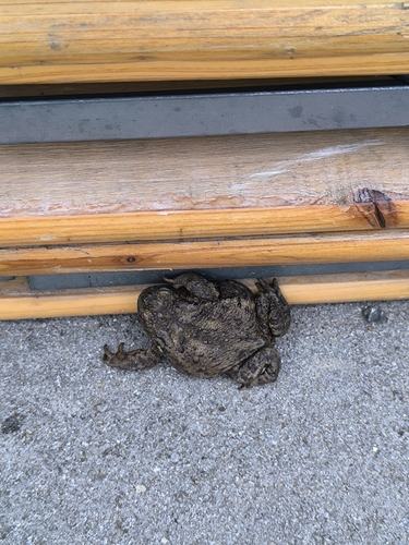
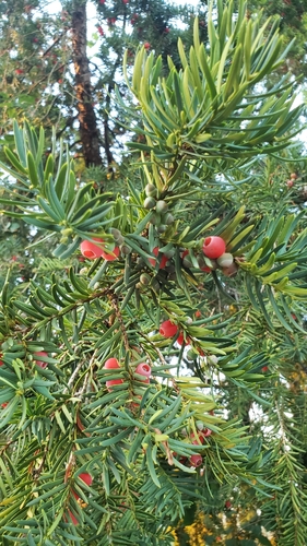
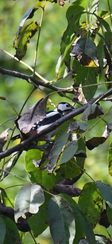
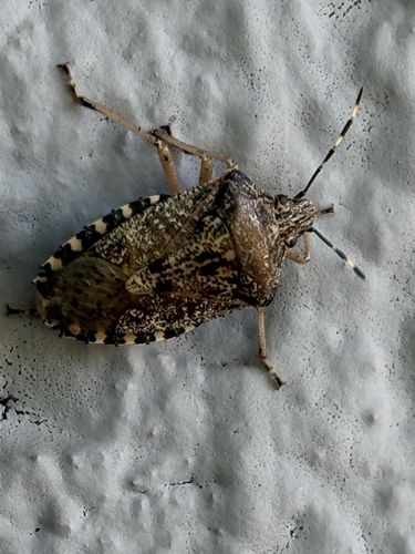
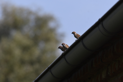
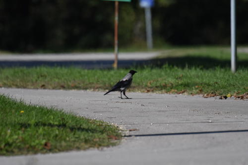
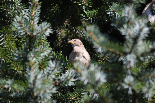
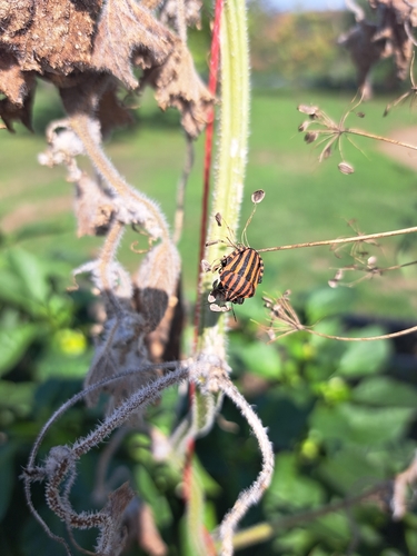
Research-grade observations from iNaturalist (within ~15 mi).
Events
Gallery
Sources
- • Wikipedia
- • Wikidata
- • iNaturalist
- • Open-Meteo / sunrise-sunset.org
- • Wikipedia Pageviews API