Browse / Croatia / Međimurje / Podturen
Podturen
Međimurjevillage

Podturen
Total population
1,365
Demographic figures from Croatian Bureau of Statistics. Overview below cites Wikipedia and may reference a different year.
City facts
Facts from Wikidata (CC0).
Overview
Podturen is a village and a municipality in Međimurje County, Croatia.
Read more on WikipediaHistory & geography
History
The parish of St. Martin in Podturen was first mentioned in 1334 in the first list of parishes in Međimurje. Podturen was mentioned in 1367 as the village Tornu. During the 15th century, it was mentioned as the fortress Turnišće. In September 1601, 24,000 soldiers gathered in the Turnišće fortress with the task of retaking the Kaniža fortress, which had been captured by the Ottomans a year earlier. In 1644, Count Petar Zrinski purchased the fortress and village of Podturen. During the reign of Juraj IV Zrinski (1566-1603), Protestantism developed in Međimurje and the catholic church in Podturen was converted into a Calvinist church. In 1708, Podturen was destroyed by Rakoczy's troops during Rákóczi's War of Independence. In 1786, it had 116 houses, inhabited by 125 families, or 725 inhabitants, of which 387 were women. There were also 8 nobles, 7 craftsmen and merchants, and 50 serfs. Podturen received its Hungarian name Bottornya in 1900.
Geography
The municipality of Podturen is located in the northern part of Međimurje County and covers an area of 31.23 km². The municipality borders Slovenia to the north and Hungary to the northeast. It also borders Dekanovec to the east, Belica to the south, Čakovec to the southwest, Vratišinec to the west and Mursko Središće to the northwest. The area of the Podturen municipality is divided into two parts - the southern part, with arable agricultural land and the Dubrava forest between Sivica and Podturen, and part of the Mura River Protected Landscape which extends from the northwestern to the southeastern part of Podturen.
Excerpted from the corresponding Wikipedia article (CC BY-SA).
Geography
Coordinates & boundaries from the US Census TIGER/Line shapefiles.
Climate
Air quality
Walkability
Amenities nearby
Wildlife & biodiversity
Earthquake history
Photos
Sights & places nearby
Notable people from here


People born within ~10 km, from Wikidata (CC0). Click any name for their Wikipedia article.
Nearby places in Međimurje
- Ferketinec1.8 mi away · pop. 208
- Miklavec2.2 mi away · pop. 474
- Sivica2.4 mi away · pop. 681
- Gardinovec2.7 mi away · pop. 898
- Križovec3 mi away · pop. 631
- Peklenica4.1 mi away · pop. 1,217
- Vratišinec4.4 mi away · pop. 1,392
- Novo Selo Rok4.5 mi away · pop. 1,441
- Donji Hrašćan5.4 mi away · pop. 547
- Mursko Središće6 mi away · pop. 3,321
- Mala Subotica6.3 mi away · pop. 1,986
- Sveti Juraj u Trnju6.8 mi away · pop. 300
Geography & sun
Elevation, sunrise/sunset and daylight from Open-Meteo. Solar climatology from NASA POWER.
Nearby airports
Public attention
Pageview totals from the Wikimedia Pageviews API.
Books about this place
Recent natural events nearby
Ground air-quality sensors
Recently spotted species
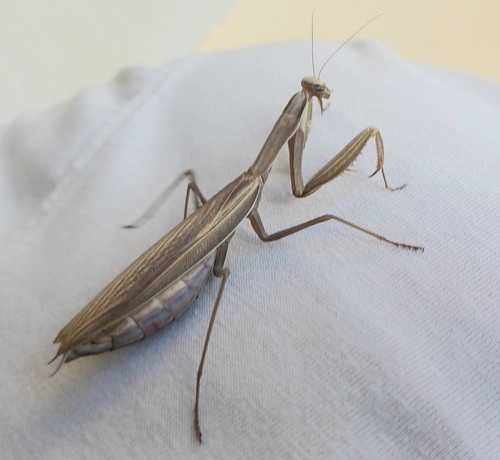
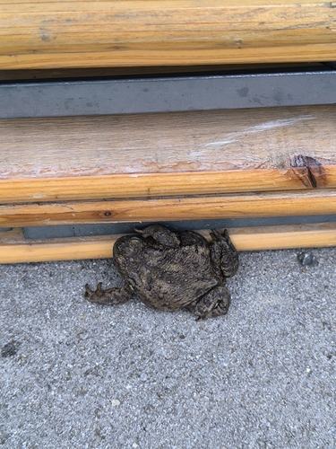
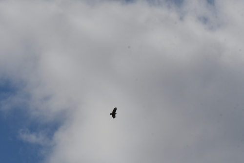
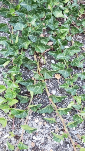
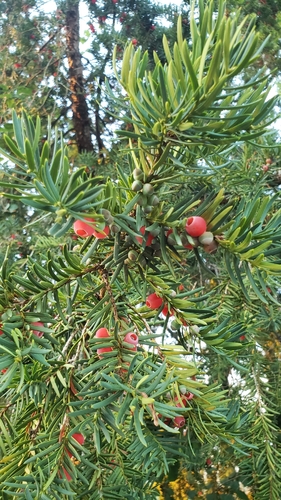
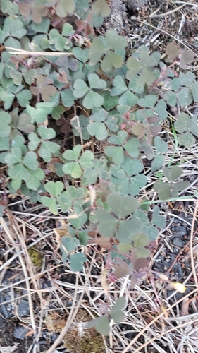
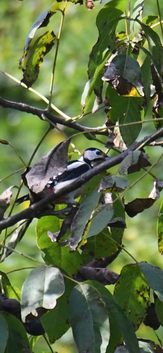
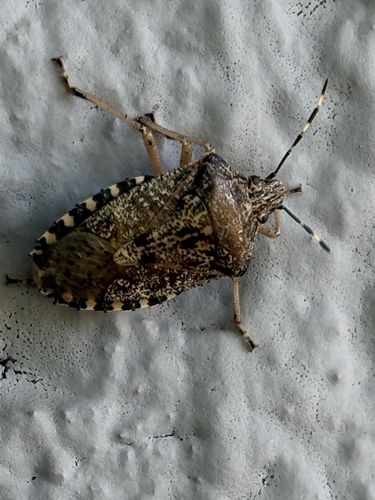
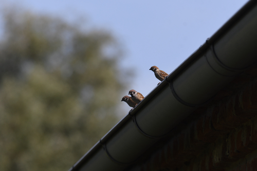
Research-grade observations from iNaturalist (within ~15 mi).
Events
Gallery
Sources
- • Wikipedia
- • Wikidata
- • iNaturalist
- • Open-Meteo / sunrise-sunset.org
- • Wikipedia Pageviews API