Browse / Croatia / Primorje-Gorski Kotar / Hreljin
Hreljin
Primorje-Gorski Kotarvillage

Hreljin
Total population
2,206
Air quality index
Demographic figures from Croatian Bureau of Statistics. Overview below cites Wikipedia and may reference a different year.
City facts
Facts from Wikidata (CC0).
Overview
Hreljin is a village in western Croatia, just southeast of Bakar and northeast of Kraljevica, above Bay of Bakar.
Read more on WikipediaHistory & geography
History
Legend claims that a Greek named Herkul founded the village. In 1228 Hreljin signed the Vinodol act making Hreljin Castle one of nine Vinodol castles. Hreljin was mentioned on 22 February 1481 in a document freeing the citizens of Grič from tariffs in Hreljin and elsewhere. In 1607 and 1608, Nikola VI Zrinski complained to the Slavonian Sabor about certain violent acts committed by the soldiers of Senj in the Bay of Bakar, where they plundered and wrecked two ships loaded with oil and grain. On 25 March 2022 at 16:53 the ŽVOC Rijeka received a call about a wildfire in the area. burned by the time it was put out at 22:16 by JVP Rijeka, DVD Hreljin, DVD Zlobin, DVD Škrljevo and DVD Bakar.
Excerpted from the corresponding Wikipedia article (CC BY-SA).
Geography
Coordinates & boundaries from the US Census TIGER/Line shapefiles.
Climate
Air quality
Current readings from Open-Meteo Air Quality API (Copernicus CAMS European reanalysis).
Walkability
Amenities nearby
Wildlife & biodiversity
Most-observed species
- Yellow-legged GullLarus michahellis J.F.Naumann, 1840 · Aves1,913
- Eurasian BlackbirdTurdus merula Linnaeus, 1758 · Aves1,688
- House SparrowPasser domesticus (Linnaeus, 1758) · Aves1,447
- Hooded CrowCorvus cornix Linnaeus, 1758 · Aves1,442
- Rock PigeonColumba livia J.F.Gmelin, 1789 · Aves1,416
- Eurasian Collared-DoveStreptopelia decaocto (Frivaldszky, 1838) · Aves1,277
- Great TitParus major Linnaeus, 1758 · Aves1,027
- European RobinErithacus rubecula (Linnaeus, 1758) · Aves648
Citizen-science & research observations from the Global Biodiversity Information Facility (GBIF).
Earthquake history
Photos
Sights & places nearby
Notable people from here


People born within ~10 km, from Wikidata (CC0). Click any name for their Wikipedia article.
Nearby places in Primorje-Gorski Kotar
- Bakarac0.8 mi away · pop. 313
- Mali Dol1.8 mi away · pop. 180
- Veli Dol2.4 mi away · pop. 195
- Drivenik3.9 mi away · pop. 308
- Jadranovo4.1 mi away · pop. 1,224
- Benkovac Fužinski4.5 mi away · pop. 33
- Kukuljanovo4.7 mi away · pop. 905
- Ponikve4.8 mi away · pop. 45
- Omišalj5.5 mi away · pop. 1,868
- Tribalj5.8 mi away · pop. 621
- Mavrinci6.5 mi away · pop. 1,021
- Podrvanj8 mi away · pop. 461
Geography & sun
Elevation, sunrise/sunset and daylight from Open-Meteo. Solar climatology from NASA POWER.
Nearby airports
Public attention
Pageview totals from the Wikimedia Pageviews API.
Books about this place
Recent natural events nearby
Ground air-quality sensors
Recently spotted species
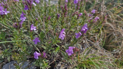
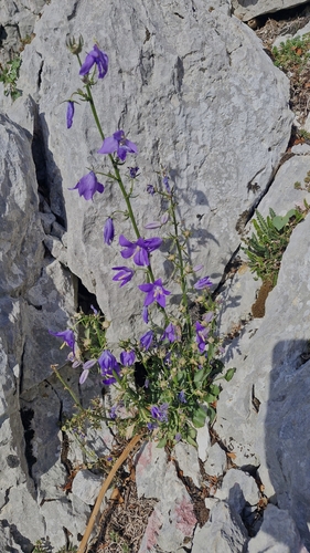
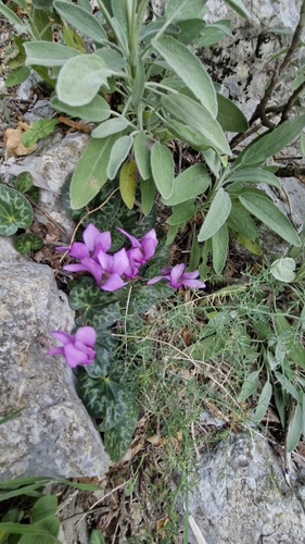
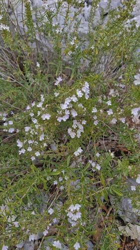
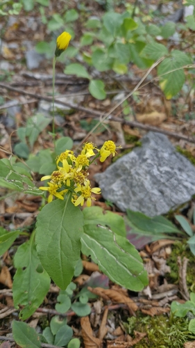
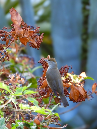
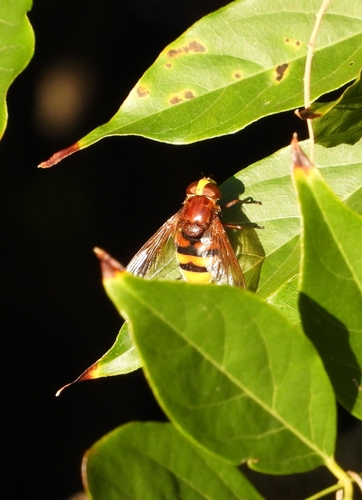
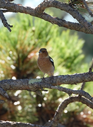
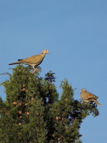
Research-grade observations from iNaturalist (within ~15 mi).
Events
Gallery
Sources
- • Wikipedia
- • Wikidata
- • Open-Meteo Air Quality (CAMS)
- • GBIF (Global Biodiversity Information Facility)
- • iNaturalist
- • Open-Meteo / sunrise-sunset.org
- • Wikipedia Pageviews API