Browse / Croatia / Split-Dalmatia / Jelsa
Jelsa
Split-Dalmatiavillage

Jelsa
Total population
1,801
Demographic figures from Croatian Bureau of Statistics. Overview below cites Wikipedia and may reference a different year.
City facts
Sister cities
Facts from Wikidata (CC0).
Overview
Jelsa is a town in Croatia, on the island of Hvar, the seat of the eponymous municipality (općina) within the county of Split-Dalmatia.
Read more on WikipediaHistory & geography
History
The old town of Jelsa (Civitas Vetus Ielsae) was mentioned in the Statute of Hvar in 1331. Although the exact location and extent of the ancient Jelsa are not well understood, remnants of the old protective wall can still be seen on the west side of the Gradina peninsula. Material remains from the Roman period prove the existence of a settlement in the area of Jelsa. Several villas are preserved in the area of Kutac, round St. Rock and in the cove called Carkvica of St. Luke. On the mountain spur overlooking Jelsa to the south, is the massive fortress of Tor, which was a Greek observation point, standing on an older Illyrian fort (4th–3rd century B.C.). The location is an ideal defensive position as it overlooks the islands of Hvar and Brač as far as Šolta and the Makarska coast. Demetrius of Hvar reigned here for some ten years until the Roman occupation. Slightly further eastwards, the fortress of Grad (or Galešnik) stands on a high cliff above the ancient road leading to the eastern end of the island. Originally Illyrian, the fort was further developed in Roman times, and still inhabited during the early Middle Ages. Its present name is believed to derive from the nobleman Galeša Slavogosti, who led an unsuccessful rebellion against Venice, in 1310, using this fortress as his stronghold. The present town of Jelsa was founded as a port for the village of Pitve in the 14th century. The 1424 Statute of Hvar mentions it as being 3 km from the sea, under the hill of Gozd, in the quest for sea and fishing, and having good fresh water (Portus de Pitue, p. 202, fons vocata Ielsa qui est prope mare, pp. 50 i 51, ad Ielsa usque ad ripam maris, p. 46, itd.). The first houses were built around the church of Sv. Mihović (St Michael) at Mala…
Geography
The town of Jelsa is situated in a bay on the middle of the north coast of the island of Hvar. To the south of the town are dense pine woods on the sloping hills of the island's ridge. Jelsa is the only place on the island with an abundance of fresh water, as a result of which there is more luxuriant vegetation here than elsewhere. The agricultural plain lying to the west of Jelsa is the UNESCO protected world heritage site [https://whc.unesco.org/en/list/1240 Starigrad Plain].
Excerpted from the corresponding Wikipedia article (CC BY-SA).
Geography
Coordinates & boundaries from the US Census TIGER/Line shapefiles.
Climate
Air quality
Walkability
Amenities nearby
Wildlife & biodiversity
Earthquake history
Photos
Sights & places nearby
Notable people from here
Nearby places in Split-Dalmatia
- Vrboska1.8 mi away · pop. 548
- Selca kod Starog Grada6.4 mi away · pop. 17
- Zastražišće7.2 mi away · pop. 177
- Velo Grablje8.7 mi away · pop. 7
- Murvica8.9 mi away · pop. 21
- Zaraće8.9 mi away · pop. 14
- Malo Grablje9.6 mi away
- Milna10.4 mi away · pop. 90
- Pražnica11 mi away · pop. 371
- Gdinj12 mi away · pop. 133
- Novo Selo12.7 mi away · pop. 152
- Pučišća13.1 mi away · pop. 1,529
Geography & sun
Elevation, sunrise/sunset and daylight from Open-Meteo. Solar climatology from NASA POWER.
Nearby airports
Public attention
Pageview totals from the Wikimedia Pageviews API.
Books about this place
Recent natural events nearby
Ground air-quality sensors
Recently spotted species
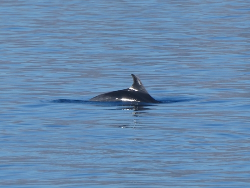
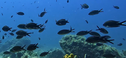
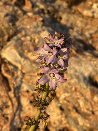
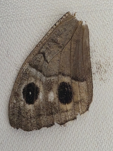
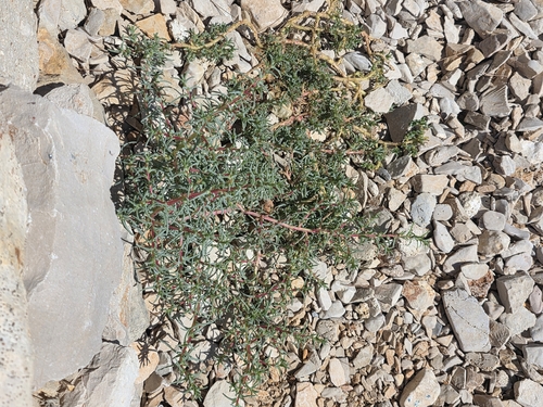
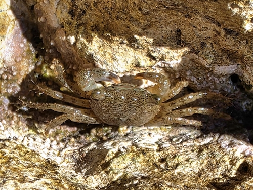
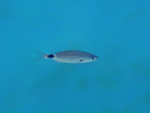
Research-grade observations from iNaturalist (within ~15 mi).
Events
Gallery
Sources
- • Wikipedia
- • Wikidata
- • iNaturalist
- • Open-Meteo / sunrise-sunset.org
- • Wikipedia Pageviews API