Browse / Croatia / Split-Dalmatia / Zastražišće
Zastražišće
Split-Dalmatiavillage

Featured view
Zastražišće
Total population
177
Elevation311 m
Land area29.1 km²
Coordinates43.15°, 16.84°
Demographic figures from Croatian Bureau of Statistics. Overview below cites Wikipedia and may reference a different year.
Loading additional data from public sources…0 / 11
CensusWikipediaWeatherPlacesPeopleEnvironmentHealth & SchoolsRelatedGeography & CultureLive MonitoringEvents & Gallery
0% completeCity facts
Elevation
311 m
Area
29.1 km²
Facts from Wikidata (CC0).
Overview
Zastražišće is a village on the island of Hvar in Croatia. It is connected by the D116 highway.
Read more on WikipediaHistory & geography
Geography
Latitude
43.1456
Longitude
16.8352
Water area
—
Coordinates & boundaries from the US Census TIGER/Line shapefiles.
Climate
Air quality
Walkability
Amenities nearby
Wildlife & biodiversity
Earthquake history
Photos
Sights & places nearby
Notable people from here

Antun Dobronić
Croatian composer (1878-1955)

Demetrius of Pharos
ancient chieftain of the Illyrians, 3rd c. BCE

Grga Novak
Croatian historian, archeologist and geographer (1888–1978)
V
Vinko Pribojević
Croatian historian
L
Lorenzo Gazzari
Italian footballer (1907-1998)
O
Otmar Gazzari
Italian footballer (1905-1987)
M
Mikša Pelegrinović
Croatian poet

Gian Francesco Biondi
Croatian-Italian diplomat and writer
A
A. Abdullah
J
Juraj Dobrović
Croatian artist
G
Grgo Gamulin
Croatian art historian, literary and art critic and writer
M
Marica Buratović
Croatian poet
Z
Zorko Rajčić
actor (1930-2011)
G
Gizela Šuklje
Slovenian architect
N
Nikola Kuzmičić
Croatian theologian and writer

Lujo Šuklje
Slovenian university teacher
People born within ~10 km, from Wikidata (CC0). Click any name for their Wikipedia article.
Nearby places in Split-Dalmatia
- Gdinj4.8 mi away · pop. 133
- Jelsa7.2 mi away · pop. 1,801
- Zavala7.7 mi away · pop. 156
- Vrboska8.6 mi away · pop. 548
- Novo Selo11.2 mi away · pop. 152
- Selca kod Bogomolja11.8 mi away · pop. 6
- Stari Grad12.2 mi away · pop. 1,921
- Selca kod Starog Grada13.6 mi away · pop. 17
- Pražnica13.9 mi away · pop. 371
- Krvavica14.7 mi away · pop. 314
- Murvica14.8 mi away · pop. 21
- Pučišća14.9 mi away · pop. 1,529
Geography & sun
Avg solar (kWh/m²/day)
4.16
Annual solar (kWh/m²)
1,520
Elevation, sunrise/sunset and daylight from Open-Meteo. Solar climatology from NASA POWER.
Nearby airports
Public attention
Wikipedia views (last 30 days)
49
Avg daily Wikipedia views
2
Attention level
Obscure
Pageview totals from the Wikimedia Pageviews API.
Books about this place
Recent natural events nearby
Ground air-quality sensors
Recently spotted species
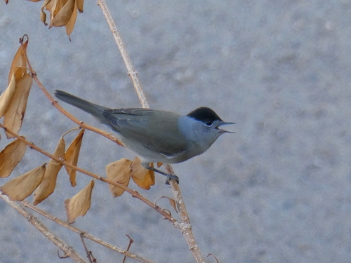
Eurasian Blackcap
Sylvia atricapilla
Seen 2026-09-26
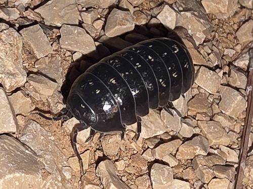
Common Pill Woodlouse
Armadillidium vulgare
Seen 2026-09-26
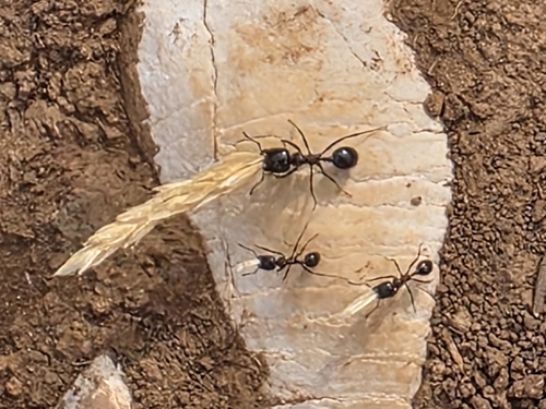
Wasmann's Harvester Ant
Messor wasmanni
Seen 2026-09-24
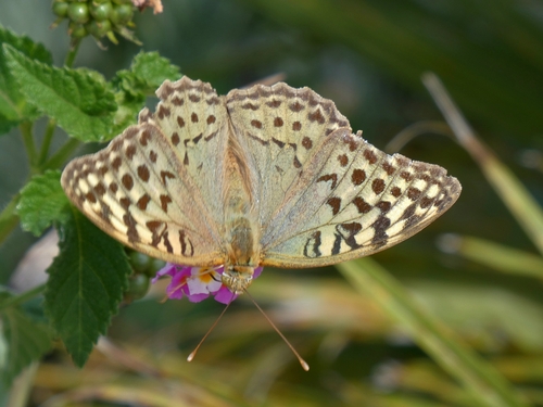
Cardinal Butterfly
Argynnis pandora
Seen 2026-09-24
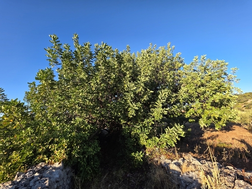
carob tree
Ceratonia siliqua
Seen 2026-09-23
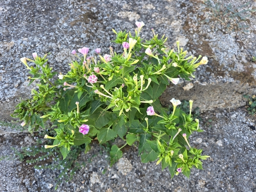
marvel of Peru
Mirabilis jalapa
Seen 2026-09-23
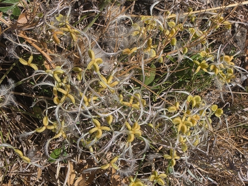
fragrant virgin's-bower
Clematis flammula
Seen 2026-09-23
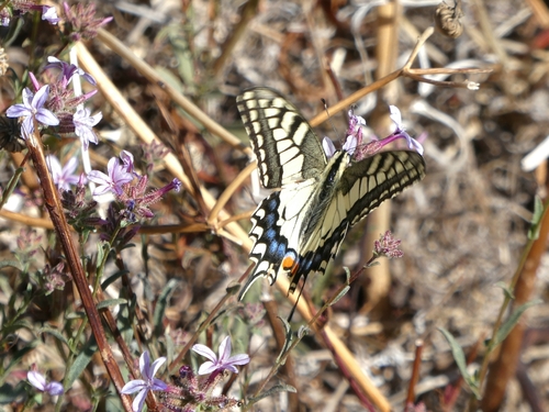
Old World Swallowtail
Papilio machaon
Seen 2026-09-23
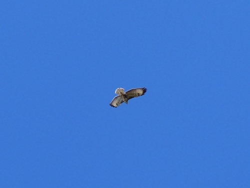
Common Buzzard
Buteo buteo
Seen 2026-09-23
Research-grade observations from iNaturalist (within ~15 mi).
Events
Gallery
Sources
- • Wikipedia
- • Wikidata
- • iNaturalist
- • Open-Meteo / sunrise-sunset.org
- • Wikipedia Pageviews API