Browse / United States / Iowa / Mount Vernon
Mount Vernon
Iowacity

Mount Vernon
Total population
4,513
Median home value
$245,200
Bachelor's+
Median income
$112,656
Demographic figures from US Census Bureau · ACS 5-year estimates. Overview below cites Wikipedia and may reference a different year.
- Freeze Warning · SevereFreeze Warning issued October 16 at 8:43PM CDT until October 17 at 9:00AM CDT by NWS Quad Cities IA IL
Source: NOAA National Weather Service.
City facts
Facts from Wikidata (CC0).
Overview
Mount Vernon is a city in Linn County, Iowa, United States, adjacent to the city of Lisbon. The population was 4,527 at the time of the 2020 census. Mount Vernon is part of the Cedar Rapids metropolitan area. Mount Vernon is home of Cornell College, a private liberal arts college.
Read more on WikipediaHistory & geography
History
Mount Vernon was laid out in 1847, but its origins date back to at least 1838, when it was known as Pinhook, a rest stop on Military Road, which ran between Dubuque, on the Mississippi River, and Iowa City. It was renamed Mount Vernon in 1847, after the estate of George Washington. The Iowa Conference (Methodist) Male and Female Seminary (which later became Cornell College) was established in the town in 1853, and the Northwestern Railroad reached it in 1859, bringing new business to the town as its population expanded.
Geography
Mount Vernon has a total area of , of which is land and is water. The most prominent geographic feature of Mount Vernon is the "mountain" on which it sits. This "mountain" is actually a paha, a ridge formed of sand and loess along the line of the prevailing wind during the ice ages. The Mount Vernon paha is roughly one mile (2 km) long and 1/4 mile (1/2 km) wide, aligned along a roughly northwest to southeast axis and rising up to 100 feet (30 m) above the surrounding landscape. Uptown Mount Vernon is aligned with the southeast end of the ridge crest, while the campus of Cornell College crowns the northwest end of the ridge. The town is located on significant transportation corridors, both current and historical. The main line of the Union Pacific Railroad passes through the city, and the town is located on the historic Lincoln Highway. U.S. Route 30 and Iowa Highway 1 intersect in the southern part of town. Passenger train service was once provided by the Chicago and North Western Railway from a station in the north of town. The CRANDIC interurban electric railway ran from Cedar Rapids, through downtown Mount Vernon, and ended in nearby Lisbon. The interurban ran from 1914 to 1928 and took 45 minutes to travel to the western terminus of Cedar Rapids. Nearby stops included Bertram, the Palisades and Cornell College.
Excerpted from the corresponding Wikipedia article (CC BY-SA).
Demographics & economy
Race & ethnicity
Source: US Census Bureau — American Community Survey, 5-year estimates.
Geography
Coordinates & boundaries from the US Census TIGER/Line shapefiles.
Climate
Current forecast
Forecast for Mount Vernon, IA from NOAA NWS API.
Air quality
Industrial & pollution facilities
Natural hazard risk
Health (adults)
Age-adjusted prevalence estimates from CDC PLACES (latest release).
Walkability
Amenities nearby
Wildlife & biodiversity
Most-observed species
- Northern CardinalCardinalis cardinalis (Linnaeus, 1758) · Aves5,735
- Black-capped ChickadeePoecile atricapillus (Linnaeus, 1766) · Aves4,685
- American CrowCorvus brachyrhynchos C.L.Brehm, 1822 · Aves4,443
- American RobinTurdus migratorius Linnaeus, 1766 · Aves4,339
- Canada Goose (canadensis Group)Branta canadensis (Linnaeus, 1758) · Aves4,309
- Blue JayCyanocitta cristata (Linnaeus, 1758) · Aves4,074
- House SparrowPasser domesticus (Linnaeus, 1758) · Aves3,962
- Downy WoodpeckerDryobates pubescens (Linnaeus, 1766) · Aves3,932
Citizen-science & research observations from the Global Biodiversity Information Facility (GBIF).
Schools
Largest nearby schools
- Washington Elementary SchoolElementary · Mount Vernon · 537 students · 13.1:1 ratio
- Mount Vernon High SchoolHigh · Mount Vernon · 468 students · 16.7:1 ratio
- Lisbon Elementary SchoolElementary · Lisbon · 415 students · 14.3:1 ratio
- Mount Vernon Middle SchoolMiddle · Mount Vernon · 397 students · 15.3:1 ratio
- Lisbon SecondaryHigh · Lisbon · 304 students · 13.8:1 ratio
- Springville Elementary SchoolElementary · Springville · 253 students · 14.9:1 ratio
- Springville Secondary SchoolHigh · Springville · 185 students · 10.9:1 ratio
Public K–12 schools within ~10 mi from Urban Institute Education Data Portal (NCES Common Core of Data, 2022).
Earthquake history
Events from the USGS Earthquake Catalog (global) (FDSN Event Web Service).
Photos
Sights & places nearby
Notable people from here


People born within ~10 km, from Wikidata (CC0). Click any name for their Wikipedia article.
Nearby places in Iowa
- Martelle7.5 mi away · pop. 457
- Ely8.9 mi away · pop. 2,186
- Solon9 mi away
- Marion11.8 mi away · pop. 41,535
- Shueyville12.9 mi away
- Stone City13.1 mi away · pop. 154
- Cedar Rapids13.4 mi away · pop. 137,917
- Anamosa14.9 mi away · pop. 5,629
- Swisher15 mi away
- Olin15.4 mi away · pop. 830
- North Liberty15.7 mi away · pop. 20,479
- Hiawatha16.4 mi away · pop. 7,206
Geography & sun
Elevation, sunrise/sunset and daylight from Open-Meteo. Solar climatology from NASA POWER.
Nearby airports
Public attention
Pageview totals from the Wikimedia Pageviews API.
Books about Mount Vernon

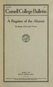
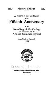
Search results from Open Library.
Recent natural events nearby
Ground air-quality sensors
Recently spotted species
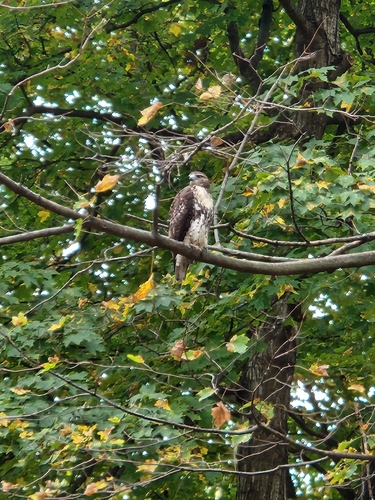

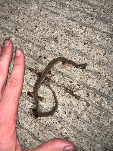
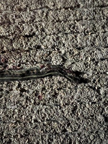
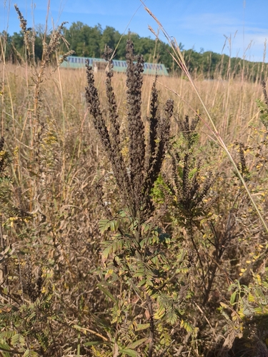



Research-grade observations from iNaturalist (within ~15 mi).
Nearest stream gauge
Events
Gallery
Sources
- • Wikipedia
- • US Census Bureau (ACS 5-year estimates)
- • NOAA National Weather Service
- • Wikidata
- • USGS Earthquake Catalog (global feed)
- • NCES via Urban Institute Education Data Portal
- • GBIF (Global Biodiversity Information Facility)
- • iNaturalist
- • CDC PLACES
- • Open-Meteo / sunrise-sunset.org
- • Wikipedia Pageviews API
- • Open Library