Browse / Ireland / Kildare / Clane
Clane
Kildaretown

Clane
Total population
2,500
Demographic figures from Central Statistics Office (Ireland). Overview below cites Wikipedia and may reference a different year.
City facts
Facts from Wikidata (CC0).
Overview
Clane is a town in County Kildare, Ireland. With a population of 8,152 in 2022, it is the ninth-largest town in Kildare and the 66th-largest in Ireland. The town is on the River Liffey. Clane gives its name to the associated townland, civil parish, electoral division and surrounding barony.
Read more on WikipediaHistory & geography
History
The town most probably owes its origin to the foundation of Clane Friary in the sixth century, from about 520 A.D., when Ailbe of Emly, Bishop of Ferns, founded an Abbey in Clane and made St. Senchel the Elder its first Abbot. Saint Ultan Tua, who used to put a stone into his mouth to prevent him from speaking during Lent, and his brother Fotharnaise, are said to have been buried in Clane. They were brothers of Maighend, Abbot of Kilmainham, from whom the parish and church of Mainham, near Clane, were probably called. King Mesgegra's Mound claims links to the legendary first-century AD king Mesgegra of Leinster. It was later used by Normans. The ruins of the Franciscan monastery founded at Clane by Sir Gerald FitzMaurice, 3rd Lord Ophaly, in 1272 still exist. In 1542, Henry VIII's Commissioner granted the site and precincts of this House of Friars, manor or preaching-house of the preaching Friars of Clane to Robert Eustace, Roger Roche and Ed. Brown for £177. Besides about of land in the neighbourhood, its possessions consisted of a church, cemetery, chapter-house, dormitory, store, kitchen, two chambers, stable and orchard. The dormitory and other buildings probably stood on the north side of the Abbey Church, and have long since completely disappeared. The parish of Clane has the distinction of being the place where the rebellion of 1798 broke out; a battle between the United Irishmen and the Yeomen forces led by Richard Griffith took place on Coiseanna Hill by the modern Woods Centre. The rebels were easily defeated, and the survivors fled to Timahoe with the rest of the North Kildare rebels.
Excerpted from the corresponding Wikipedia article (CC BY-SA).
Geography
Coordinates & boundaries from the US Census TIGER/Line shapefiles.
Climate
Air quality
Walkability
Amenities nearby
Wildlife & biodiversity
Earthquake history
Photos
Sights & places nearby
Notable people from here
Nearby places in Kildare
Geography & sun
Elevation, sunrise/sunset and daylight from Open-Meteo. Solar climatology from NASA POWER.
Nearby airports
Public attention
Pageview totals from the Wikimedia Pageviews API.
Books about Clane

Search results from Open Library.
Recent natural events nearby
Ground air-quality sensors
Recently spotted species
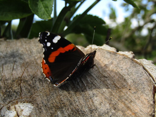
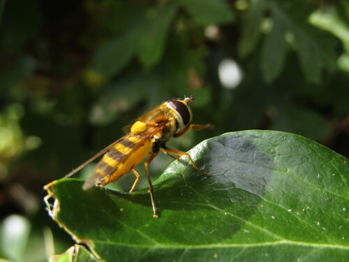
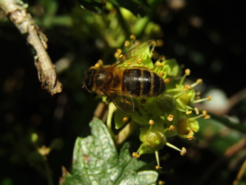
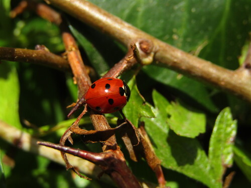
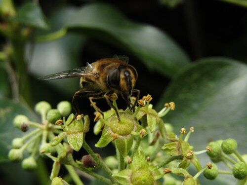
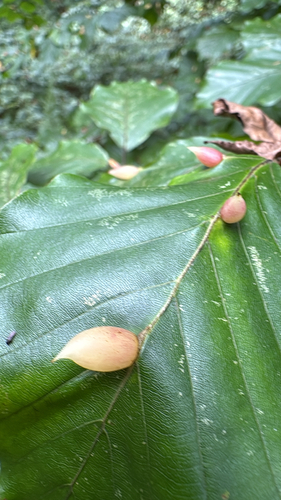
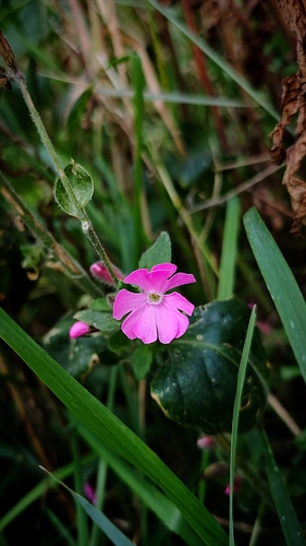
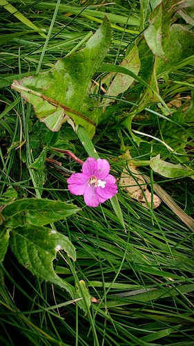
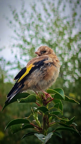
Research-grade observations from iNaturalist (within ~15 mi).
Events
Gallery
Sources
- • Wikipedia
- • Wikidata
- • iNaturalist
- • Open-Meteo / sunrise-sunset.org
- • Wikipedia Pageviews API
- • Open Library